
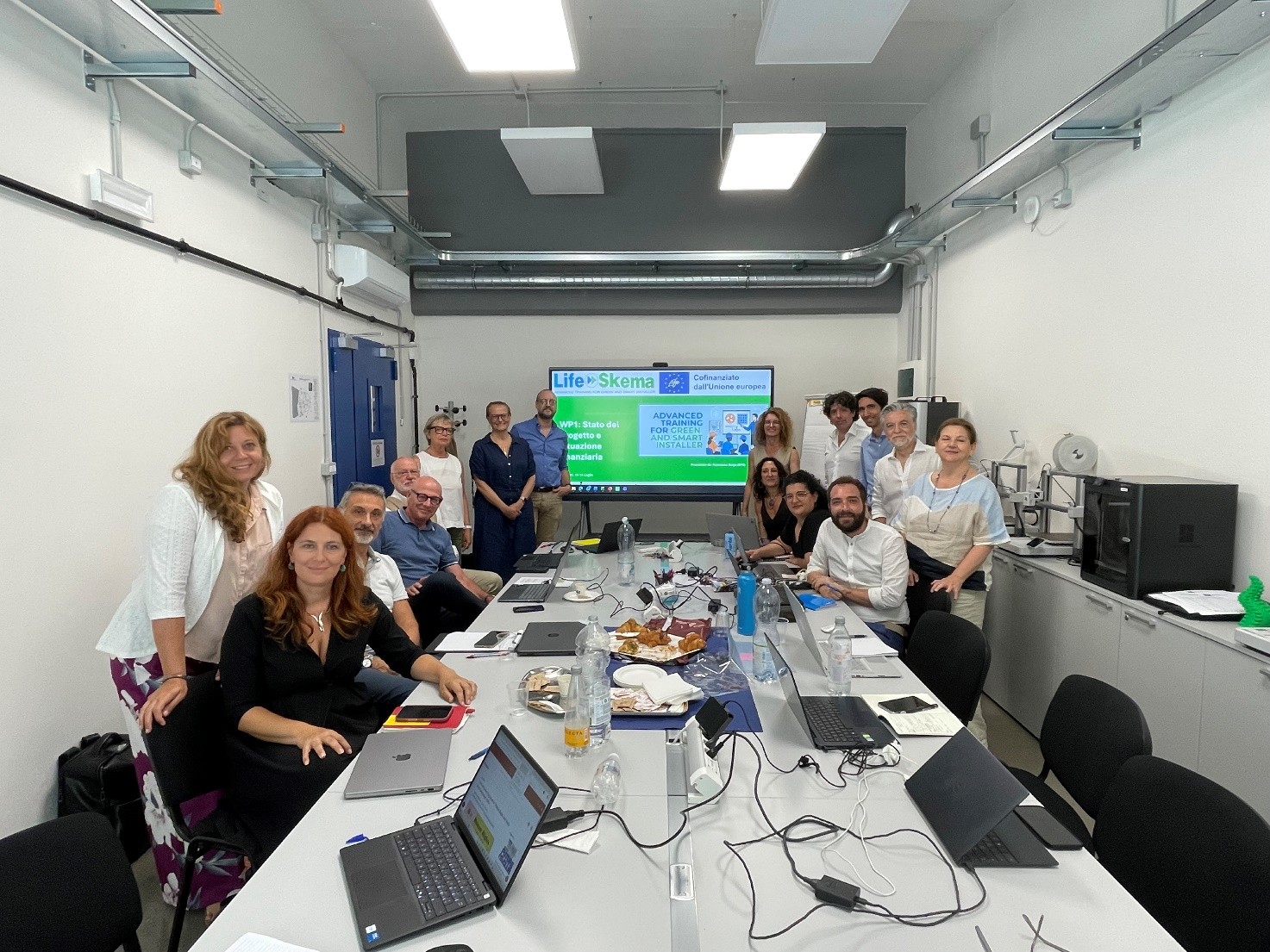
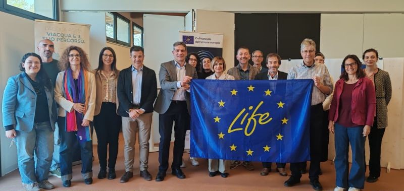
EUROPEAN PROJECTS
Consulting, planning and technical assistance services for the development and management of European Projects. Direct support to local authorities for the submission of national and regional funding calls...

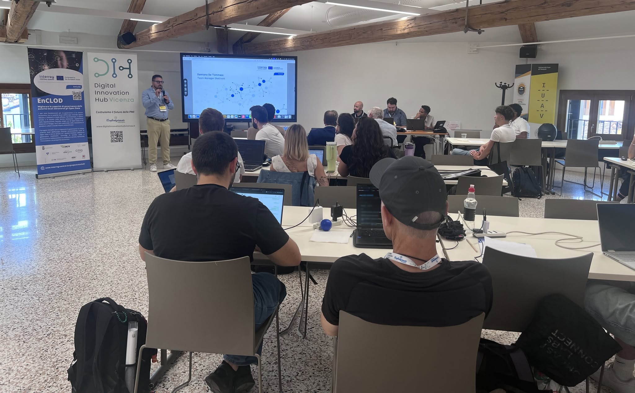
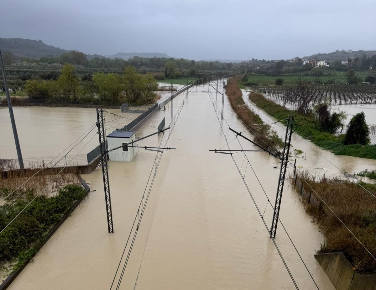
LAND AND ENVIRONMENT
Consulting, planning and technical assistance services for the development and management of European Projects. Direct support to public and private entities for applying to European, national and regional calls...

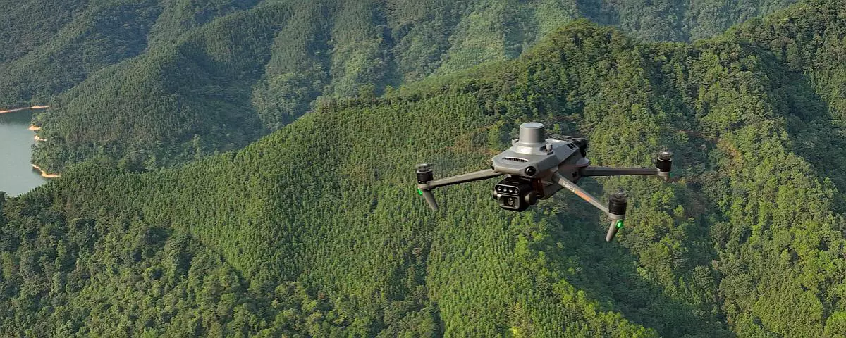
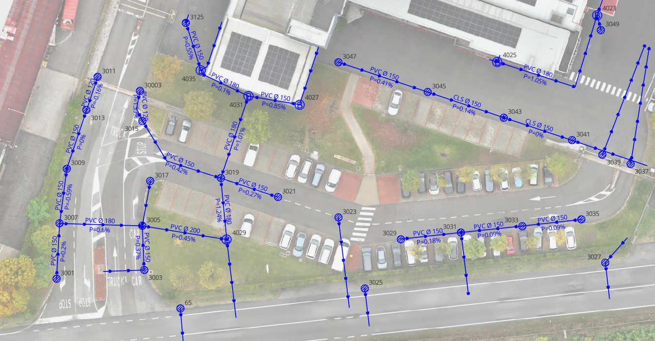
REMOTE SENSING
Integrated services for topographic surveys using innovative technologies: terrestrial laser scanners, UAVs (drones) and GPS. Complete supply, rental and service according to different customer needs...

Advanced Design
Innovative solutions for environmental design on community, national and regional funded programs.

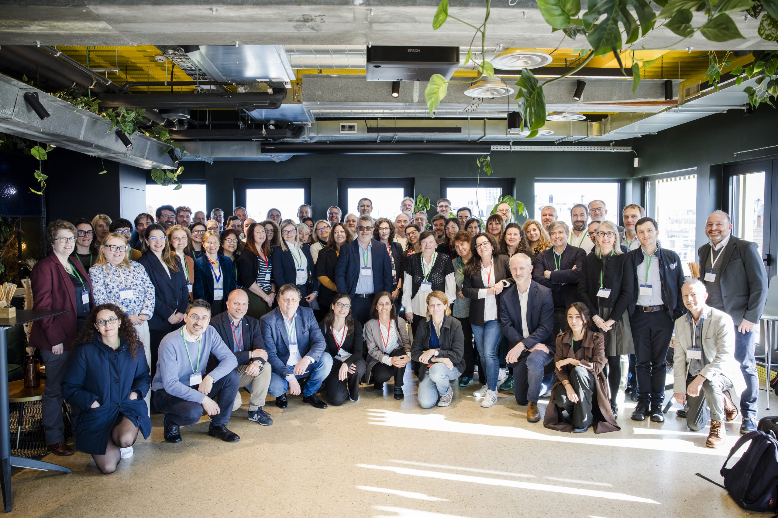
International Network
We can rely on an extensive network of relationships and partnerships, both nationally and internationally.

Funds and Benefits
Support in raising funds for development and research projects.


Testimonials

Lorem ipsum dolor sit amet, consectetur adipiscing elit. Morbi felis sem, pretium maximus dignissim eget, semper ut est. Sed eget nulla nec ipsum elementum.

Lorem ipsum dolor sit amet, consectetur adipiscing elit. Morbi felis sem, pretium maximus dignissim eget, semper ut est. Sed eget nulla nec ipsum elementum.

Lorem ipsum dolor sit amet, consectetur adipiscing elit. Morbi felis sem, pretium maximus dignissim eget, semper ut est. Sed eget nulla nec ipsum elementum.