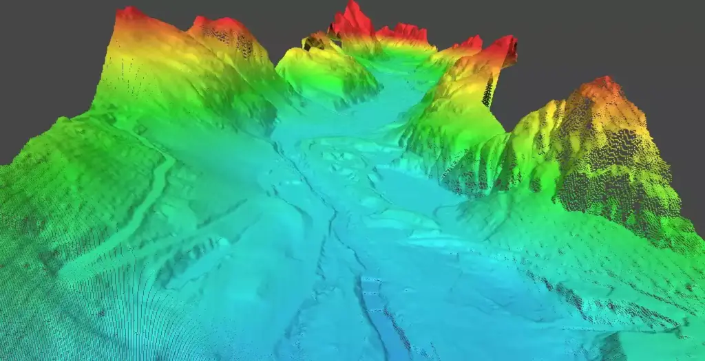
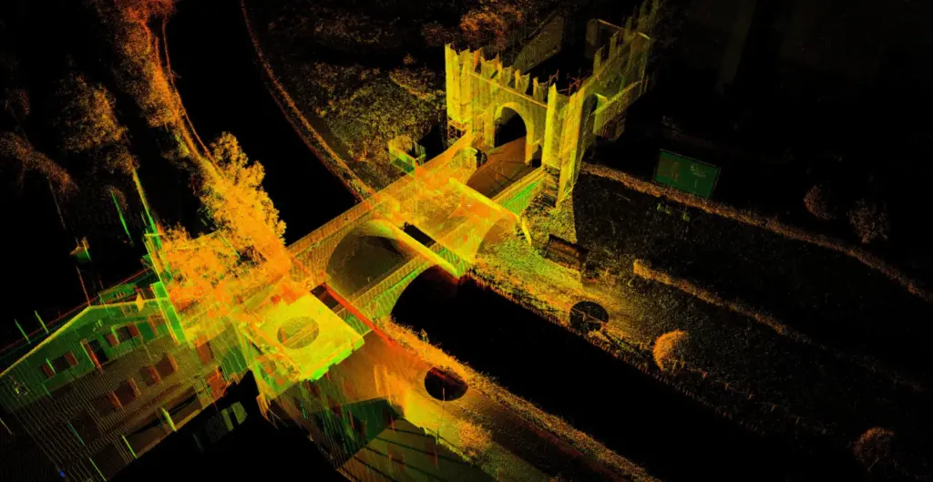
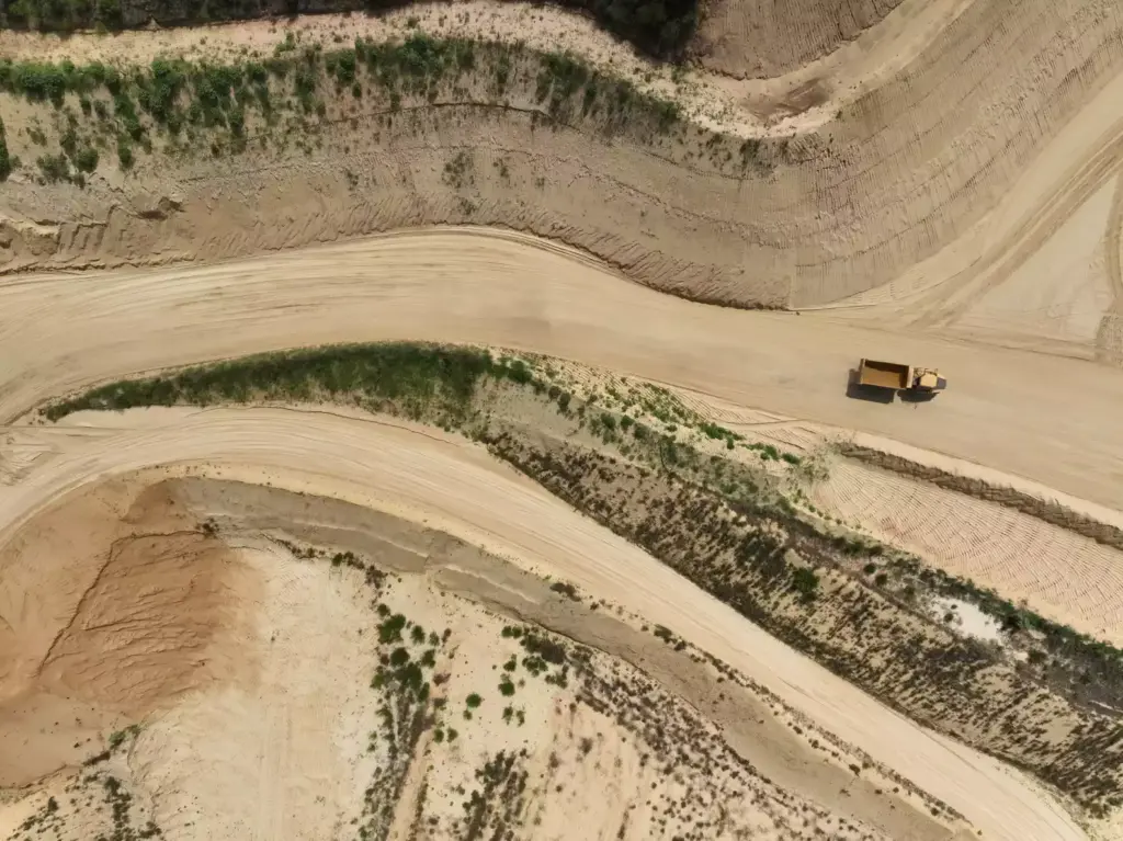
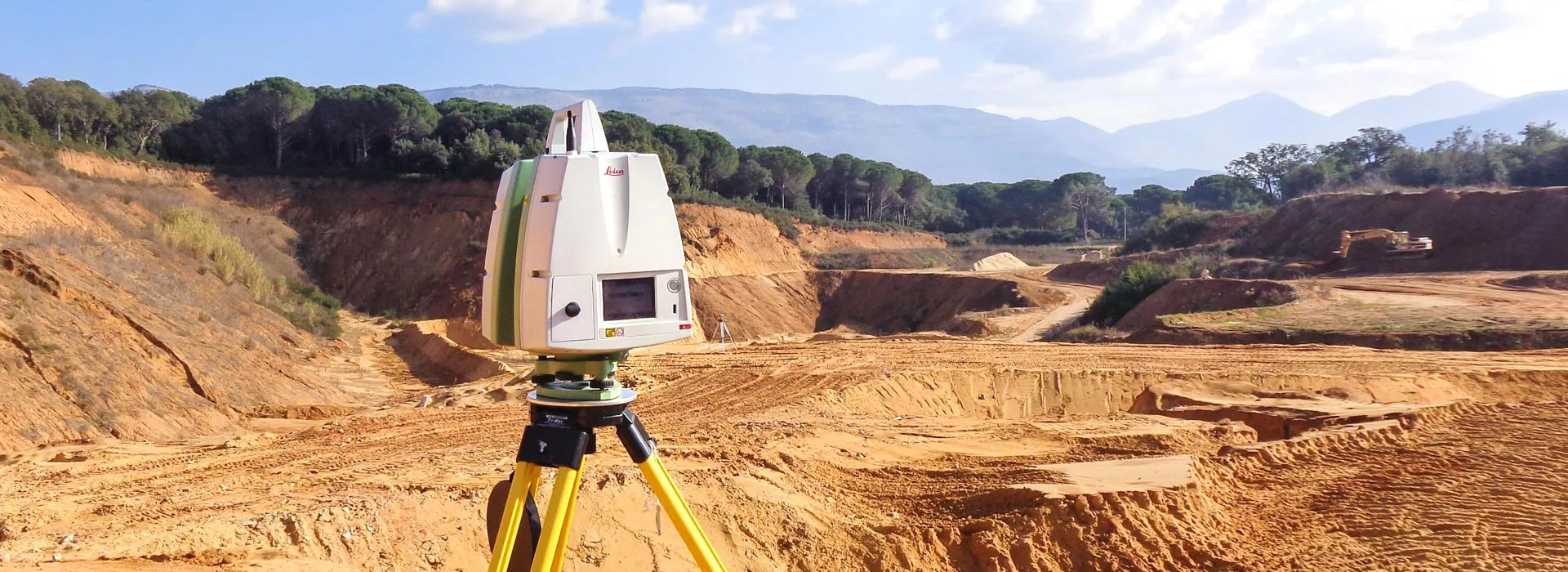
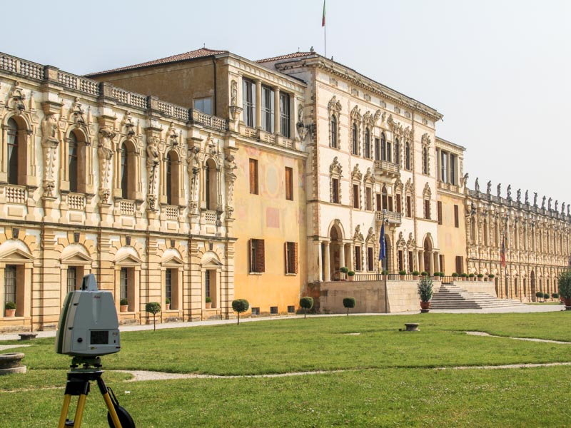
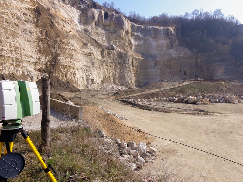
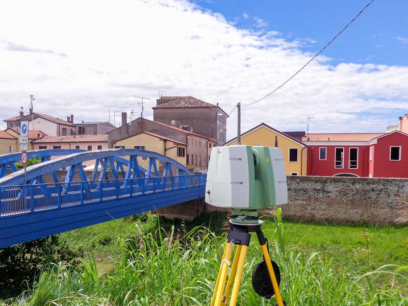
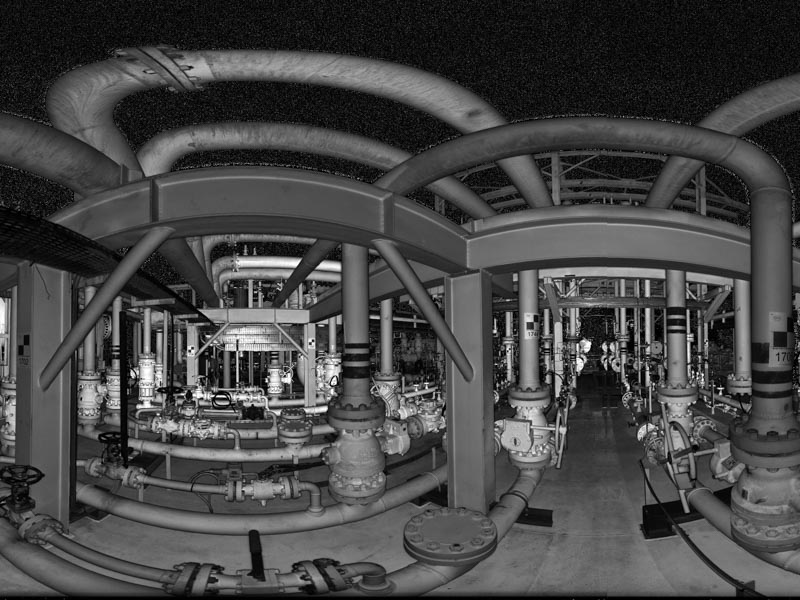
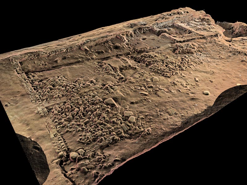
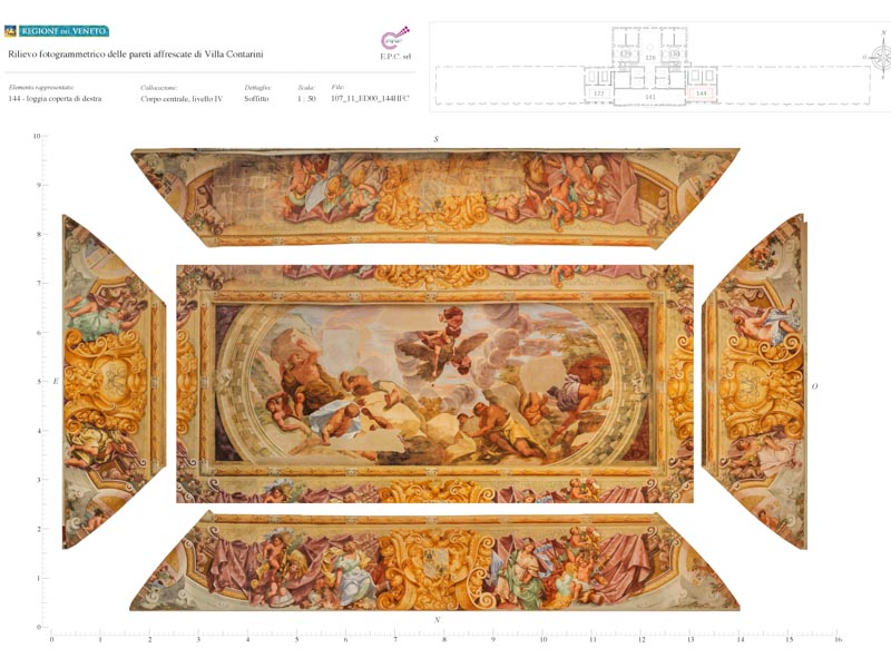
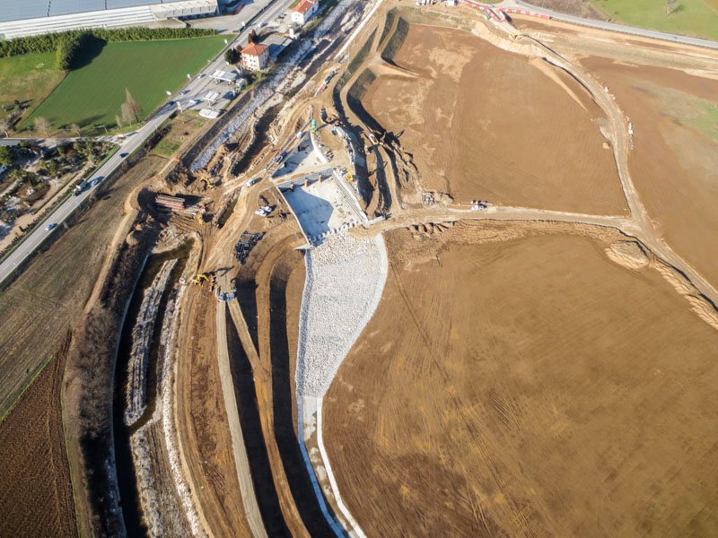
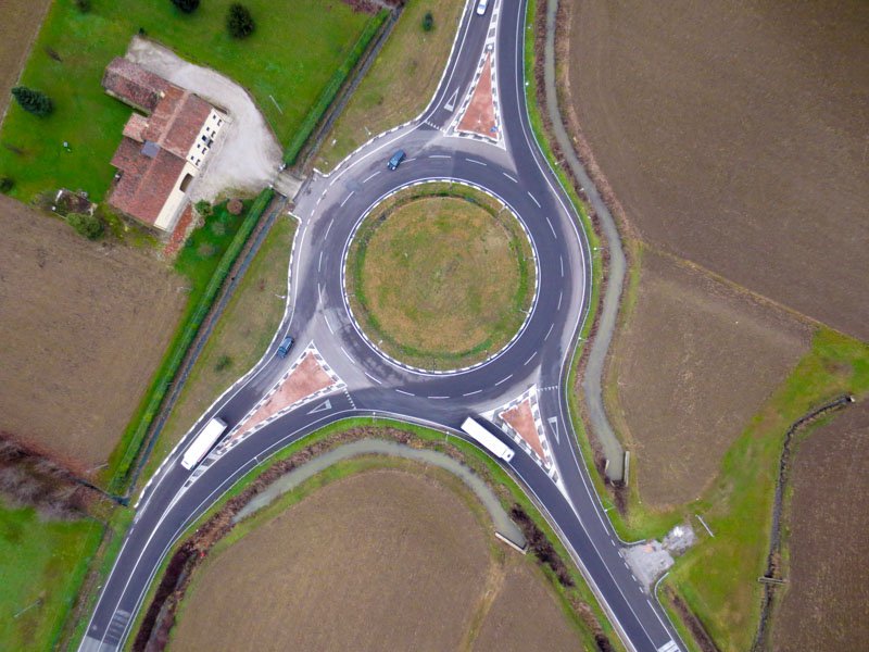
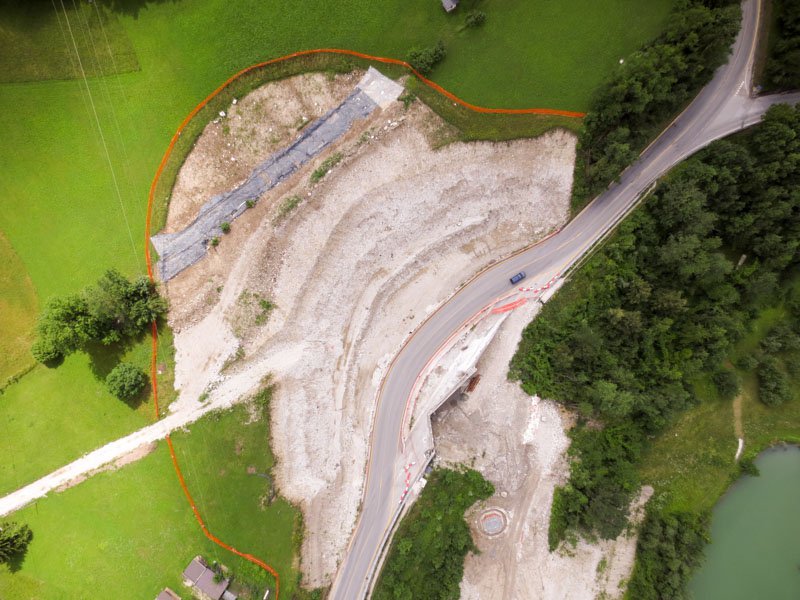
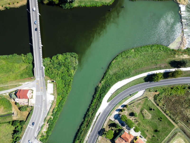
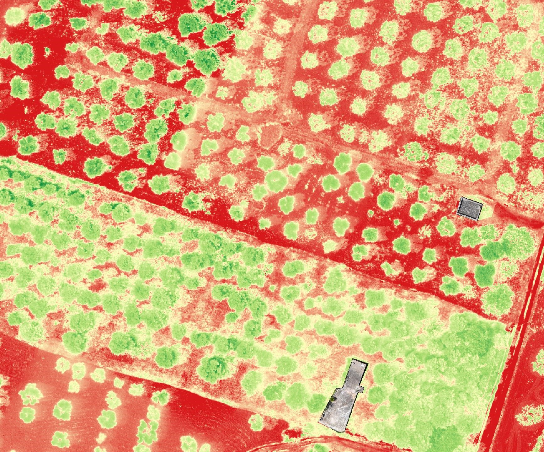
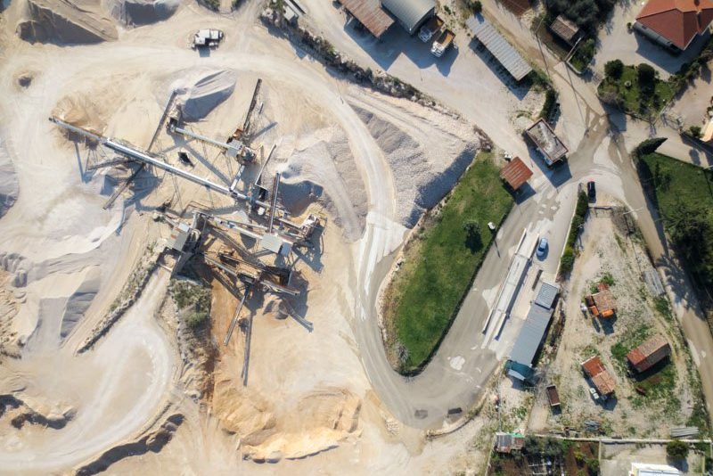
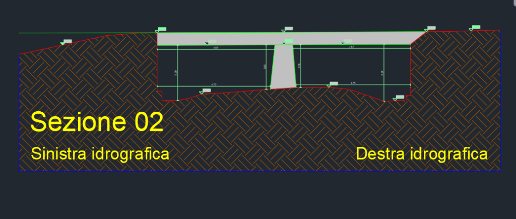
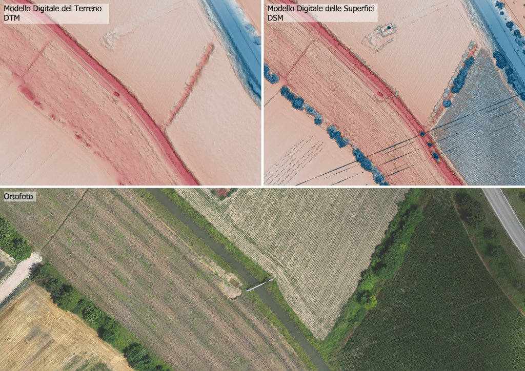
EPC specializes in using modern topographic survey technologies and processing collected data. Our range of instruments allows us to autonomously conduct surveys of objects and surfaces of various sizes, from small architectural details, buildings, and structures to entire land areas, including riverbeds, quarries, landfills, and slopes.
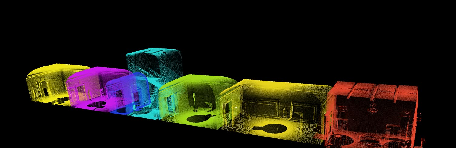
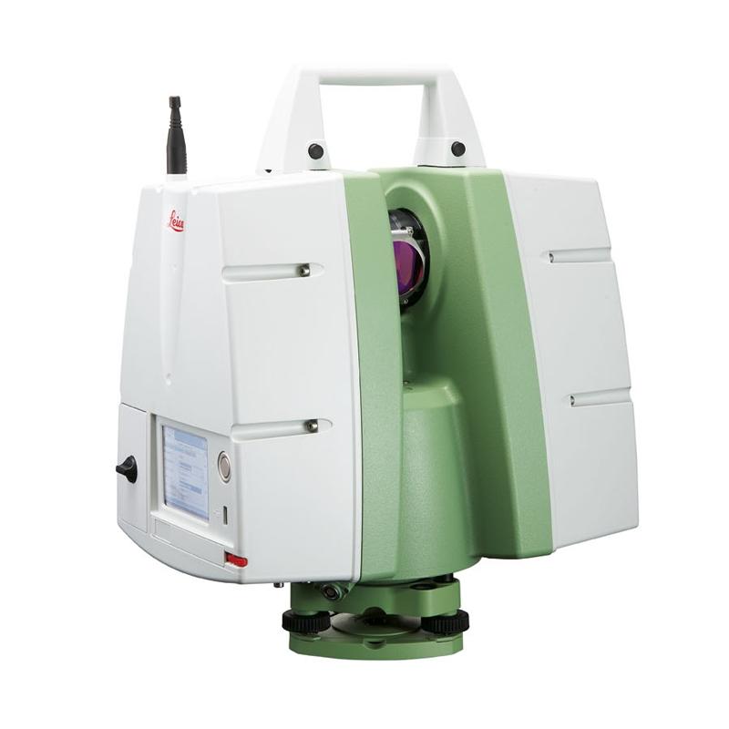
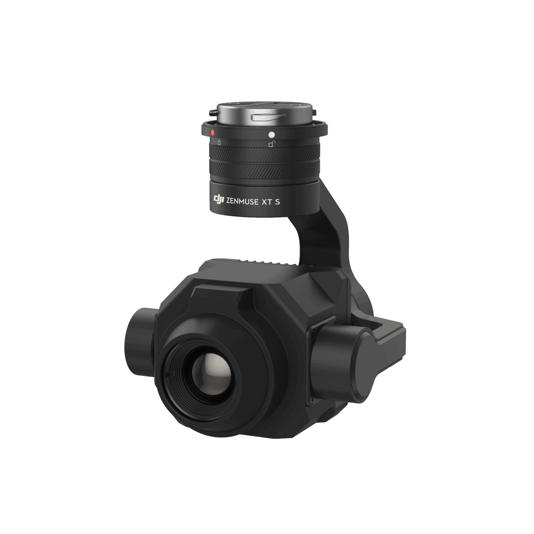
Depending on the context and work objective (size, level of detail, required accuracy), EPC employs targeted survey strategies, effectively using one or more instruments. Over the past few years, EPC has specialized in topographic surveys using terrestrial laser scanners, LiDAR, and terrestrial and aerial photogrammetry techniques.
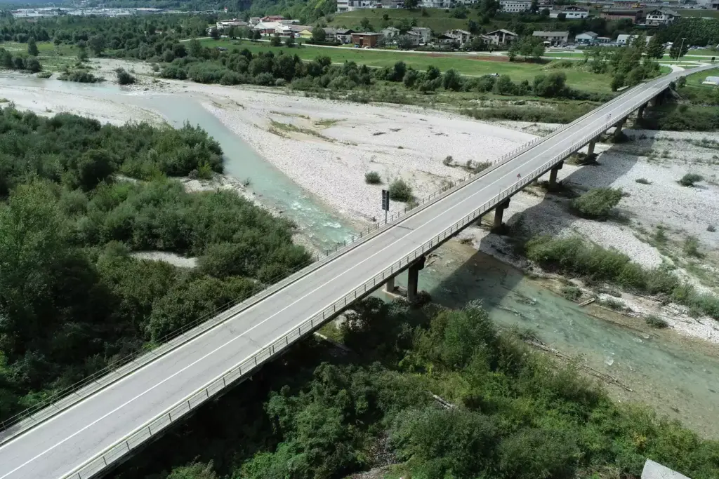
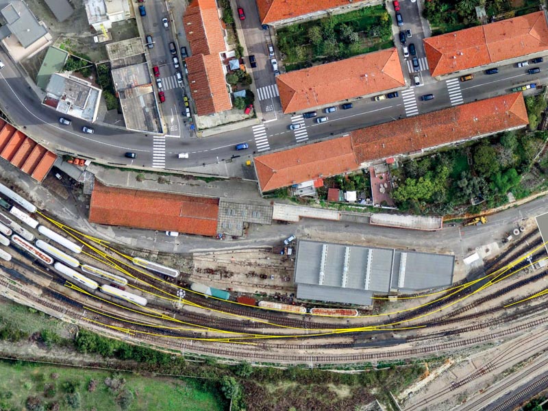
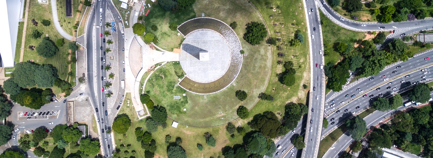
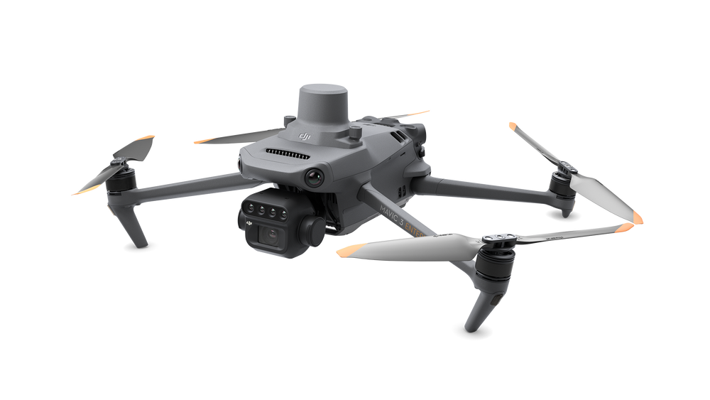
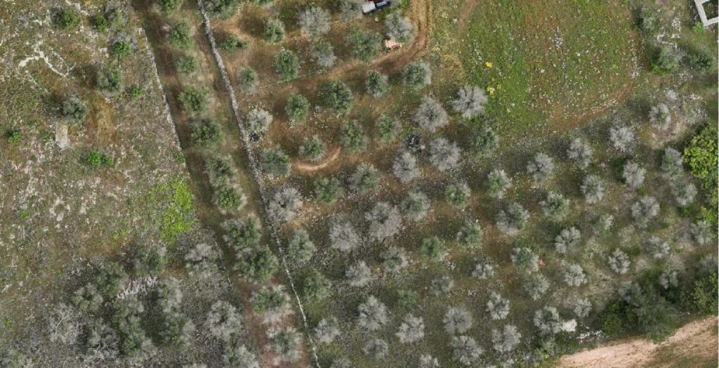
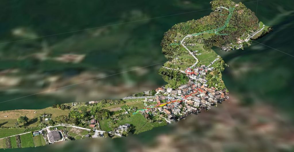
The ability to conduct surveys from above allows us to easily overcome physical obstacles, drastically reducing work times and addressing various environmental contexts. EPC currently owns one of the best vehicles on the market and is recognized among ENAC operators for operating in non-critical scenarios.