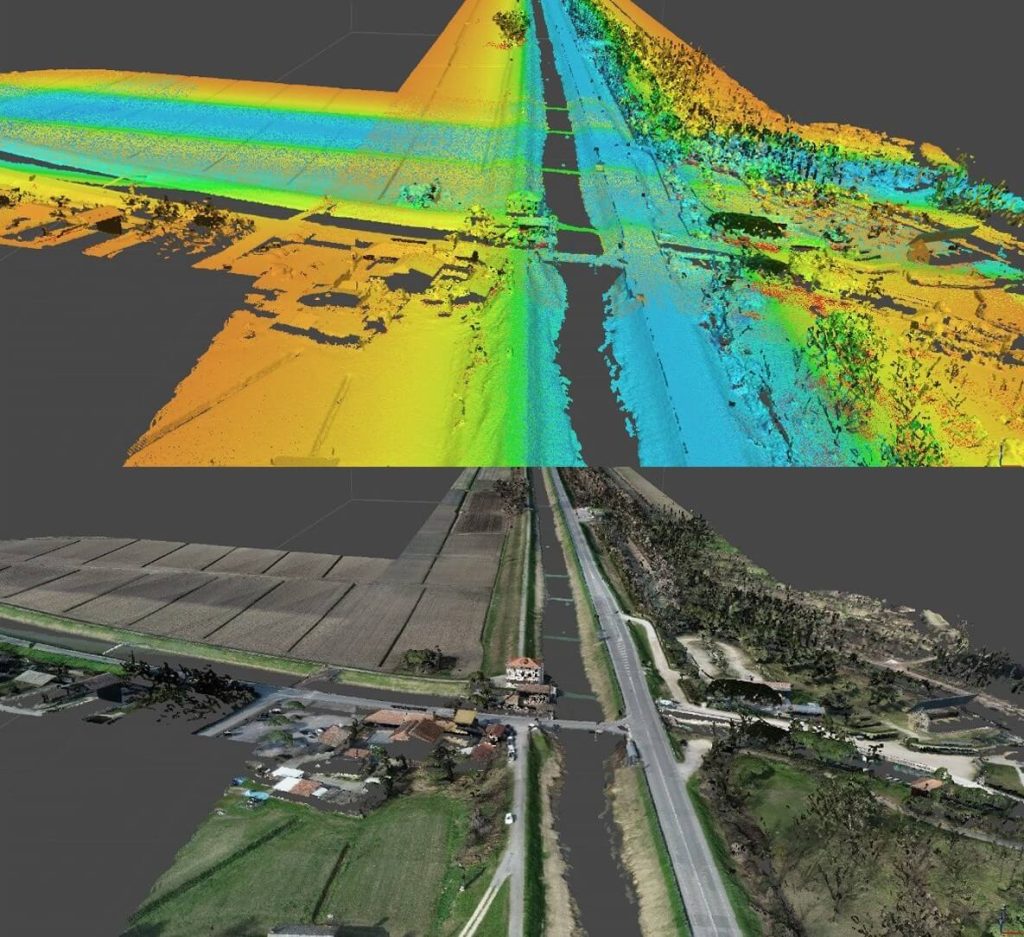
The following documents were delivered to the client: a detailed georeferenced photo plan, a digital surface model (DSM) and a digital terrain model (DTM), a 3D vector rendering of the main elements of interest, as well as the final tables with graphic overlay of the photo plan and vector elements, including toponymy.
Furthermore, celerimetric and laser scanner surveys of bridges and artefacts were provided, together with the 17 bathymetric sections, all in 2D and 3D CAD format.