Any well‑planned project—whether renovation, extension or restoration—is founded on professional surveys supplying all the necessary data.
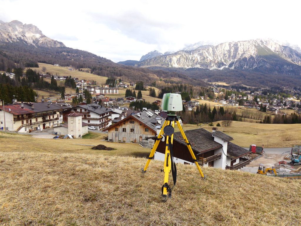
EPC’s qualified team travelled to Cadin di Sopra (BL) to conduct a laser scanning survey of a historic building. The aim was to obtain an exceptionally precise external architectural survey to generate plans, elevations and sections for the final design stage and execution of works.
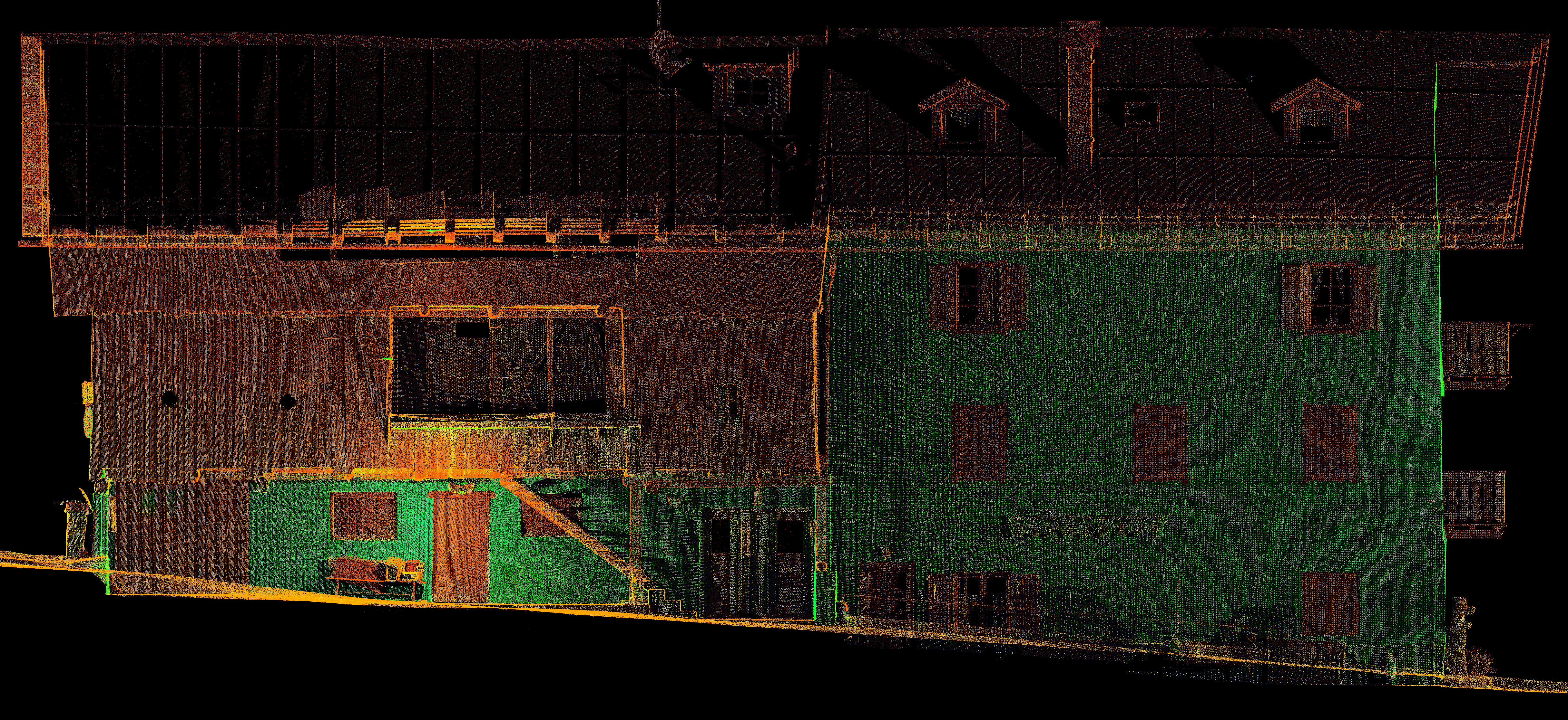
Point cloud - Right elevation
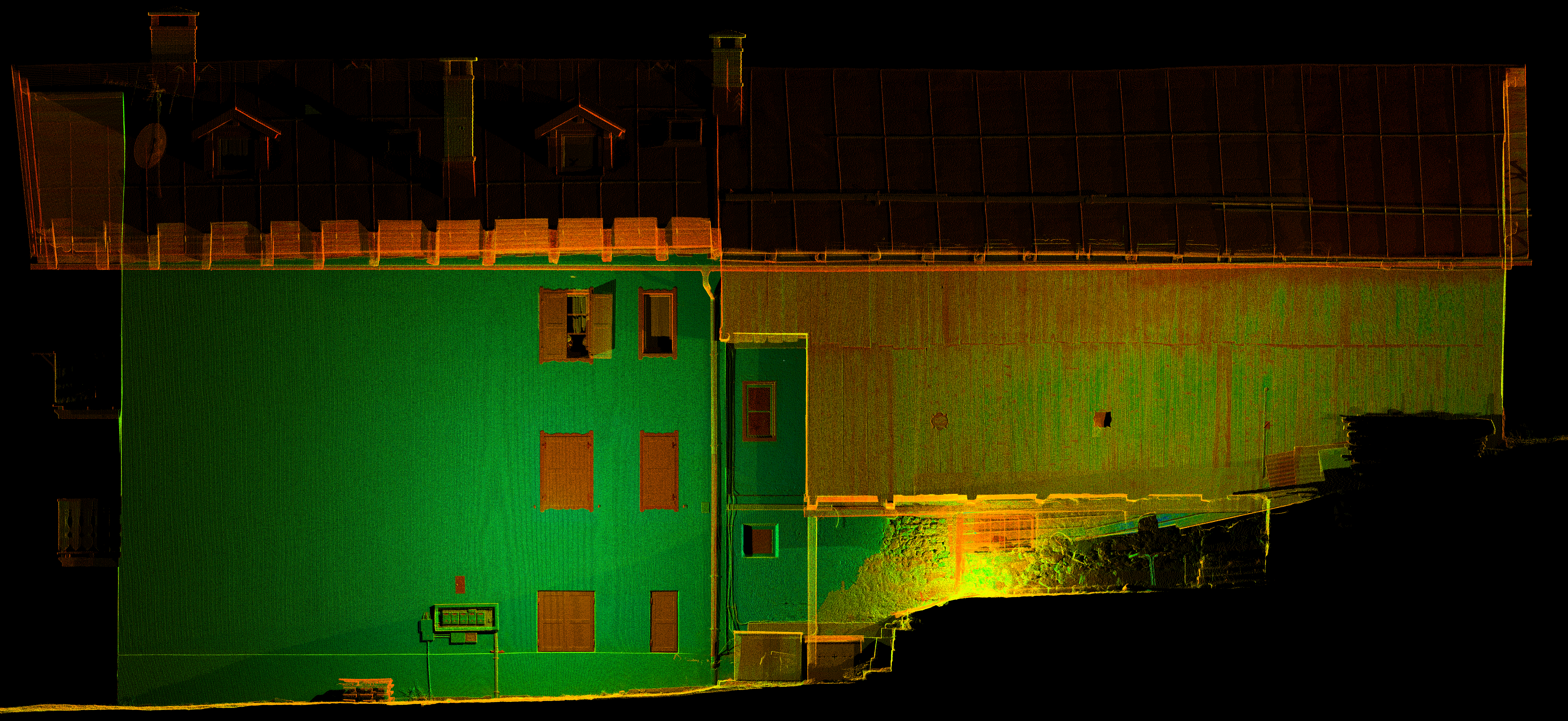
Point cloud - Left elevation
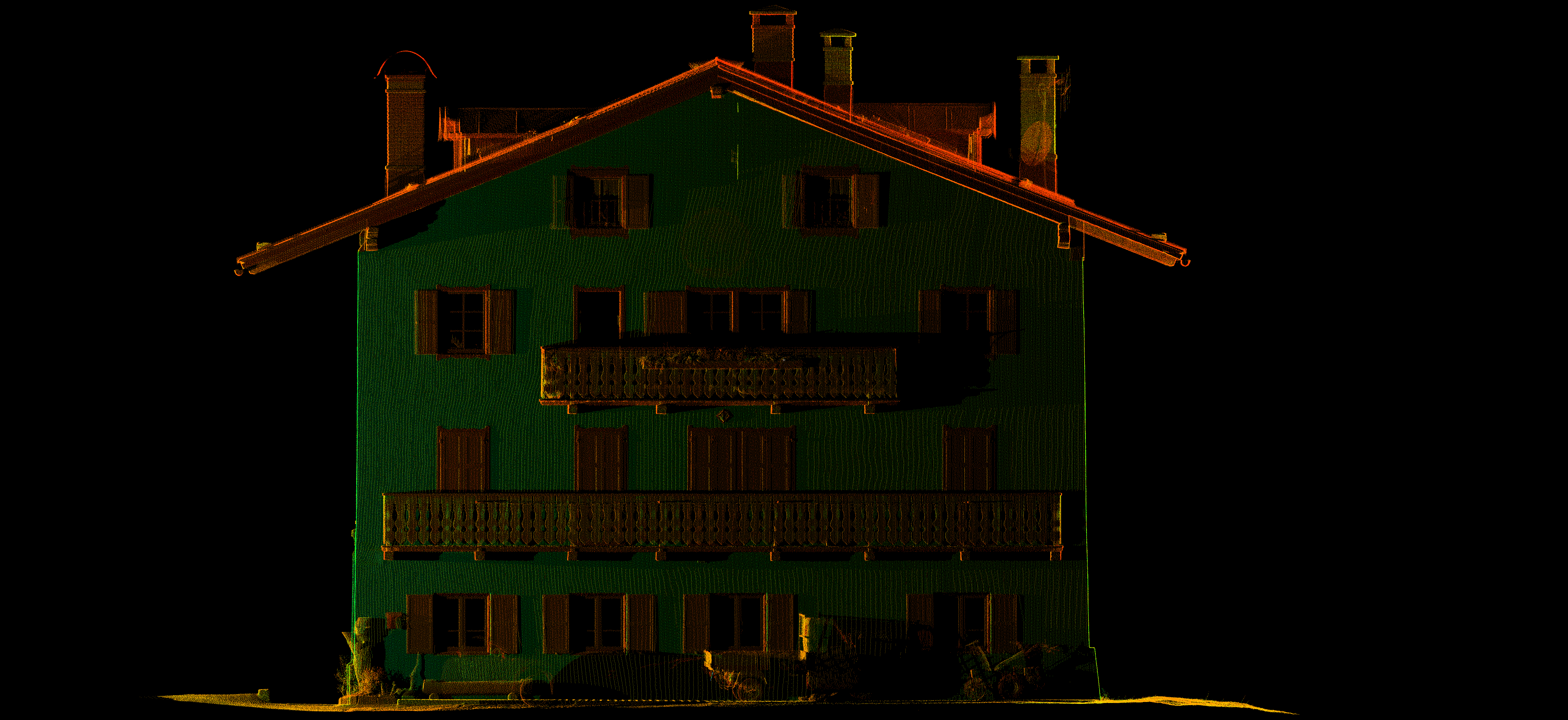
Point cloud - Valley elevation
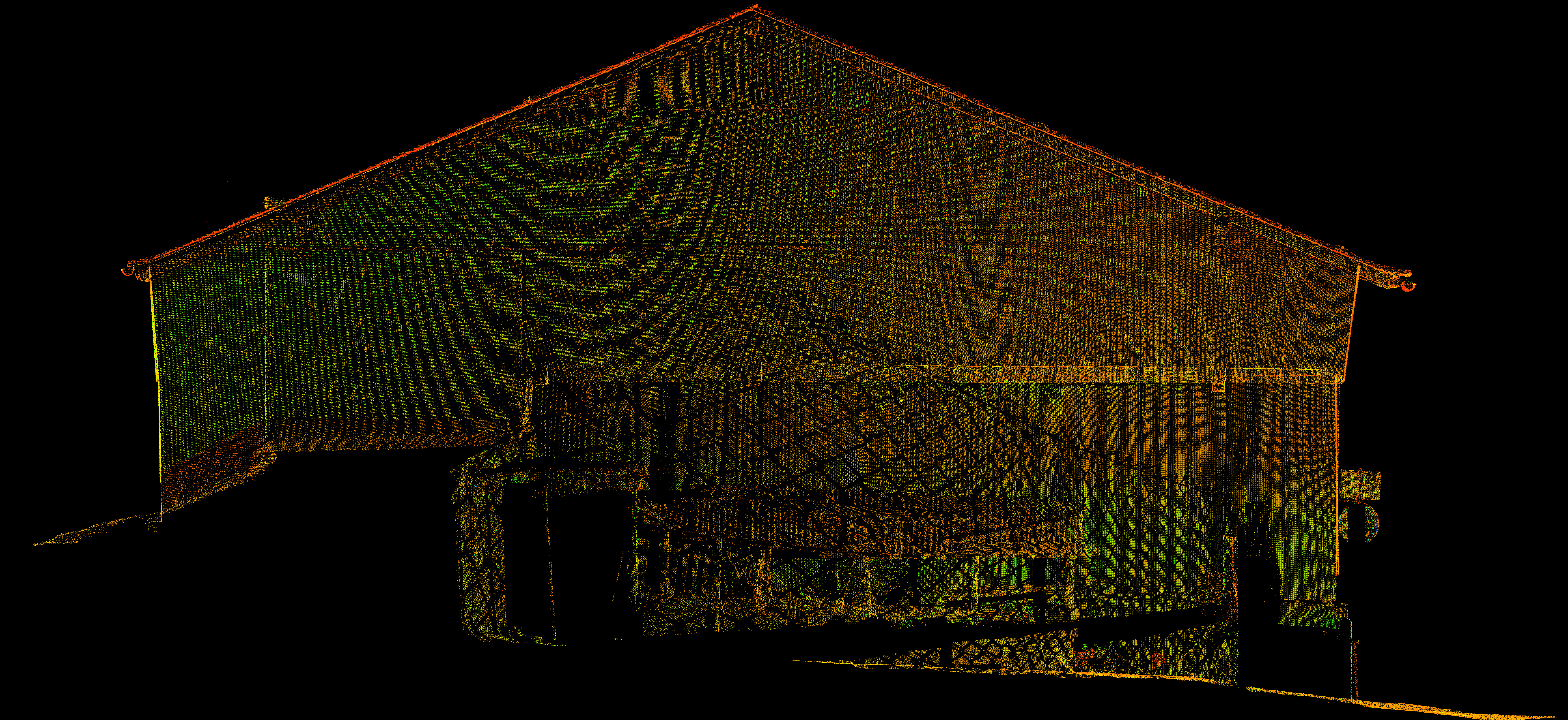
Point cloud - Mountain elevation
Equipment and methodology
We employed the Leica ScanStation C10 laser scanner, ideal for topographical, architectural and engineering applications. This device enabled us to create a robust geometric database subsequently processed using the Cyclone software. From the point cloud, we produced a 1:1 scale digital model of the building, together with plans, elevations, sections and pertinent architectural details organised in vector layers.
Deliverables
From the laser scanner survey at Cadin di Sopra, we generated:
- raw and resampled aligned point clouds of the external façades of the buildings in LAS, TXT or CAD format;
- one vector plan of the main body of the villa in CAD 2D format, at a scale of 1:50 or larger;
- four vectorial elevations of the main body of the villa, in CAD 2D format, at a scale of 1:50 (or larger);
- orthophotos of the point cloud, in TIF, TIF and CAD 2D format, at a scale of 1:50 (or larger).
- two vector longitudinal sections of the building, in CAD 2D format, at a scale of 1:50 or larger;
- two vector cross-sections of the building in 2D CAD format, scale 1:50 (or larger).
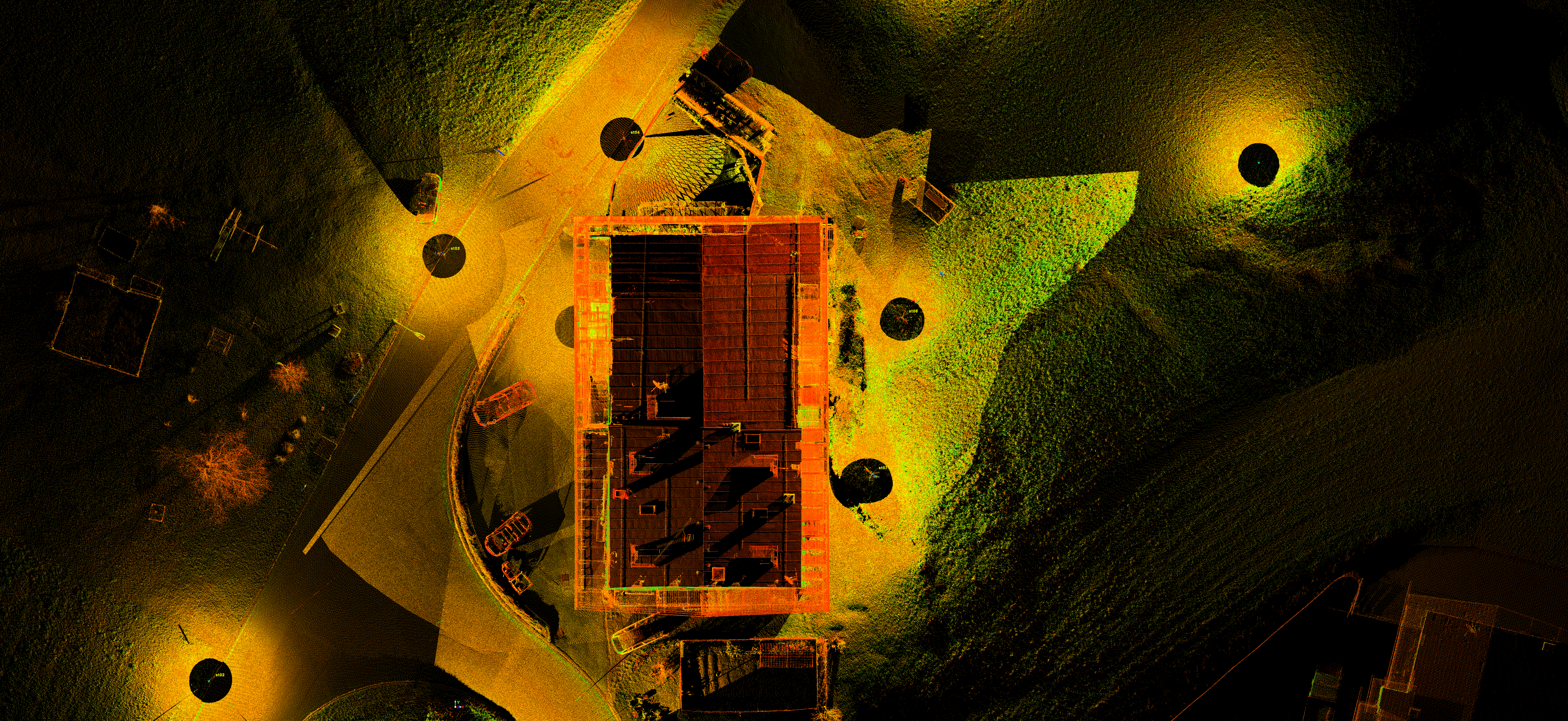
Point cloud - Top view

