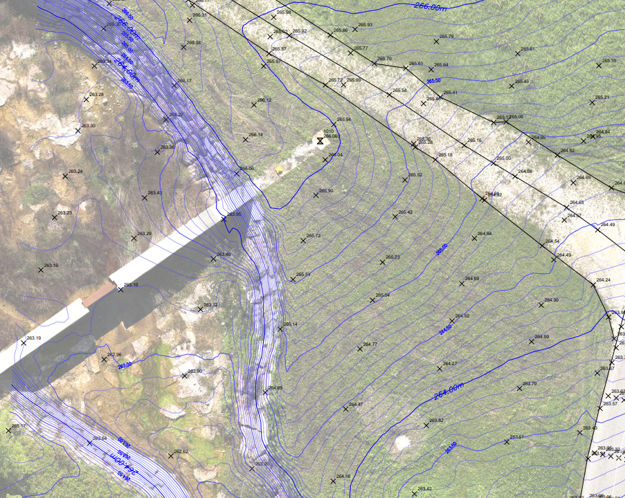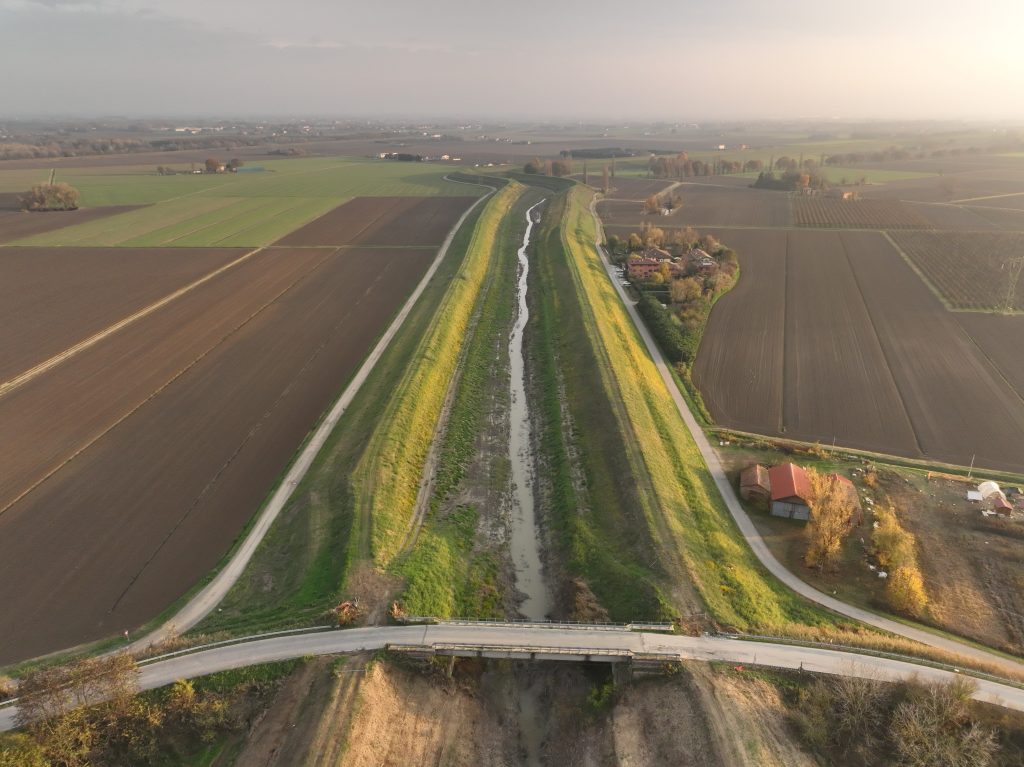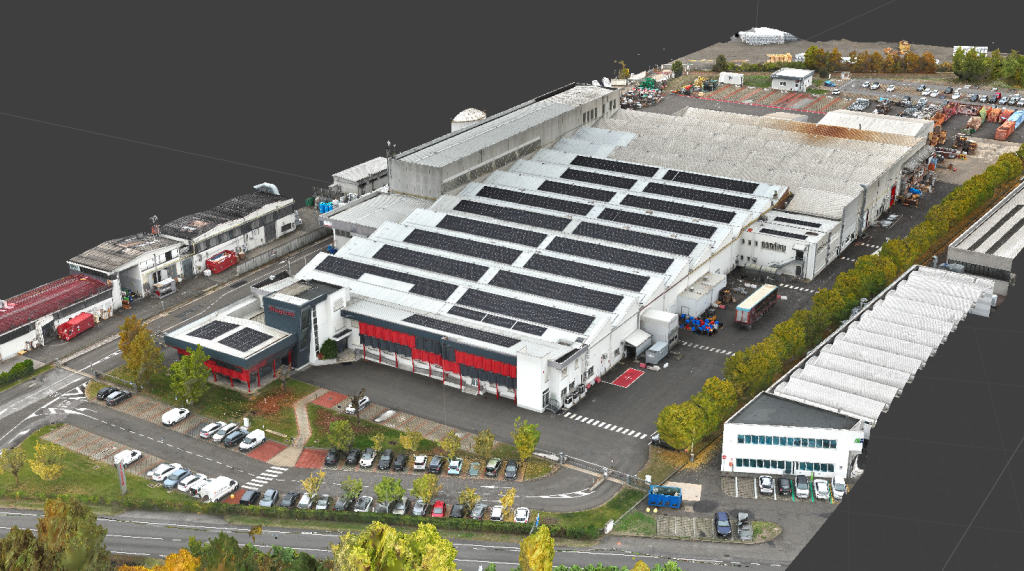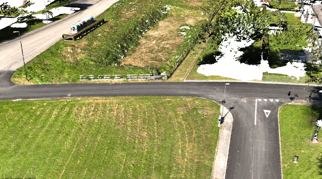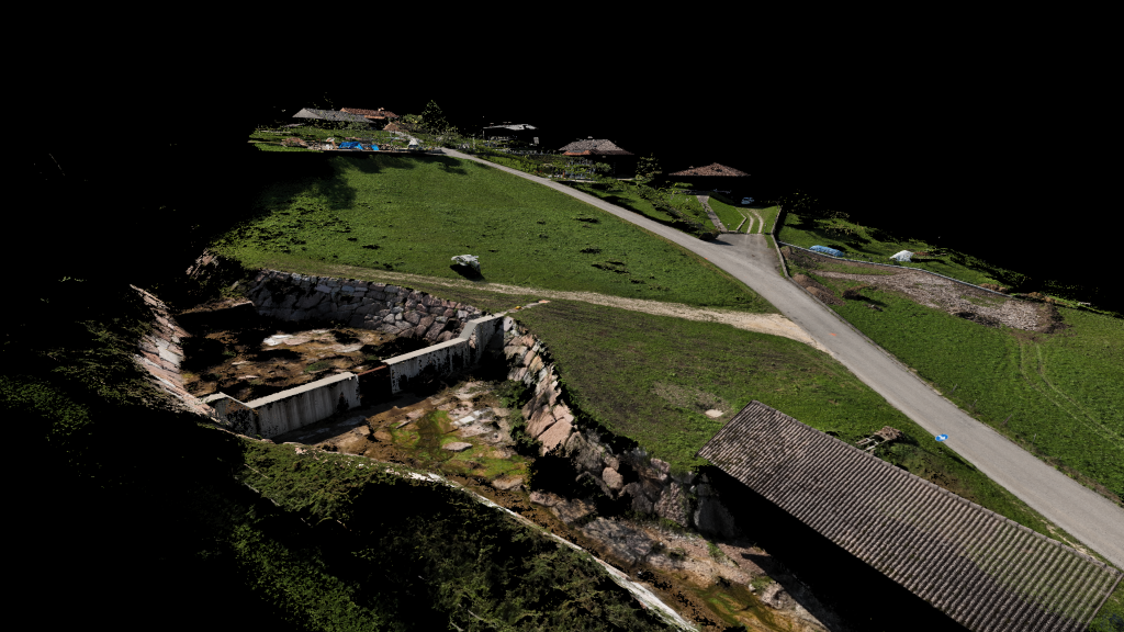
The work was carried out along a new access road in the municipality of Lentiai, near Via Antonio Solagna. The DJI ZENMUSE L1 instrumentation was used for the survey. GPS instrumentation was used for the ground celerimetric survey and for the materialization of target points.
The objectives of the service were the creation of a topographic plan, a detailed section, a digital terrain model, and the production of orthophotos updated with UAS instrumentation.