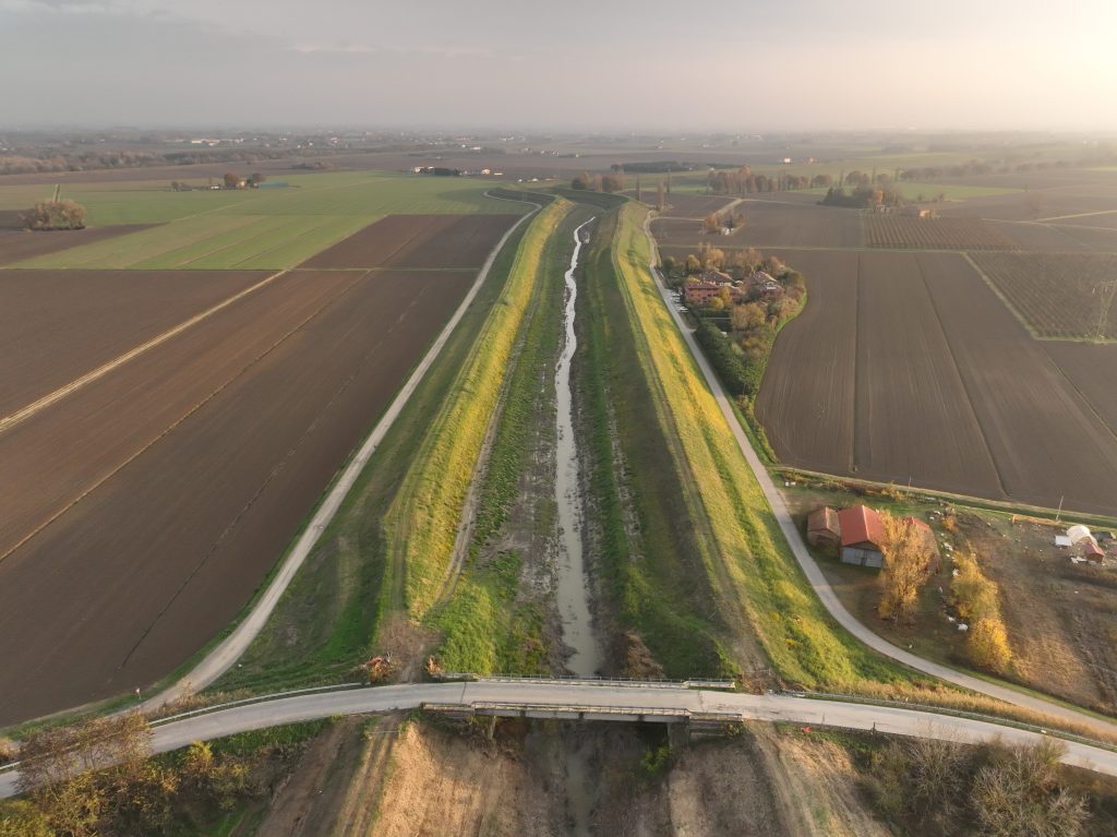
The work was carried out along a stretch of the Landrisio riverbed, which flows next to the Luxottica Sedico 2 plant, in the municipality of Sedico (BL).
To ground the target points, GPS technology was used in RTK mode connected to the HxGN SmartNet network via GPRS signal, setting the maximum RTK error limit to 5 cm.
The survey involved the return of the following products:
- Unfiltered point cloud of the entire area surveyed with Laser Scanner technology in ASC format or similar.
- Digital Terrain Model (DTM) of the area surveyed with Laser Scanner Technology.
- High-resolution orotophotoplans of the surveyed locations.
- Monograph of benchmarks.
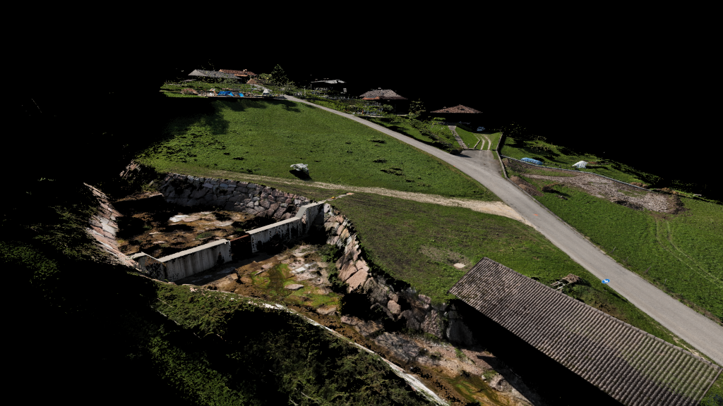
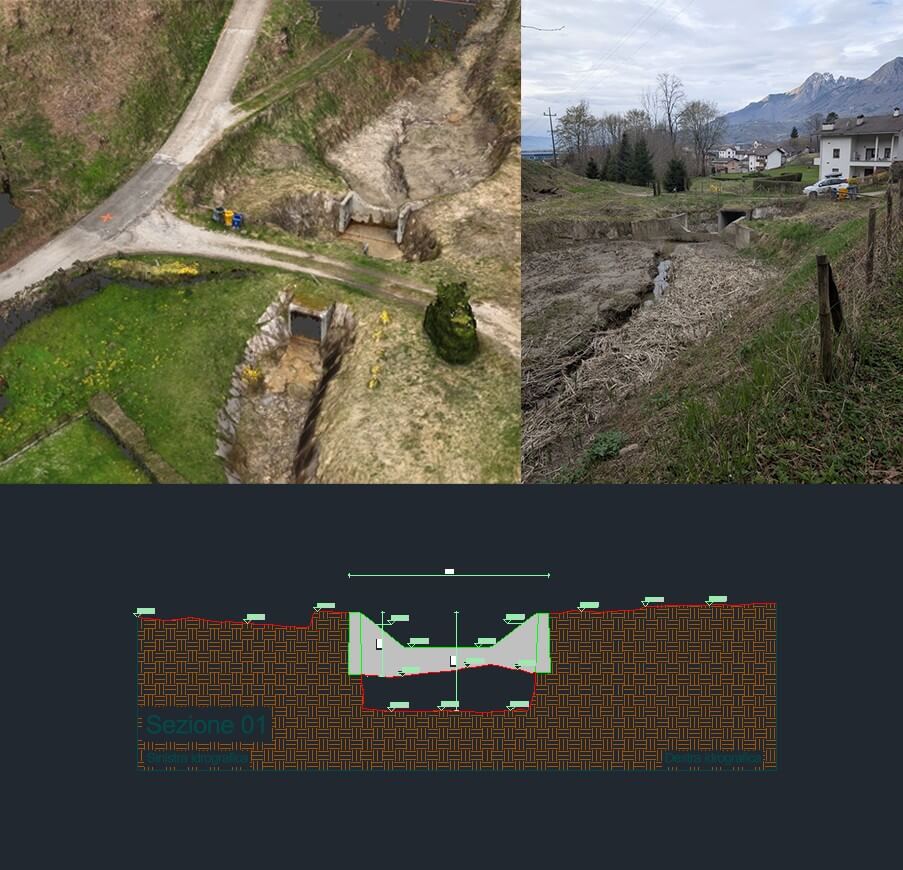
A general plan of the area, including the sections of the bridges, the digitalization of the terrain and the artifacts, with the indication of the main altimetric measurements. All the material was provided in DWG format, in order to accurately reconstruct the hydraulic light.