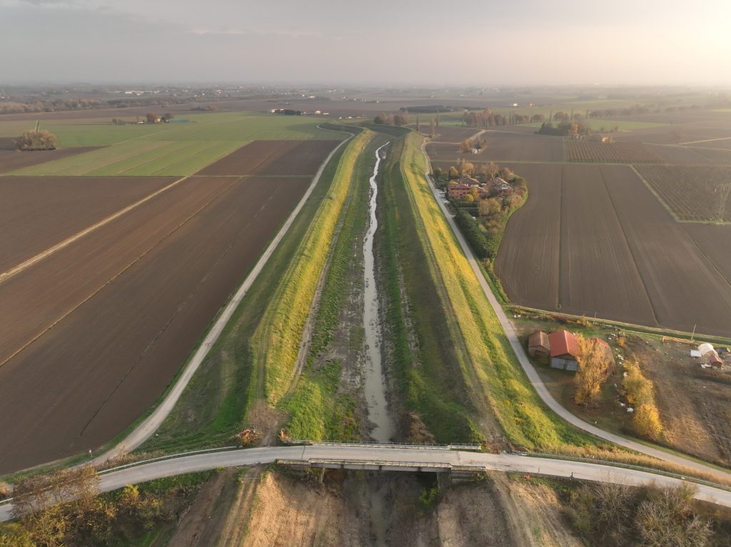
The work was carried out in Paludi, in the municipality of Ponte delle Alpi (Belluno). The survey used the DJI ZENMUSE L1 instrumentation: DJI’s first LiDAR for the Matrice 300 RTK. GPS instrumentation was used to integrate the ground points.
The objectives of the service were the creation of a digital terrain model, the generation of orthophotos, and the acquisition of the existing pipeline route.