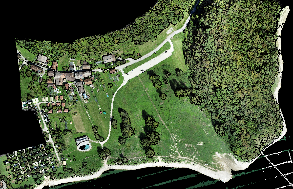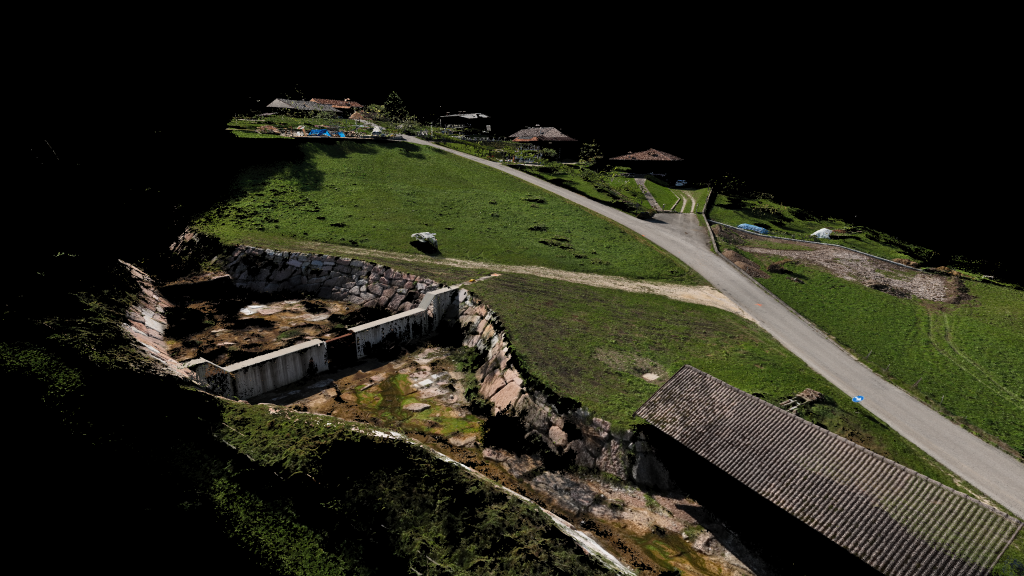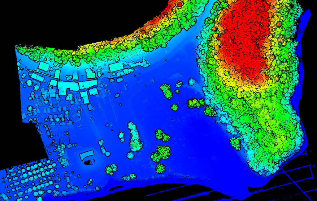
The work was carried out in the municipality of Arsiè (Belluno) in an area adjacent to Lake Corlo. The survey used the DJI ZENMUSE L1 instrumentation: DJI’s first LiDAR for the Matrice 300RTK. GPS instrumentation was used to survey ground points.
The objectives of the service were to create a digital terrain model, provide an updated orthophoto map, and acquire several ground points.