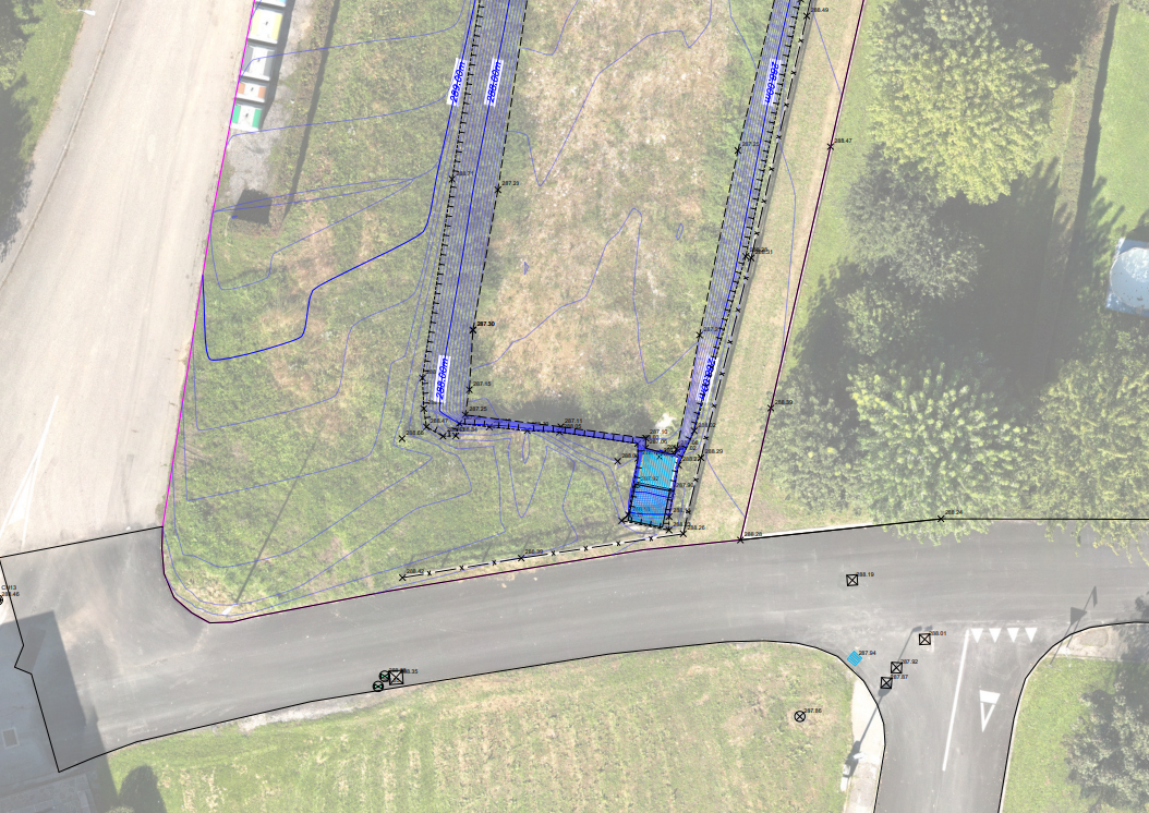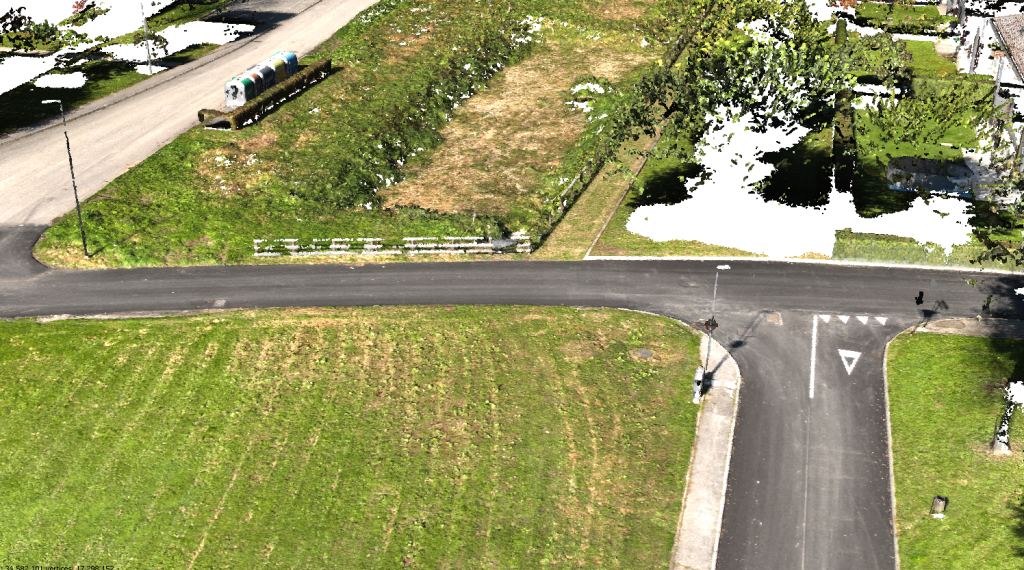
The work was carried out along an urban stretch extending along the Farra di Feltre development. The DJI ZENMUSE L1 instrumentation was used for the survey. GPS instrumentation was used for the ground celerimetric survey and the materialization of target points.
The objectives of the service were the creation of a topographic plan, a digital terrain model, the production of updated orthophotos with UAS instrumentation, and the verification and rotation of the previous survey.