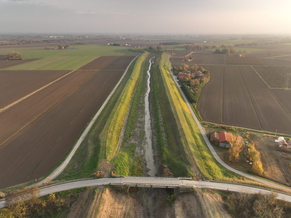
The survey was conducted between the municipalities of Roncade and Quarto D’Altino in a suburban area covering approximately 600 hectares.
The purpose of the service is to provide LiDAR and photogrammetric topographic data, acquired via helicopter flight, useful for subsequent hydraulic modeling.
Data acquisition was achieved using a system consisting of a laser scanner, a digital metric camera, a GPR positioning system, and an inertial navigation platform.