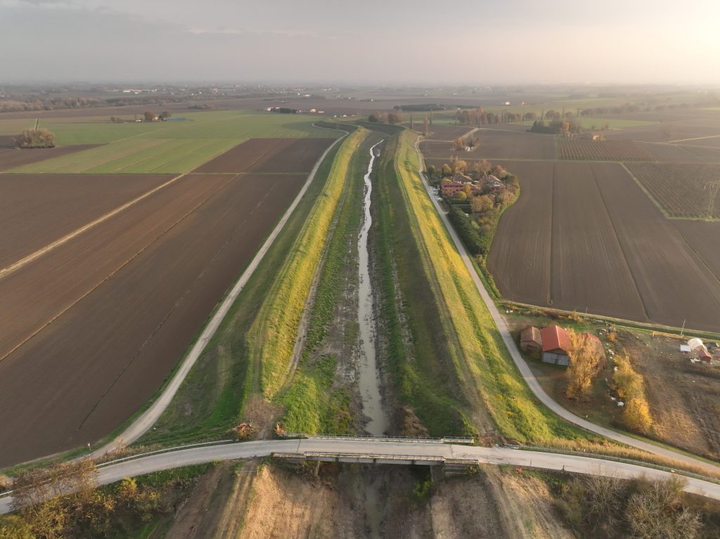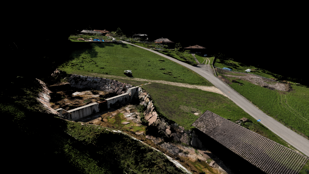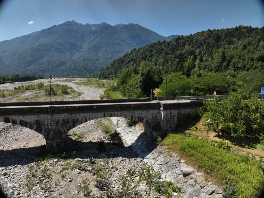
Topographic and airborne laser scanner (LIDAR) surveys were carried out of a bridge and a section of the riverbed of the But stream in Chiassis – Tolmezzo (Ud).
The DJI ZENMUSE L1 instrumentation will be used for the riverbed survey: DJI’s first LiDAR for the Matrice 300 RTK. The new payload integrates a Livox Lidar module, a high-precision IMU and a 20mp CMOS camera.
For the joint survey of the bridge, aerial photogrammetry was combined with an RTK GPS survey.
Upon completion of the work, the following deliverables were submitted:
- Digital Terrain Model (DTM) of the surveyed area with Lidar Technology;
- High resolution Orotophotoplans of the surveyed locations. TIFF or compatible file format;
- Simplified topographic restitution of the bridge;
- Topographic monograph.