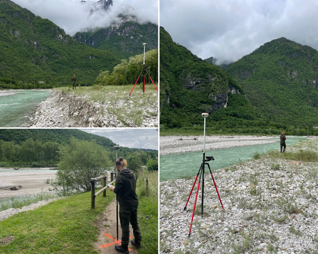
The work was carried out along a stretch of the Cordevole torrent bed located next to the regional road 203 Agordo in the Peron area, municipality of Sedico (Bl).
To ground the target points, GPS technology was used in RTK mode connected to the ITALPOS network via GPRS signal, setting the maximum RTK error limit to 5 cm (both planimetric and in altitude).
The survey involved the return of the following products:
• Unfiltered point cloud of the entire area surveyed with Laser Scanner technology in ASC format or similar.
• Digital Terrain Model (DTM) of the area surveyed with Laser Scanner Technology.
• High-resolution orotophotoplans of the surveyed places. TIFF or compatible file format.
• Analysis and Georeferencing of the survey based on DTM
• Monograph of cornerstones.