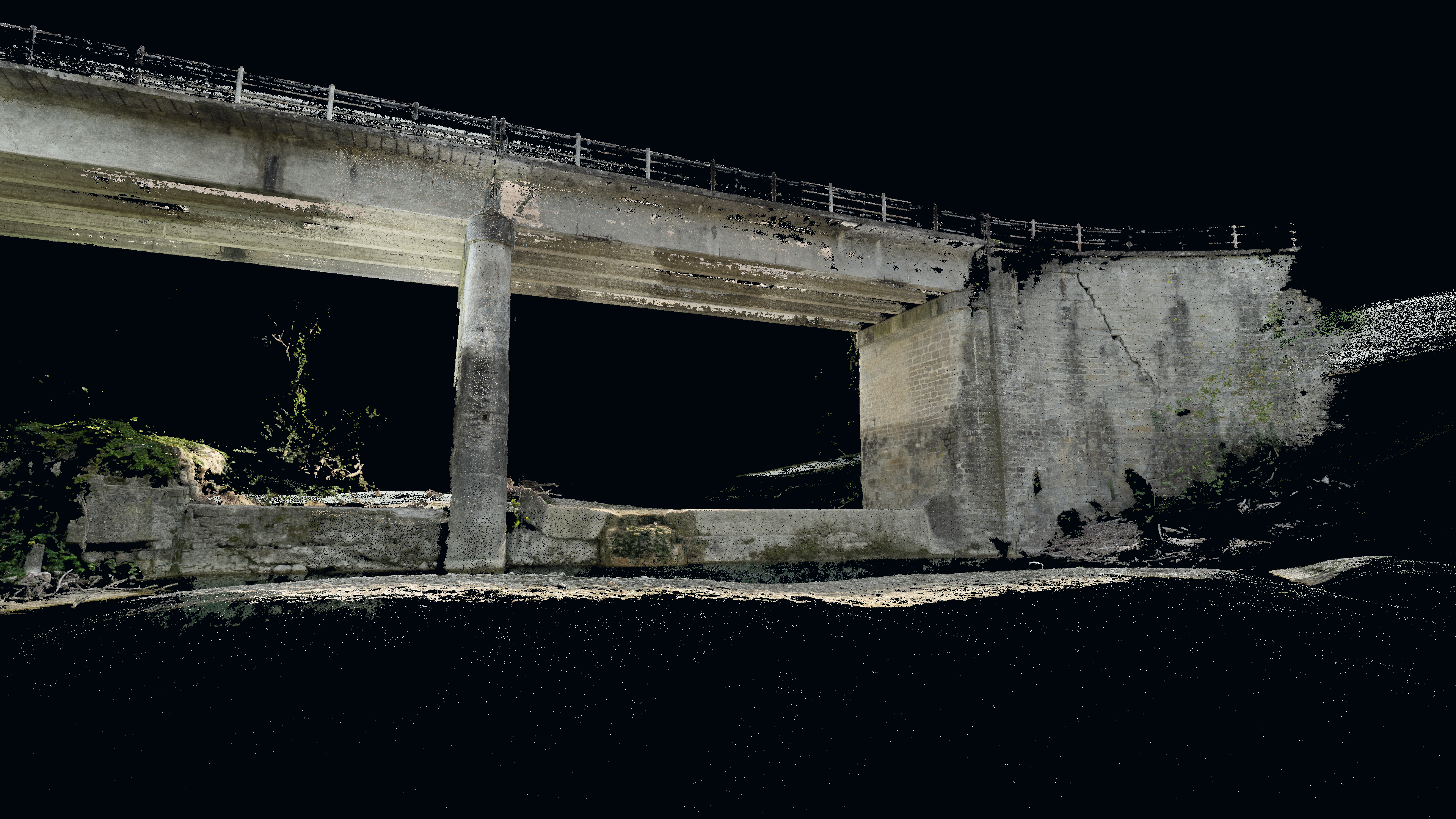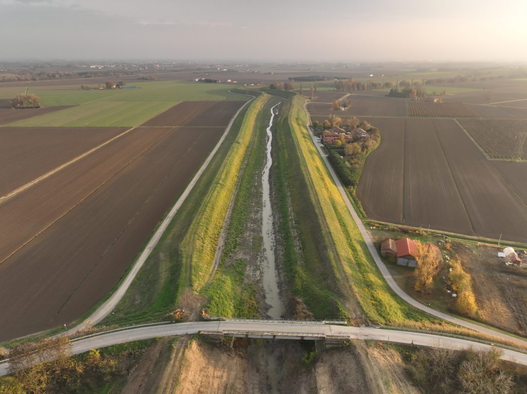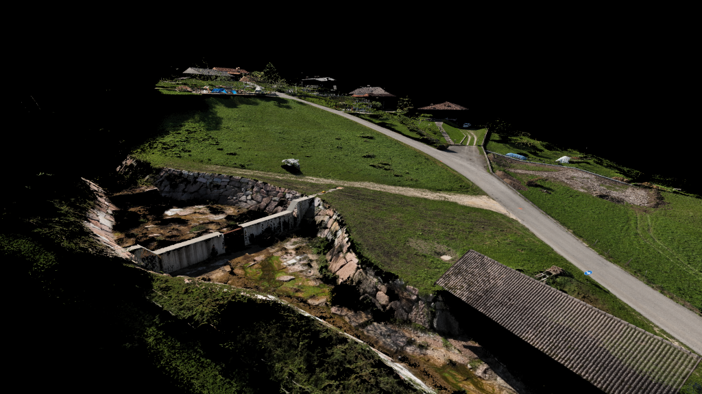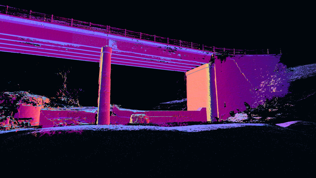
The work was carried out along the riverbed and its bridge in the Sillaro Valley in the province of Bologna. The DJI ZENMUSE L1 instrumentation was used to survey the riverbed and the associated hydraulic structures using precision photogrammetry. GPS technology will be used along urban roads and for some other linear areas related to riverbank defense structures.
The objectives of the service were to create a digital terrain model, provide an updated orthophoto, and provide detailed representations of the structures.