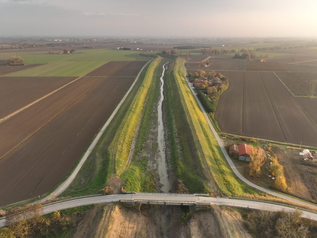
The work was carried out along a stretch of approximately 3,000 meters of the Samoggia stream bed, covering a total area of approximately 150 hectares, in the municipality of San Giovanni Persiceto (BO).
The objectives of the service are:
- Creation of a digital terrain model of the surveyed areas;
- Production of an updated orthophoto map of the sites.
- Schematic topographical rendering of a bailey bridge over the Samoggia stream.
- Acquisition and rendering of 10 bathymetric sections of the Samoggia stream.