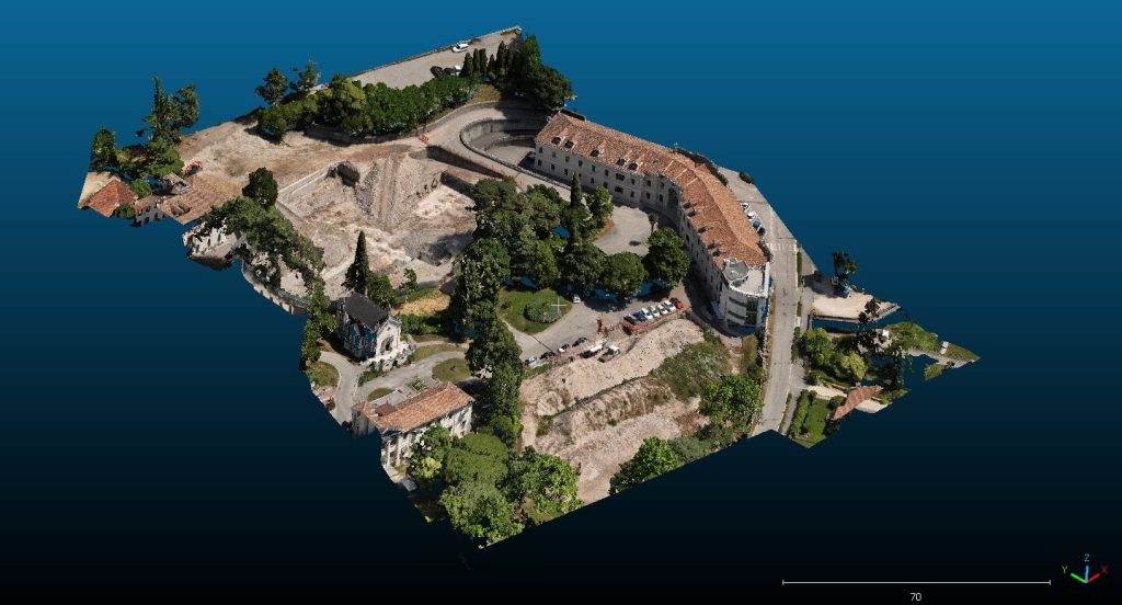
The work was carried out within the area recently demolished relating to the San Gregorio hospital in the municipality of Valdobbiadene (Treviso).
For the survey in question, aerial photogrammetry was combined with a UAV device (DJI Mavic) with pixels up to 3 cm. Target points were placed on the ground with GPS equipment in RTK mode connected to the ITALPOS network via GPRS signal.
At the end of the work, the following documents were transmitted:
- Digital Terrain Model (DTM) of the area surveyed with LiDar Technology;
- Low-resolution orthophotos of the places;
- Topographic restitution with the main morphologies of the places;
- Monograph of cornerstones.