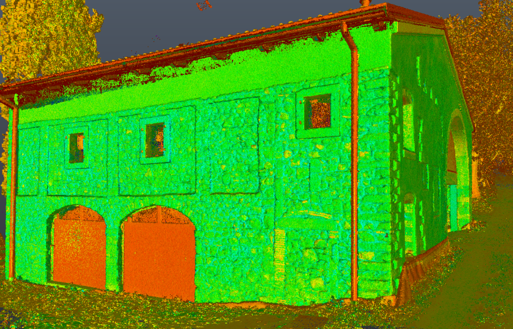
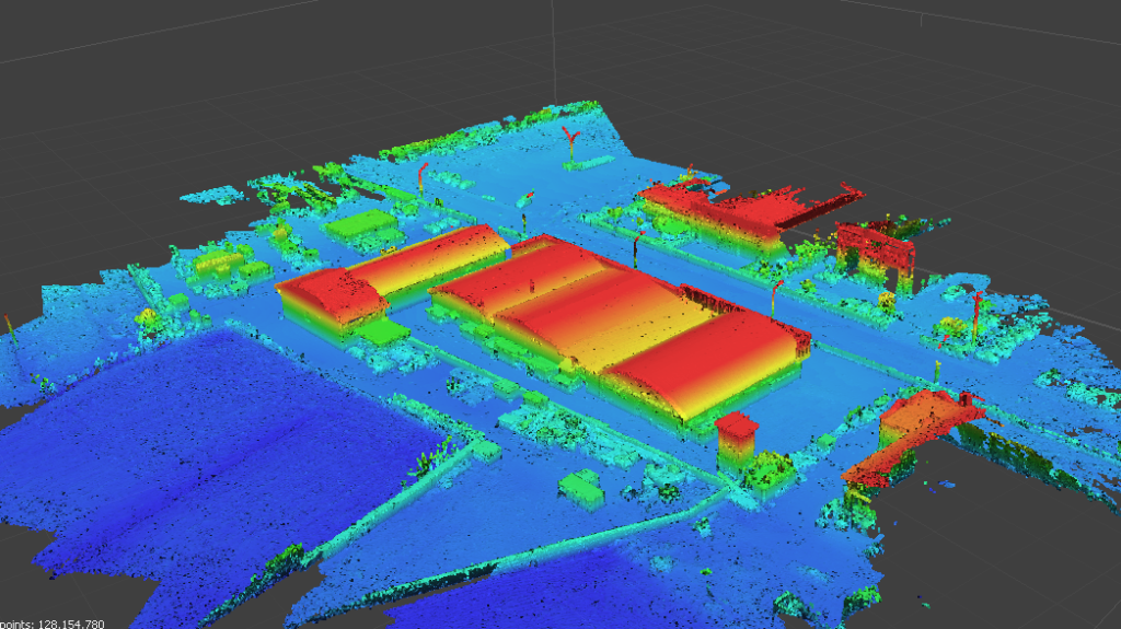
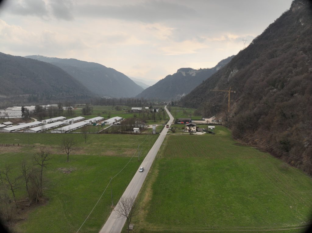
The survey was conducted in the municipality of San Vito di Cadore for a hydraulic intake structure, covering a total area of approximately 7.5 hectares.
The objective of the service was to acquire topographic data of the intake structure, create a digital model of the relevant terrain, and provide an updated orthophoto of the site.
The DJI ZENMUSE L1 and MAVIC 3 Multispectral instruments were used for the survey.
The survey will also provide useful data for the subsequent final and executive design.