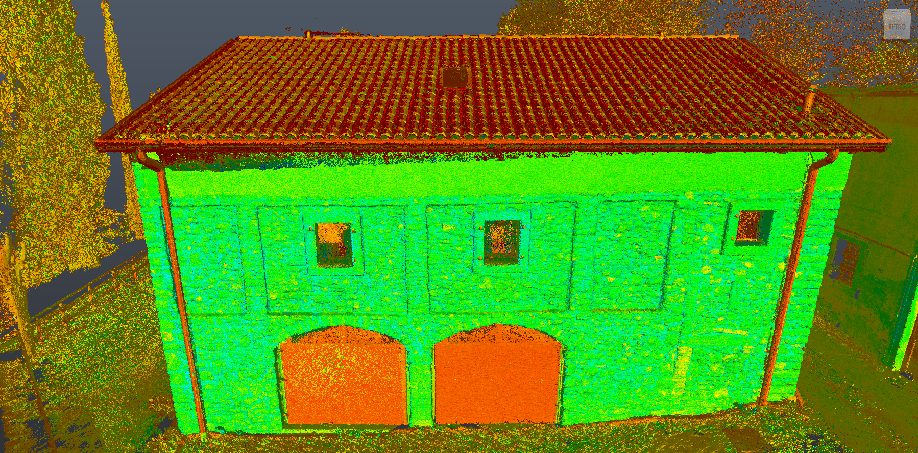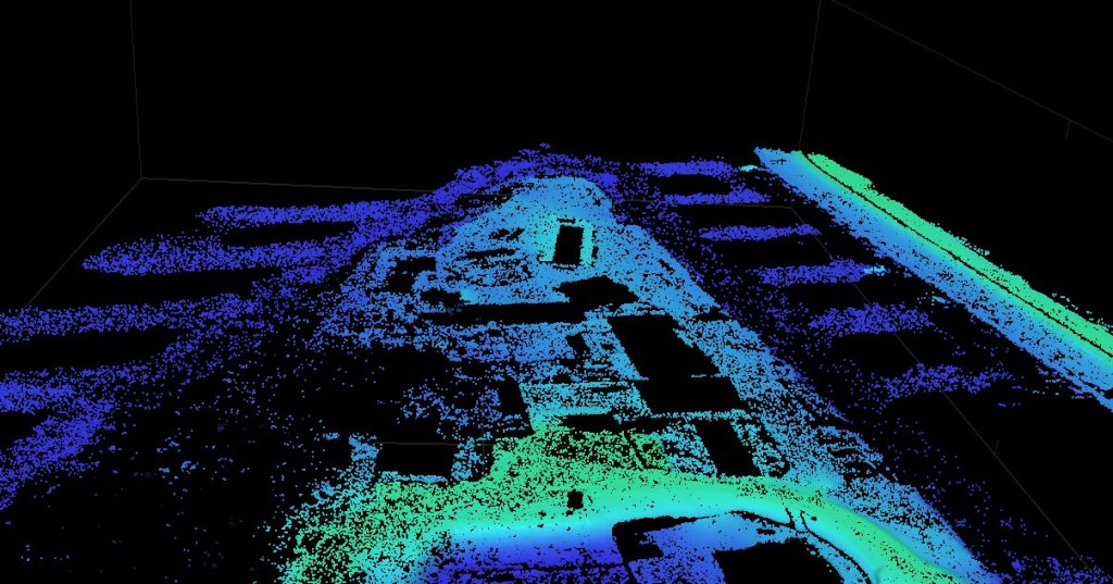
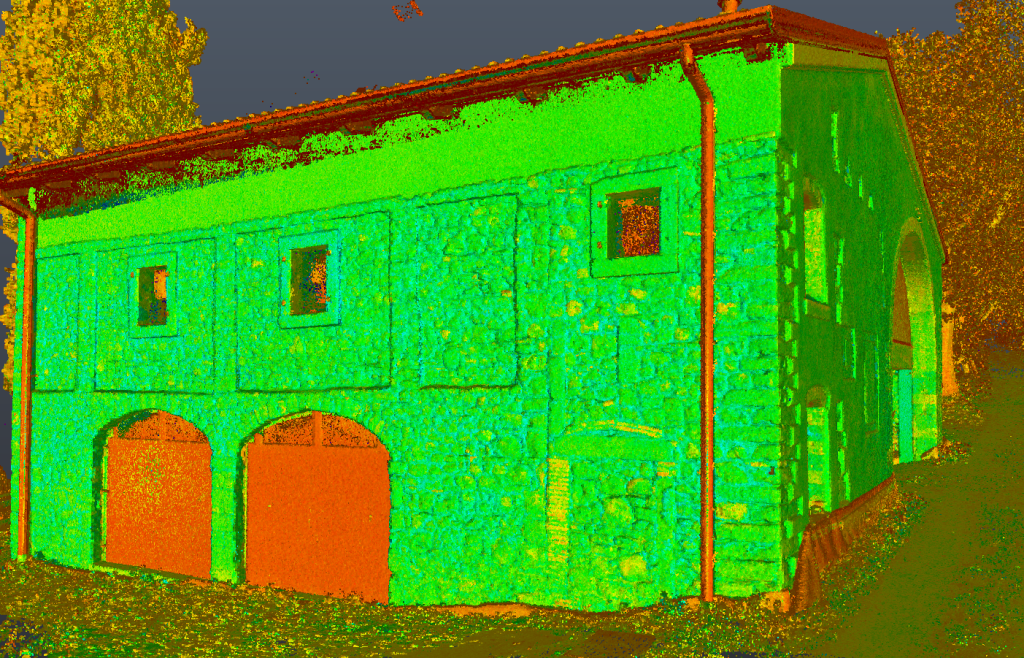
Topographic, photogrammetric and laser scanning surveys were performed on a residential building located in Marcellise – San Martino Buonalbergo. The site was surveyed for subsequent urban planning inspections.
The objective of the service was to create a high-resolution digital model of the surfaces and produce an orthophoto of the roof.
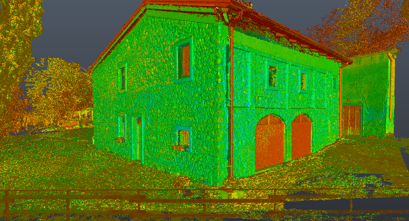
The following deliverables were planned:
- External point cloud, excluding roofs;
- Point cloud of the various interior spaces;
- Orthophotoplan of the roofs with pixels up to 3 cm.