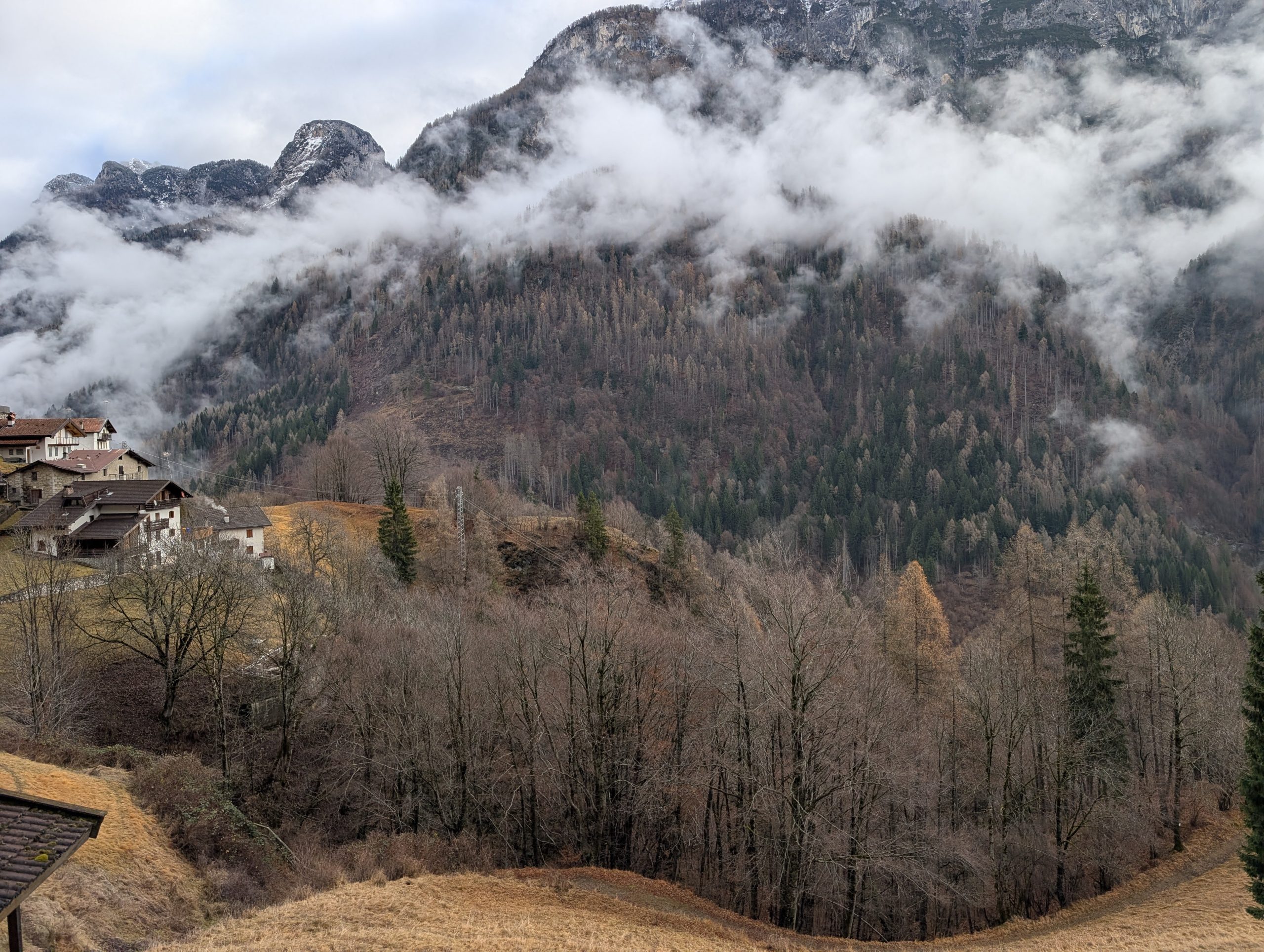
The survey was conducted along a 1,700-meter stretch of riverbed, including the overlying slope. The purpose of the survey is to provide useful data for the subsequent definitive and executive design of the interventions.
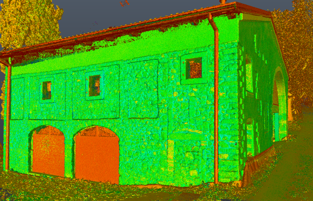
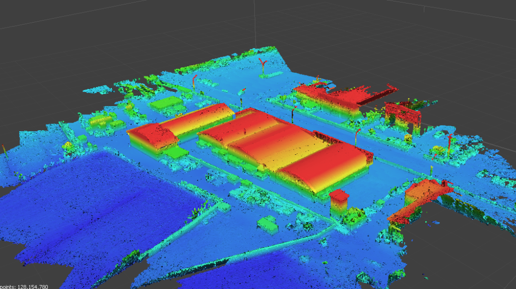
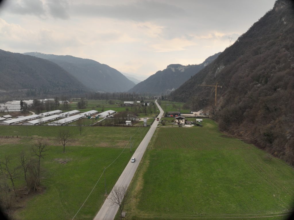
The goal of the service was to create a digital terrain model of the entire riverbed and provide an updated orthophoto of the locations.
The following deliverables were provided:
- Unfiltered point cloud of the entire area
- Digital Terrain Model
- High-resolution orthophotos of the surveyed locations
- Mainstream Monographs