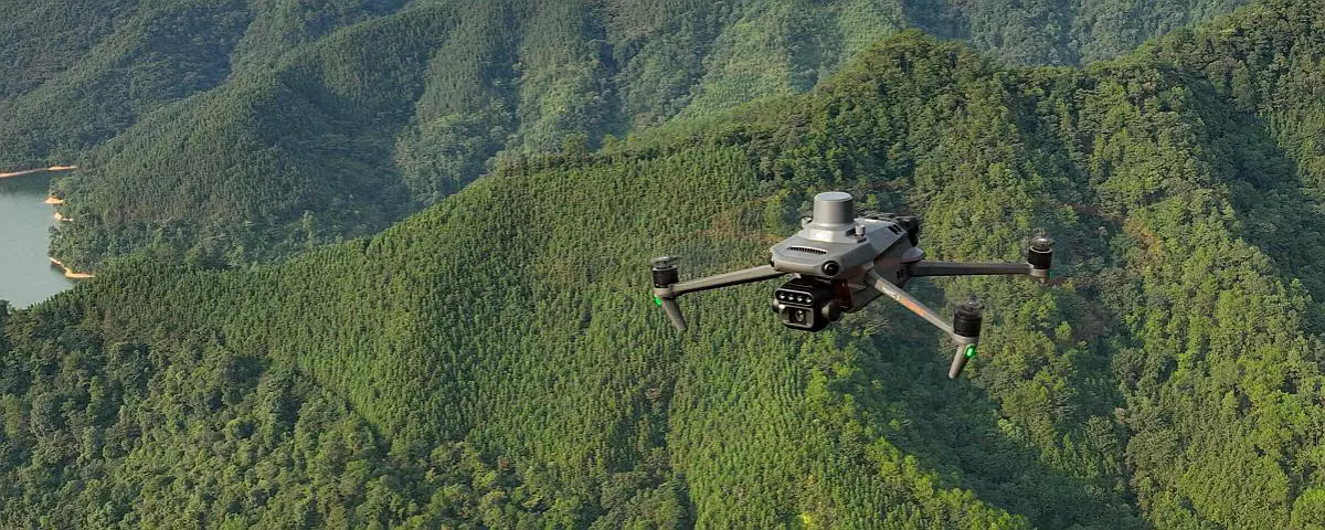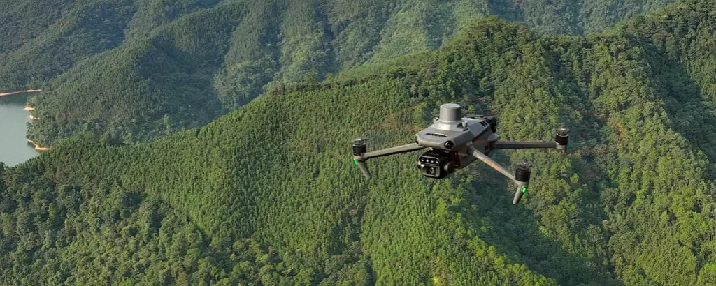
Technological innovation applied to land and environmental surveys continues to open up new possibilities for analysis and monitoring. Among the most advanced solutions available today, the multispectral camera represents a valuable tool for acquiring information that goes far beyond what is visible to the human eye.
What is a multispectral camera and why is it so important?
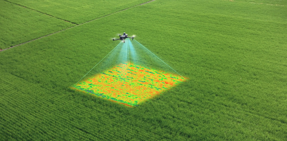
A multispectral camera is a sensor capable of acquiring images in multiple bands of the electromagnetic spectrum, not only in the visible range (red, green, blue) but also in additional bands such as the near-infrared (NIR) or the red edge. These bands provide valuable data on the spectral response of observed materials and surfaces, allowing the identification of physical and biological characteristics that cannot be detected with a simple RGB camera.
In practical terms, the multispectral camera “sees beyond”: each band captures specific wavelengths of light reflected or absorbed by objects. The combined processing of this information allows for thematic maps, indices, and detailed analyses of the landscape, vegetation, or infrastructure.
How does it work and what information does it provide?
The operating principle is based on spectral reflectance: each material reflects or absorbs light differently depending on its composition and state:
• Healthy plants reflect intensely in the near-infrared range, while those experiencing water or nutritional stress show lower values;
• Artificial surfaces (asphalt, roofing, concrete) have very distinct spectral responses, allowing for clear soil classification;
• Humidity variations, thermal anomalies, or signs of surface degradation can be highlighted through multispectral analysis integrated with other sensors.
This data is then processed using photogrammetric and GIS software, generating products such as multispectral orthophotos, digital terrain models, and radiometrically calibrated thematic maps.
Main applications of multispectral technology:
• Precision agriculture: crop health assessment, identification of water stress or nutrient deficiencies, and treatment optimization;
• Environmental and forestry monitoring: vegetation cover analysis, identification of degraded areas, and study of biodiversity and soil quality;
• Land surveys and land use: surface classification, identification of impervious or erosion zones, monitoring of landfills and quarries;
• Technical and infrastructure inspections: detection of defects or alterations to roofs, bridges, embankments, and impervious surfaces;
• Post-event management: assessment of damage following fires, floods, or landslides by comparing surveys performed at different points in time.
Thanks to the use of drones and multispectral cameras, we are able to perform rapid, efficient, and highly informative surveys of agriculture, land, infrastructure, and the environment. By purchasing high-resolution data and using advanced processing tools, we provide thematic maps, vegetation indices, digital models, and customized reports.
Furthermore, this type of survey can be perfectly integrated into periodic monitoring campaigns: repeating missions allows us to evaluate the evolution of conditions, intervene promptly, and optimize costs and interventions.