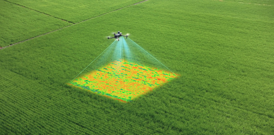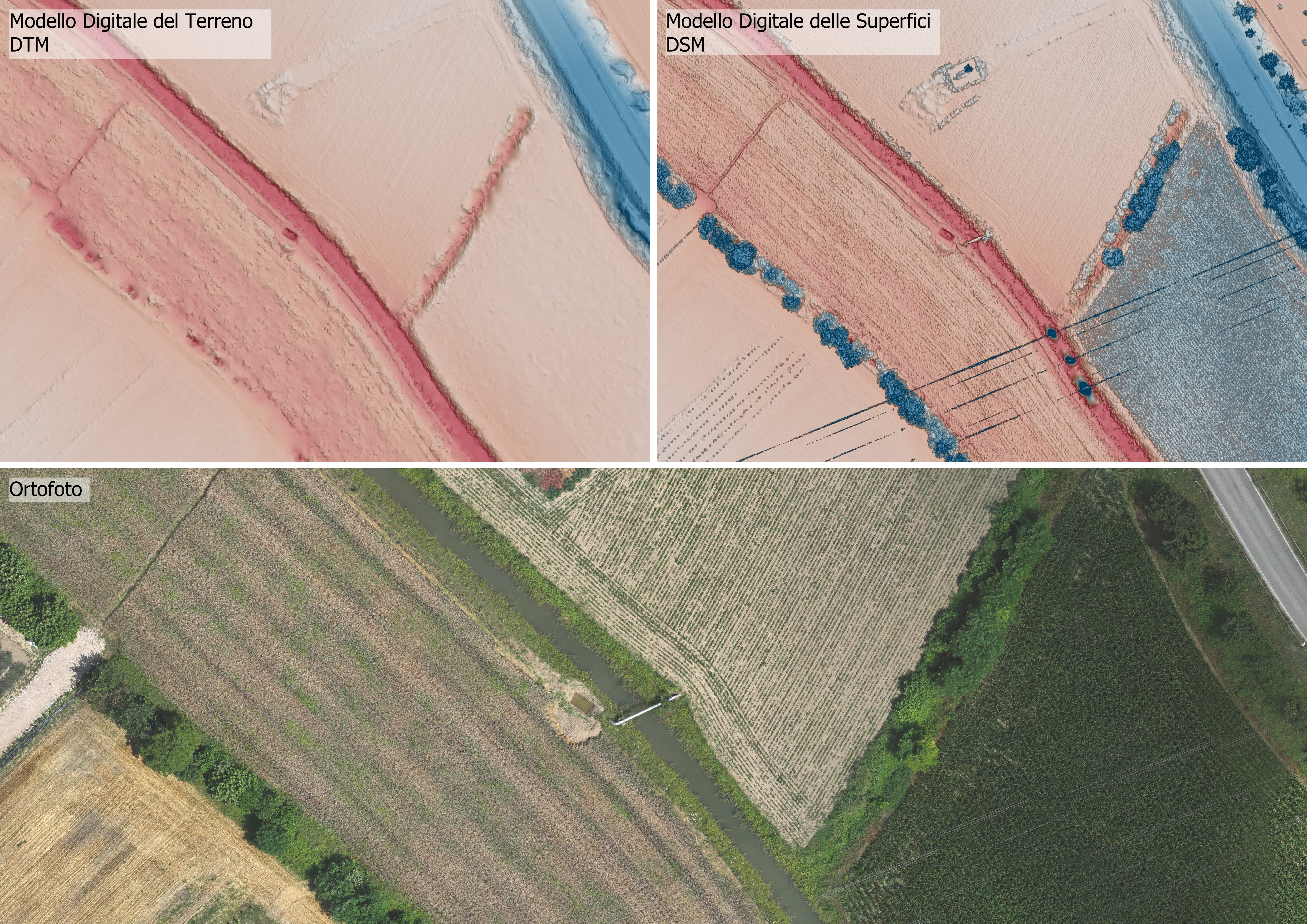
Drone surveys in remote areas : 2 strategic technologies for territorial analysis
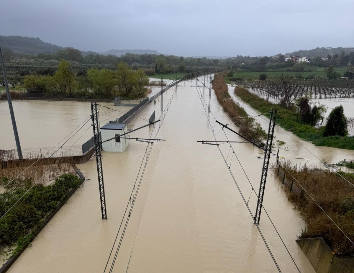
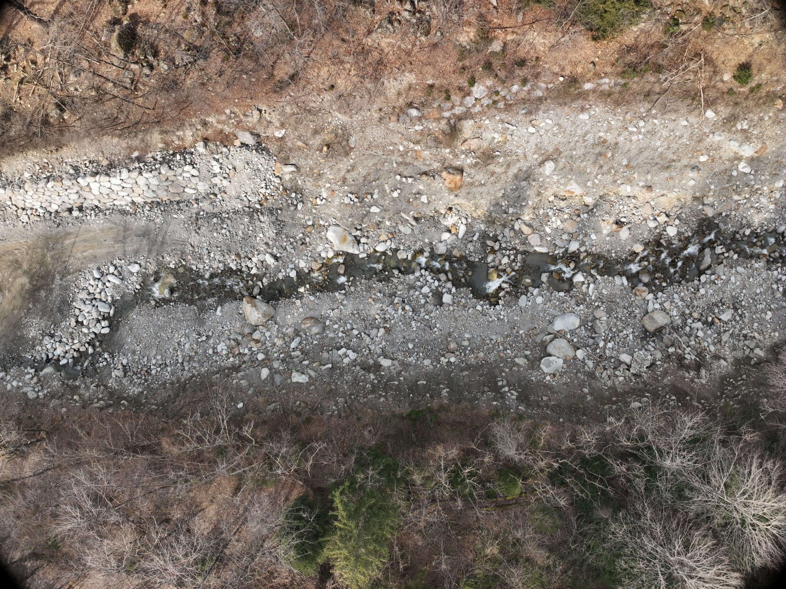
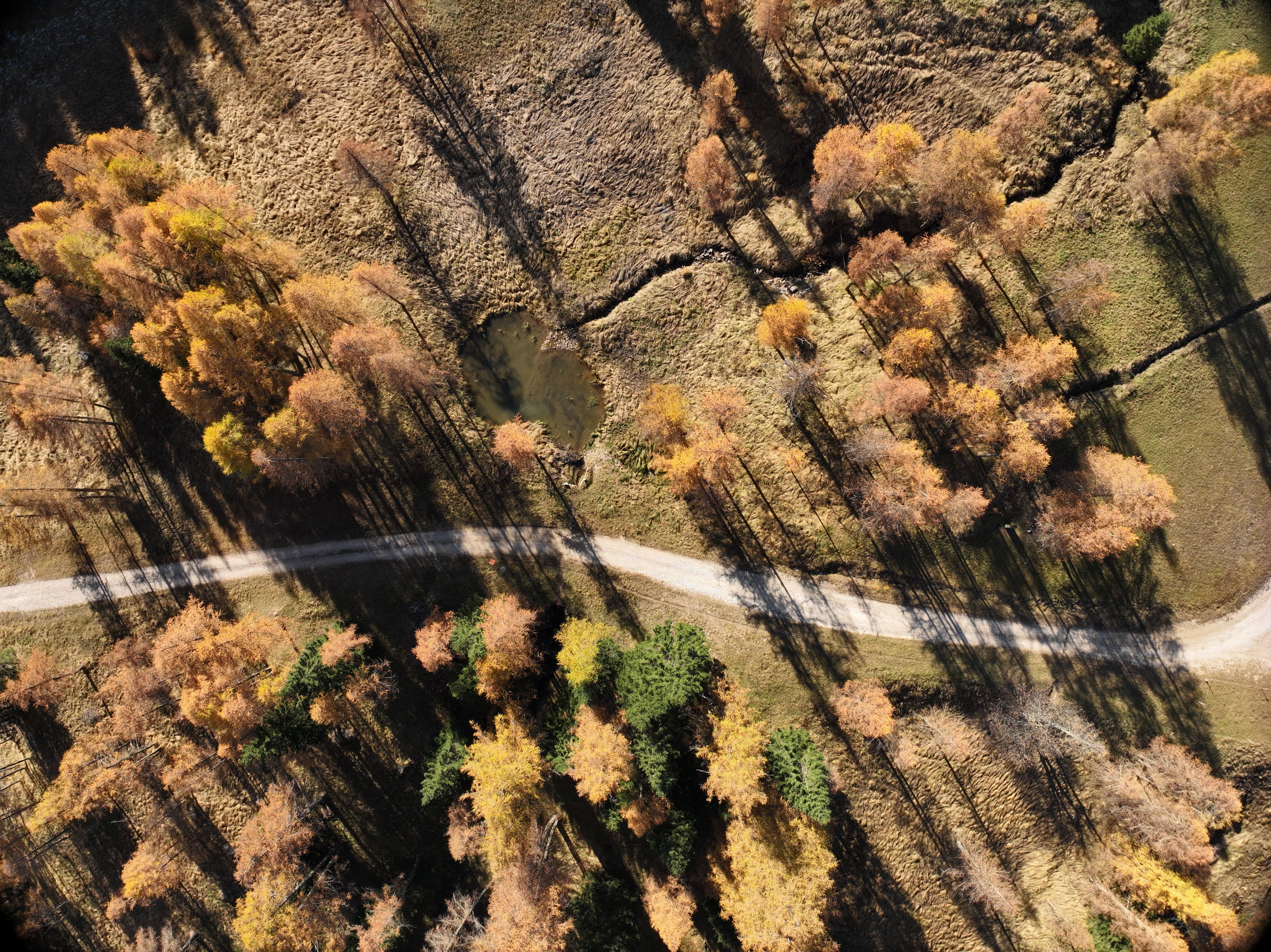
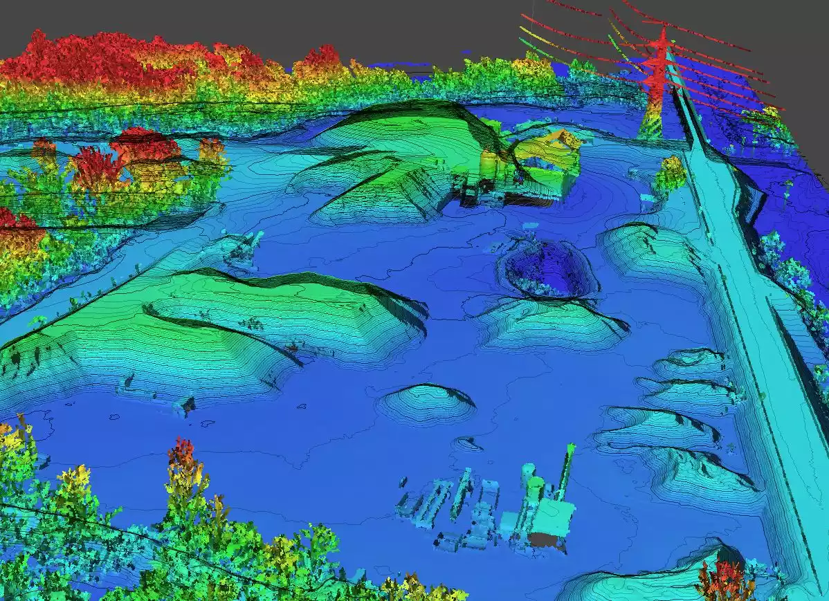
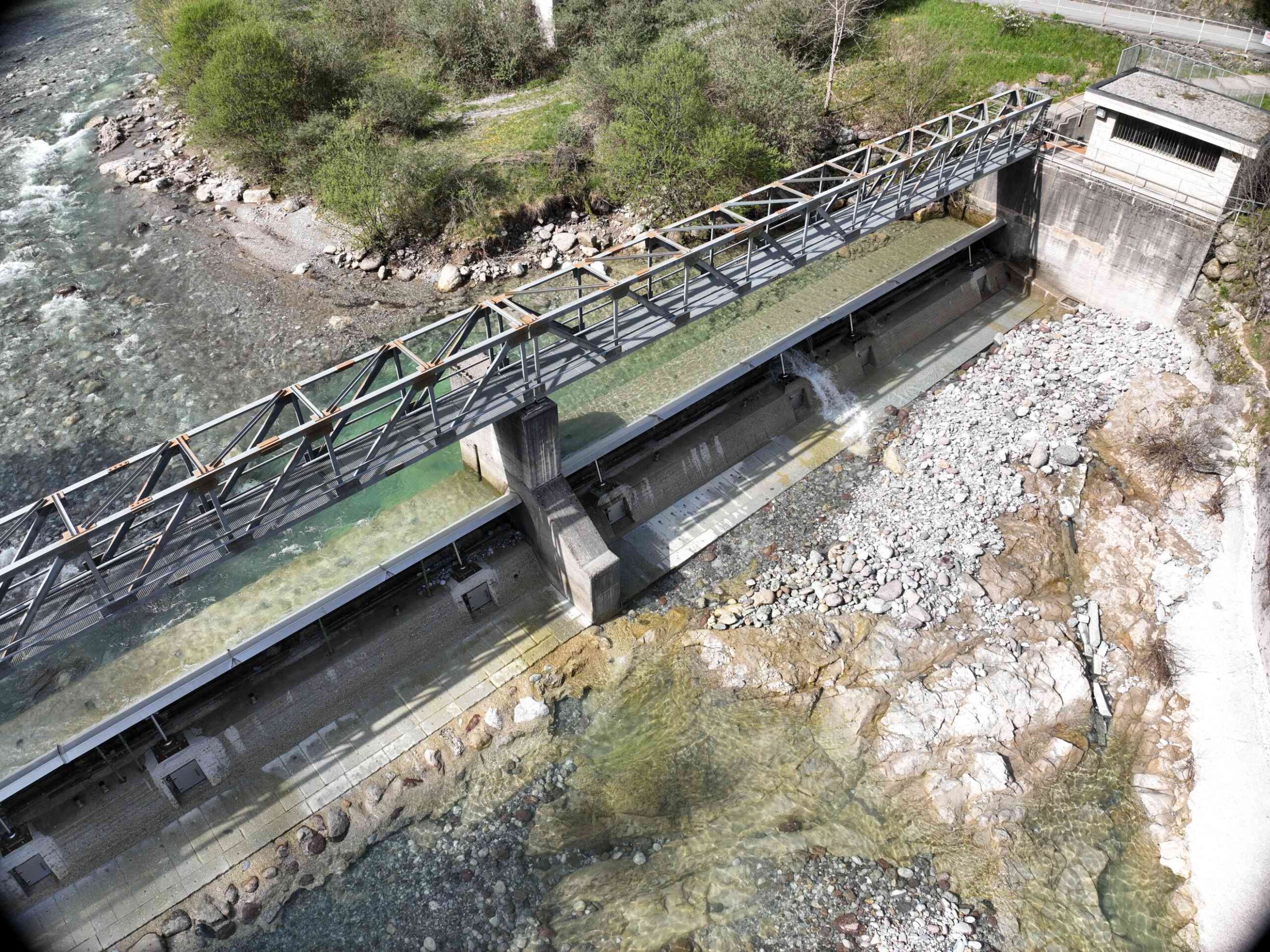
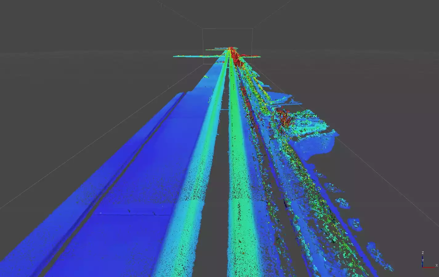
Drone surveys in remote areas represent a key solution for the analysis of isolated territories and complex mountainous areas. The often rugged morphology of the terrain introduces highly critical elements that slow down operational effectiveness