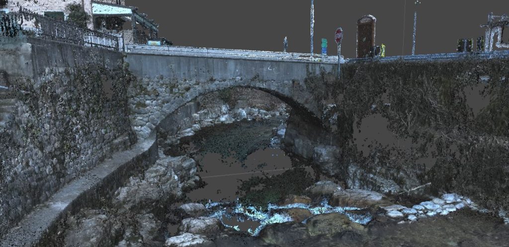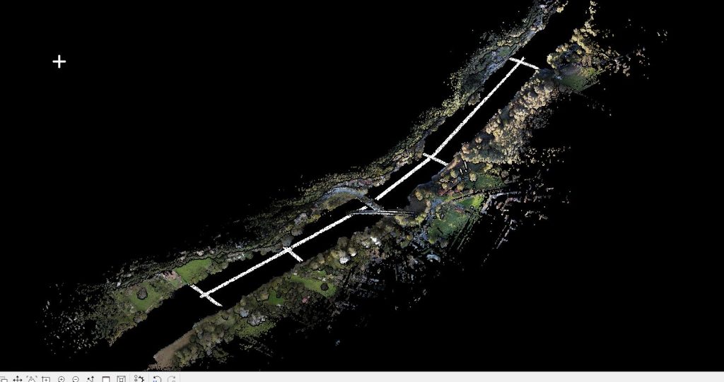
Topographic and LiDAR surveys in the Giaon area, including a section of the urban road network in the municipality of Limana (Belluno).
The deliverables included topographic planimetry, detailed metric orthophoto plans (with 3 cm pixel resolution), unfiltered point clouds of the entire surveyed area using SAPR technology, and digital terrain models necessary for the subsequent design phase of the interventions.
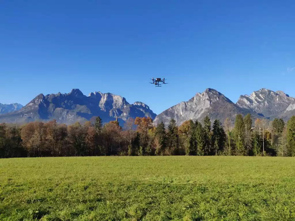
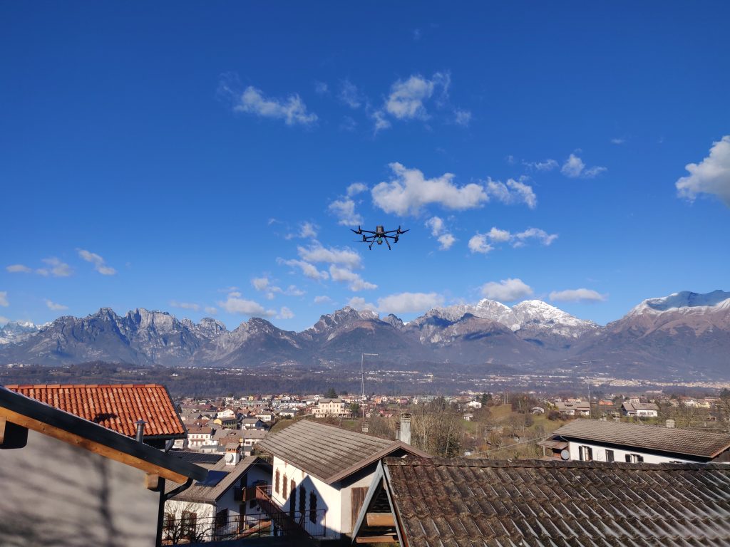
Equipment: UAS Matrix 300 RTK drone (DJI ZENMUSE L1), UAS DJI MAVIC 3 Multispectral, LEICA Scanstation C10 laser scanner, and GPS Geomax ZENITH10.