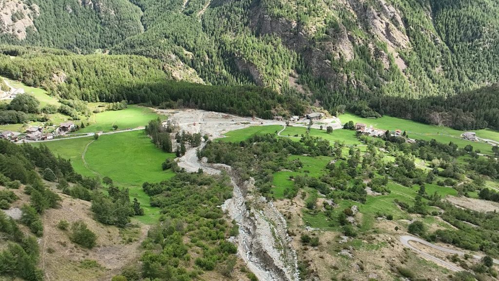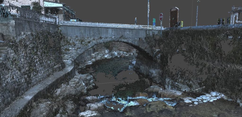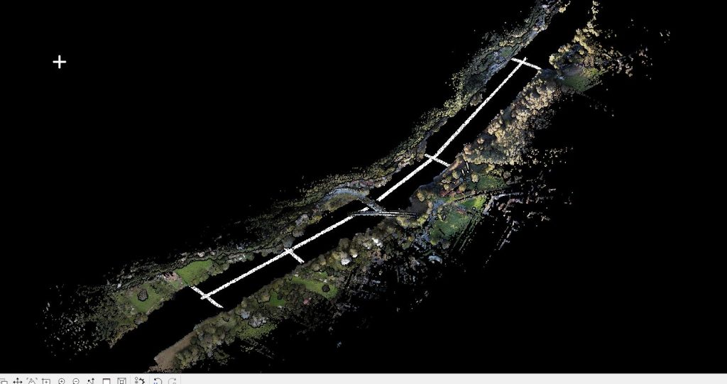
Bathymetric topographic survey of several sections of the riverbed of the Mera River at the Ponte del Passo bridge, south of Lake Mezzola in the municipality of Sorico (CO).
Sixteen hydraulic cross-sections of the riverbed, necessary for the subsequent executive design phase of the interventions, were provided.
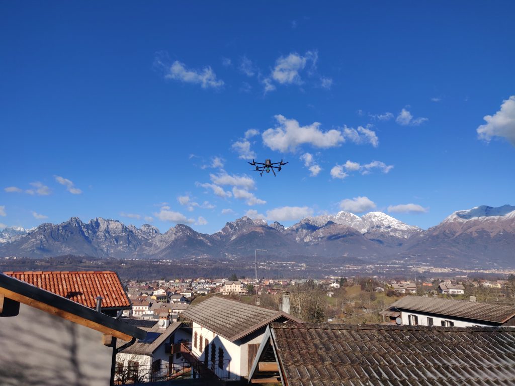
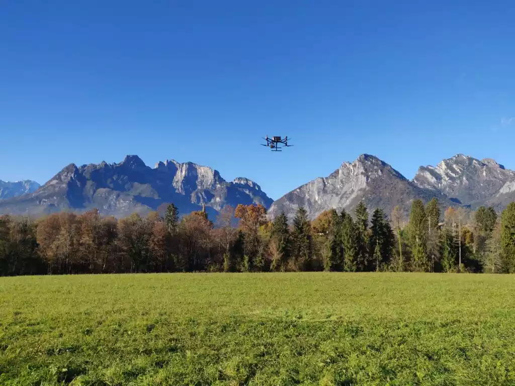
All activities were carried out by the EPC team using our instruments: UAS Matrix 300 RTK – DJI ZENMUSE L1 drone, UAS DJI MAVIC 3 multispectral, LEICA Scanstation C10 laser scanner, and GPS Geomax ZENITH10.