Skip to content
Via Prati 11 36031 Povolaro di Dueville - Vicenza
Tel + 39 0444 169000
Email: info@epcsrl.eu
Linkedin
Icon-facebook
Youtube
Icon-instagram-1
Home
About Us
Sectors
European Projects
Territory and Environment
Remote Sensing
Services
Project drafting
Technical assistance for management
Communication & Participation
Financial management and reporting
Environmental design
Territorial Information Systems
Survey strategies
Laser scanner surveys
Aerial and terrestrial photogrammetry
Projects
News
X
Contact us
Projects
EPC
– Project
EU Projects
Remote Sensing
Territory and environment
All
2026
Remote Sensing
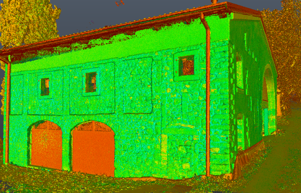
Topographic, photogrammetric and laser scanning surveys of a residential building
View project
2026
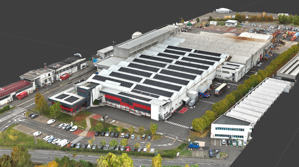
Remote Sensing
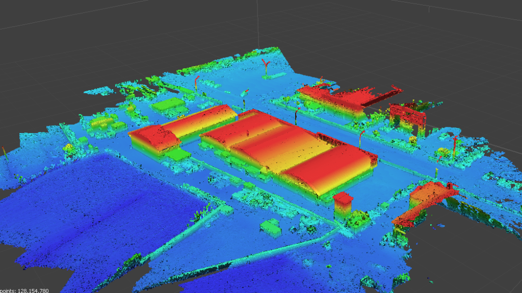
Topographic and aerial photogrammetric surveys of the industrial plant
View project
2026
EU Projects
Support for the administrative and financial management of the DeepHorizon project
View project
2026
Remote Sensing
Cadastral, aerial photogrammetric, and LiDAR surveys of extra-urban areas in the municipality of Fonzaso
View project
2026
EU Projects
Funding Access Support: Technical Assistance Service for Cyclana Bio
View project
2026
Remote Sensing
Aerial photogrammetric and LiDAR survey of a slope and a stretch of riverbed in the municipality of San Tomaso Agordino
View project
2026
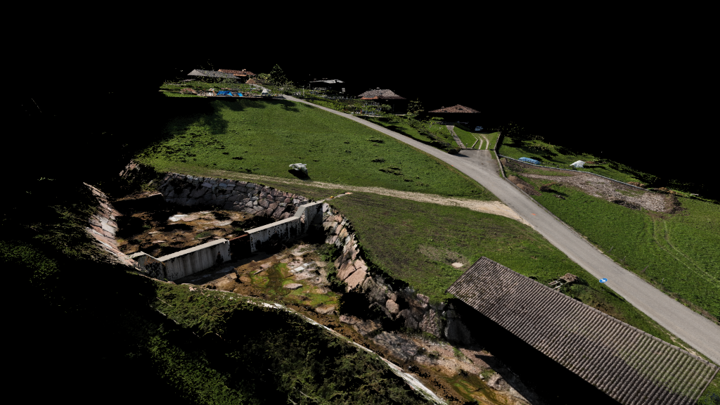
Remote Sensing
Topographic, aerial photogrammetric, and LiDAR survey of a hydraulic intake structure
View project
2026
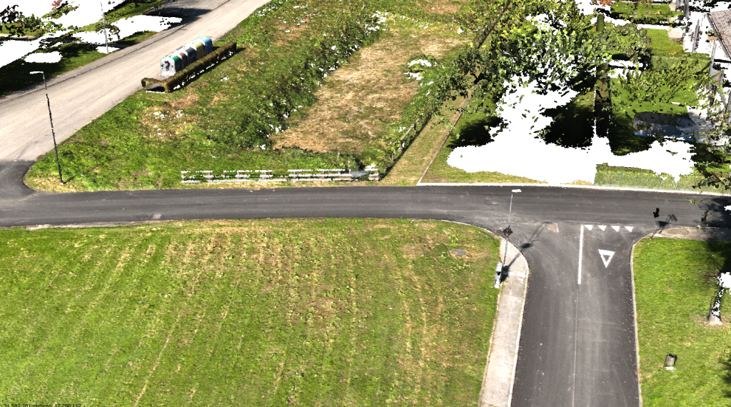
Remote Sensing
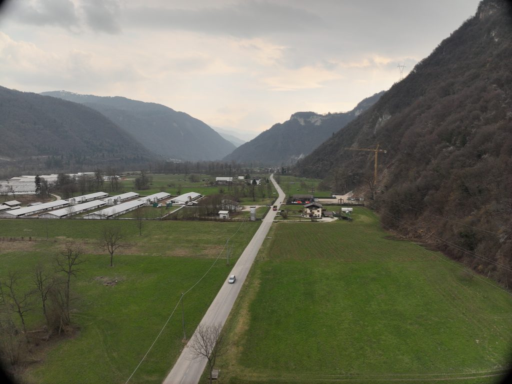
Topographic and aerial photogrammetric surveys via aerial overflight of an extra-urban area between two municipalities
View project
2026
EU Projects
Technical Assistance Service (Financial and Communication Management) for PRESPORT
View project
2025
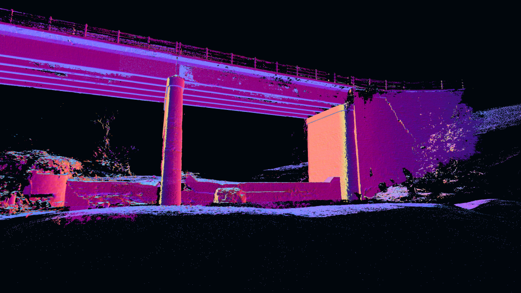
Remote Sensing
Topographic and LiDAR surveys of a bridge and a stretch of the Samoggia stream bed
View project
2025
Remote Sensing
Topographic and aerial photogrammetric surveys of the “Snap-On” industrial plant
View project
2025
Remote Sensing
Topographic and aerial photogrammetric surveys for the as-built plan of a new access road
View project
2025
EU Projects
Support for the final event and the local Action Plan of the RE-GEN project
View project
2025
Remote Sensing
Topographic and aerial photogrammetric surveys to verify the as-built condition of a lamination basin
View project
2025
EU Projects
Support for communication and coordination of the TO CARE MED project
View project
2025
Remote Sensing
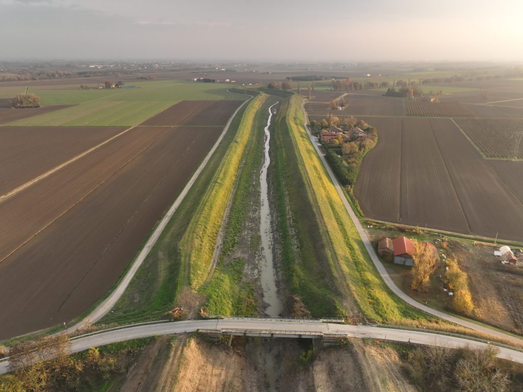
Topographic and LiDAR surveys of hydraulic crossings and related river areas
View project
Load more