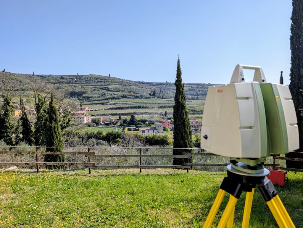
Laser Scanner: a terrestrial instrument designed for high-precision 3D data acquisition
When working on a building, infrastructure, or industrial plant, accurately understanding the existing conditions is the first step toward effective design. An accurate survey minimizes unforeseen issues, optimizes time and costs, and provides reliable data upon which to base every design decision.
To meet these needs, EPC’s Remote Sensing sector offers a professional 3D surveying service using terrestrial laser scanner, capable of rapidly capturing millions of measurements with a high level of detail.
A comprehensive service, from planning to data delivery
Every survey begins with a careful analysis of the client’s needs.
Before data acquisition, project objectives, the required level of detail, and the necessary final deliverables are defined. Subsequently, the EPC team plans field operations, conducts the survey, and processes the data, transforming it into technical products ready for use by designers, engineering firms, architects, contractors, and public agencies.
Handling every stage of the process in-house ensures high quality standards, reduces turnaround times, and allows for a service tailored to the project’s specific requirements.
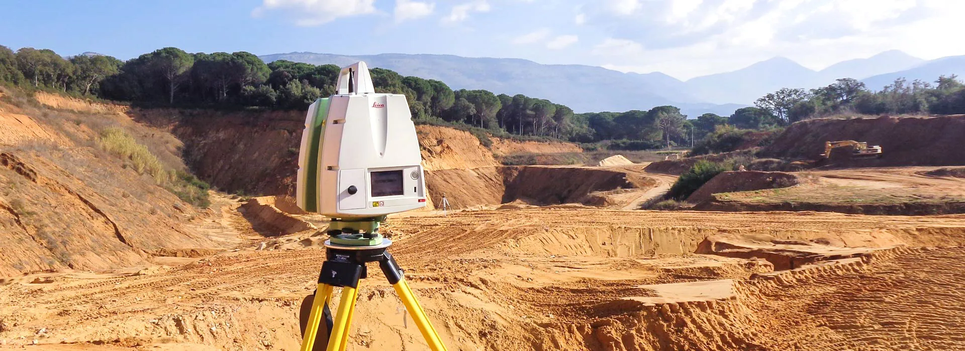
When to choose a laser scanner survey
Laser scanner survey is the ideal solution when there is a need to rapidly and accurately capture complex geometries, vast amounts of information, and details that are difficult to measure using traditional methods.
EPC’s Remote Sensing sector carries out 3D surveys for numerous applications, including:
- historic buildings and monuments;
- civil and industrial structures;
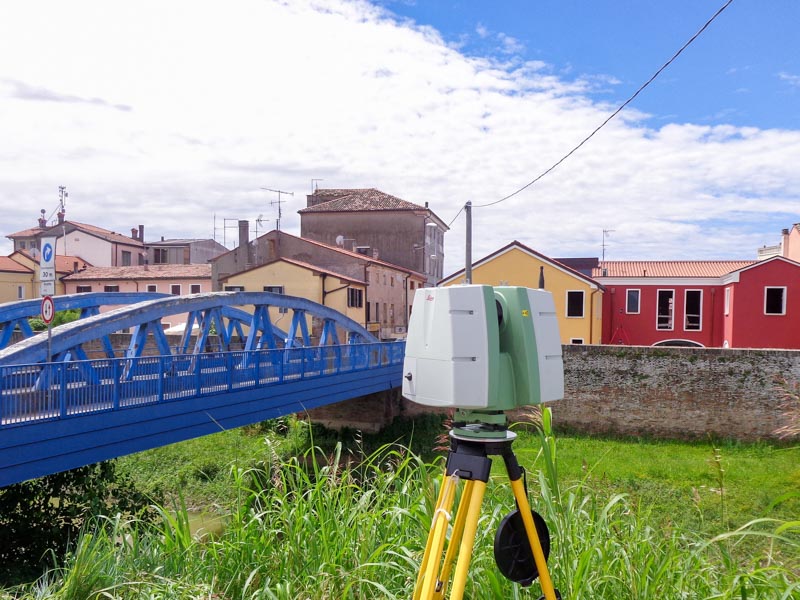
- infrastructure, bridges, and civil engineering works;
- industrial plants;
- construction sites and ongoing projects;
- “as-built” surveys;
- geometric monitoring;
- technical documentation for restoration and maintenance projects.
Thanks to rapid data acquisition and high information density, laser scanner allows for the faithful documentation of even complex architectural elements, irregular surfaces, and structures of particular value.
From scanning to technical deliverables
The value of a survey lies not only in data acquisition but, above all, in transforming that data into useful, ready-to-use technical deliverables.
Depending on client needs, EPC produces:
- high-density 3D point clouds;
- 3D models;
- floor plans, elevations, and sections;
- “as-built” models;
- documentation for architectural restoration and renovation;
- technical documentation for design and maintenance;
- files compatible with major CAD and BIM software.
Having a complete point cloud available also allows for measurements, dimensional checks, and the generation of new deliverables long after the initial survey, often eliminating the need for additional site visits and optimizing design time and costs.
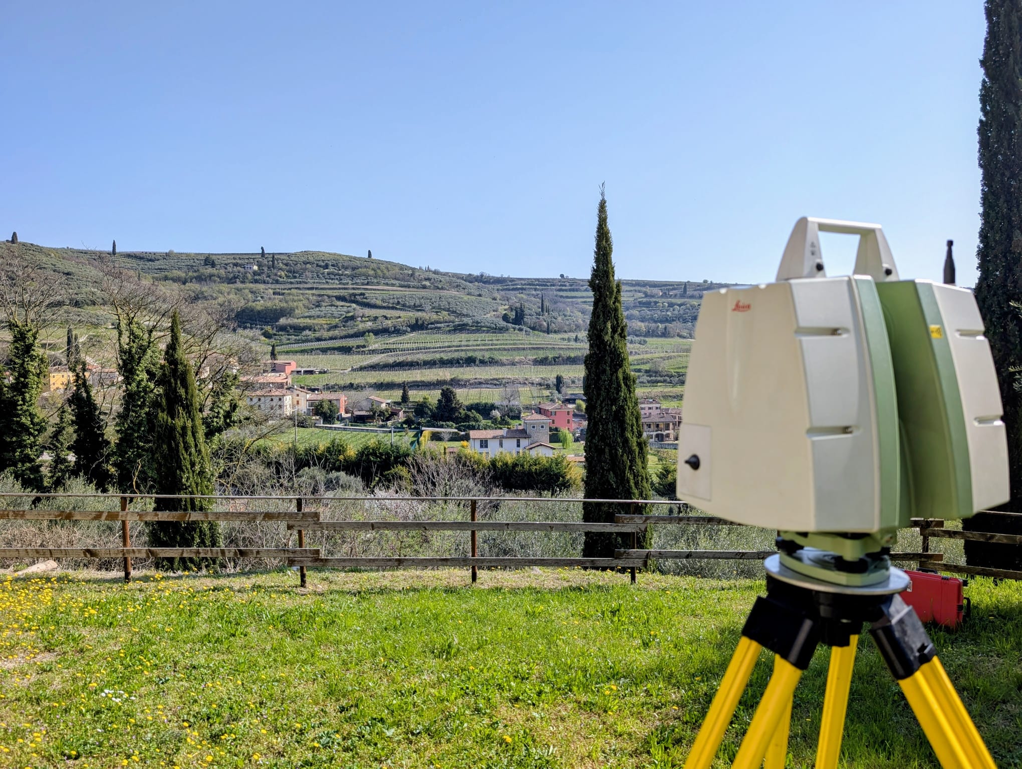
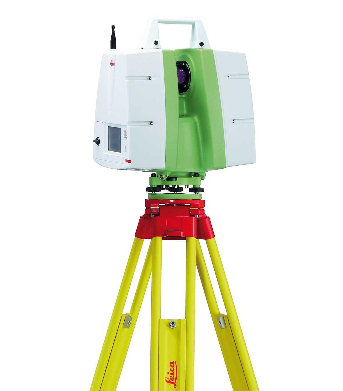
Laser Scanner Leica ScanStation C10
To ensure high-precision results, EPC uses the Leica ScanStation C10, a terrestrial laser scanner designed for professional applications.
The instrument captures millions of 3D points rapidly, faithfully reconstructing the geometries, surfaces, and details of the surveyed environment. Each point is recorded with precise spatial coordinates, enabling the creation of an extremely accurate digital representation of the structure.
Its high acquisition speed, reliability, and data quality make the Laser Scanner particularly well-suited for complex surveys where precision and comprehensive information are paramount.
For EPC, however, technology is a means rather than an end: the value of the service stems from the ability to properly plan the survey, acquire high-quality data, and process it to meet the client’s actual needs.
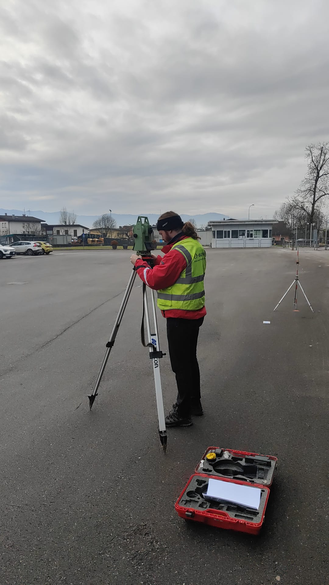
Why choose EPC?
A high-quality survey depends not only on the equipment used but also on the experience of the team performing it and the ability to transform acquired data into truly useful information.
EPC supports the client at every stage of the project, offering a comprehensive service that includes preliminary consultation, activity planning, data acquisition, technical processing, and final delivery of the outputs.
Each assignment is handled with a tailored approach, identifying the most effective solution based on the structure’s characteristics, project objectives, and the client’s requirements.
Choosing EPC means relying on a technical firm capable of combining specialized expertise, operational experience, and professional technologies to deliver accurate 3D surveys, reliable data, and concrete support for the design, monitoring, and management of building and infrastructure assets.