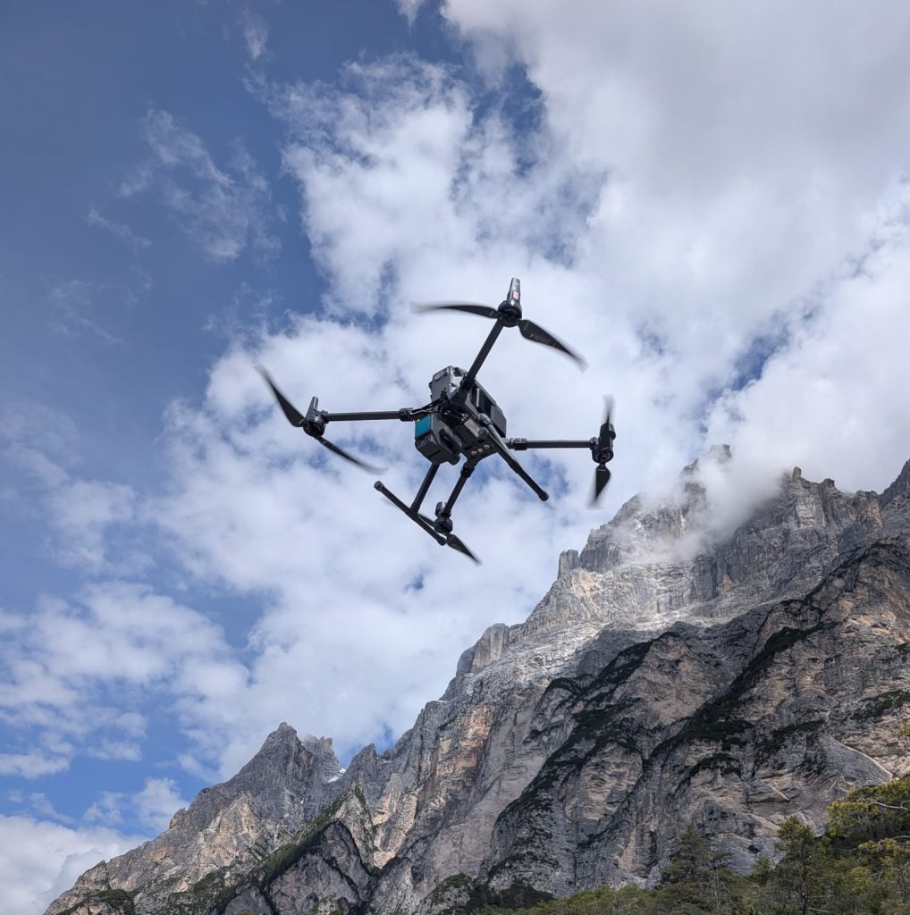
The DJI Matrice 300 RTK: Enabling precise, rapid, and customized aerial surveys
EPC’s Remote Sensing sector offers professional drone-based surveying services, guiding clients through the entire process from defining objectives and flight planning to data acquisition, processing, and final output generation.
Our drone-based remote sensing service goes beyond simple aerial photography. The collected images and data are transformed into technical deliverables suitable for design, monitoring, spatial planning, environmental management, and infrastructure inspection.
Each project is tailored to the specific characteristics of the site, the required level of detail, and the client’s unique needs. This allows EPC to propose a customized surveying strategy that optimizes timelines, operational procedures, and the quality of the results.
Drones as Tools for Terrain Surveying
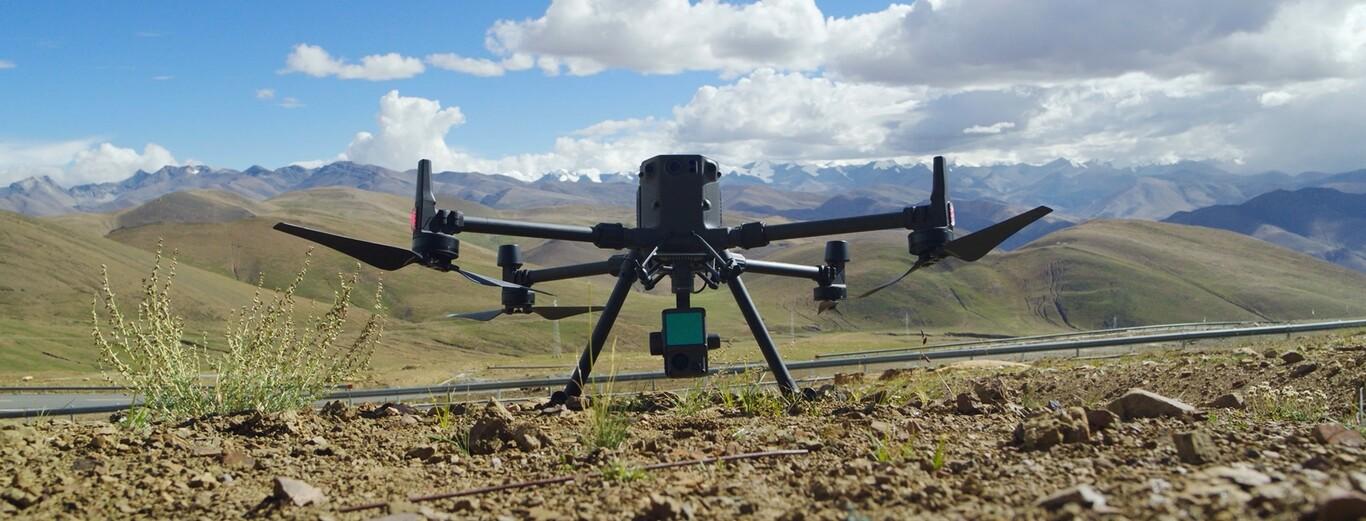
The use of drones has significantly expanded the capabilities of remote sensing. Operating from the air allows for the rapid acquisition of data over large areas, the ability to overcome physical obstacles, and access to complex or hard to reach locations on the ground.
Drones also enable the programming of automated missions that follow pre-set flight paths and parameters. This feature ensures uniform image coverage and allows surveys to be repeated over time under comparable acquisition conditions.
EPC leverages these capabilities to provide services to public bodies, businesses, technical firms, designers, and any entity requiring an up-to-date, detailed representation of the terrain.
Key applications of drone-based remote sensing include:
- topographic and aerial photogrammetric surveys;
- monitoring construction site progress;
- mapping quarries, mines, and landfills;
- surveying landslides, slopes, and areas prone to instability;
- monitoring riverbeds and coastal areas;
- surveying infrastructure, industrial facilities, and production sites;
- photographic and technical documentation of large areas.
In every instance, the survey is designed based on the client’s required outcome, selecting the most suitable configuration and data acquisition methods.
From aerial imagery to technical outputs
One of the key advantages of drone-based remote sensing is the ability to transform captured images into a measurable, georeferenced representation of the surveyed area.
Depending on project requirements, EPC can produce:
- three-dimensional point clouds;
- digital terrain and surface models;
- three-dimensional models;
- contour lines;
- terrain cross-sections;
- maps and technical renderings;
- surface area and volume calculations;
- comparisons between surveys conducted at different times.
These outputs provide an accurate data foundation for design and allow for analysis and measurements to be performed even after field operations have concluded.
DJI Matrice 300 RTK: A Professional Tool for EPC Services
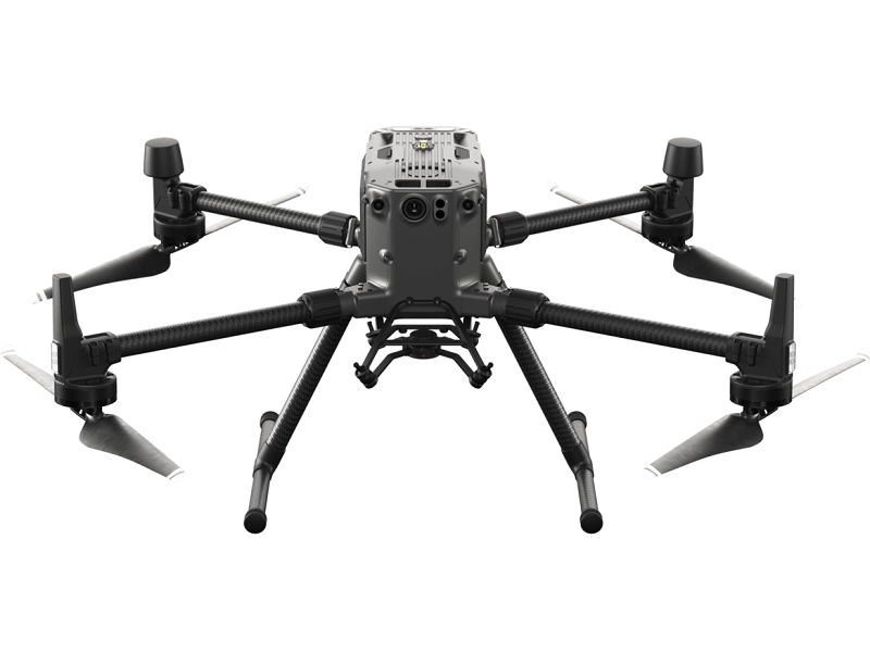
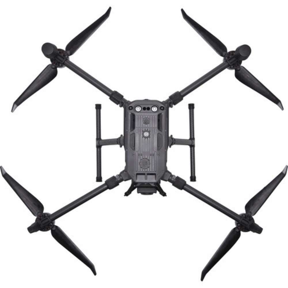
As part of the equipment used by its remote sensing division, EPC utilizes the DJI Matrice 300 RTK, a professional grade drone designed for technical and industrial applications.
RTK technology enables the acquisition of highly accurate, georeferenced data, while the ability to program automated missions allows for consistent and repeatable surveys. Its operational stability, extended flight time, and capacity to carry professional-grade sensors make the platform suitable for complex surveys and large-scale areas.
Furthermore, the DJI Matrice 300 RTK can be equipped with various data acquisition systems tailored to the specific service required. This flexibility allows EPC to use the drone to generate high-resolution imagery and 3D data, as well as to gather information essential for land monitoring. However, the technology itself is just one component of the service.
The quality of the final result depends on proper survey planning, operational management, data processing, and the ability to deliver information that aligns with the project’s specific requirements.
A comprehensive, client-focused service
Choosing EPC for a drone survey means having a single point of contact for every stage of the project.
Leveraging its expertise in remote sensing and utilizing the DJI Matrice 300 RTK, EPC applies technology to meet the practical needs of public bodies, professionals, and businesses, delivering accurate aerial surveys and reliable data for understanding, planning, and managing the territory.
To learn more about drone-based remote sensing, click this link.