Technological innovation applied to drone-based multispectral surveying opens up new opportunities for territorial analysis, monitoring and management. This methodology makes it possible to acquire detailed and highly informative data, going beyond simple visual observation and identifying features that cannot be detected by the human eye.
Among the most advanced solutions currently available, multispectral cameras represent a valuable tool for a wide range of applications, from precision agriculture and environmental monitoring to infrastructure analysis and the management of areas exposed to natural hazards. By integrating advanced sensors, drone platforms and data-processing software, it is possible to obtain accurate, georeferenced information that supports technical and operational decision-making.
What Is a Multispectral Camera?
A multispectral camera is a sensor capable of capturing images across several bands of the electromagnetic spectrum. Unlike a standard RGB camera, which records only the visible red, green and blue bands, a multispectral camera also detects additional bands, such as near-infrared, or NIR, and red edge.
These bands make it possible to analyse the spectral response of materials, surfaces and vegetation. Every element in a given area reflects or absorbs light differently, depending on its composition, physical condition and the surrounding environmental conditions. For this reason, drone-based multispectral surveying provides information that could not be obtained from a standard photograph.
In practical terms, a multispectral camera makes it possible to “see beyond” what is visible to the human eye. The processing of the acquired data can produce thematic maps, vegetation indices, multispectral orthophotos and detailed analyses. These outputs are useful for assessing the condition of the territory, vegetation, soil and infrastructure.
How Does Drone-Based Multispectral Surveying Work?
The operating principle is based on spectral reflectance: each material reflects or absorbs light differently depending on its composition and state:
The operating principle of drone-based multispectral surveying is based on spectral reflectance. Each material reflects or absorbs specific wavelengths of light differently. Analysing these responses makes it possible to identify anomalies, variations and specific conditions affecting the observed surfaces.
For example, healthy plants generally reflect strongly in the near-infrared band, while plants affected by water, nutritional or phytosanitary stress may show lower values. Similarly, artificial surfaces such as asphalt, roofing materials, concrete and impermeable surfaces have clearly distinguishable spectral responses, allowing for a more accurate classification of land use.
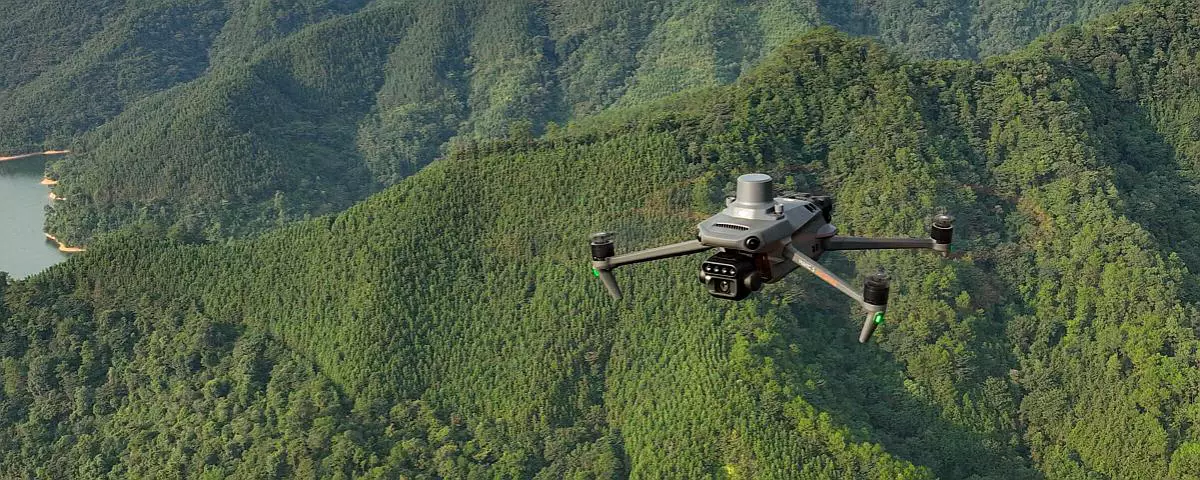
During the survey, the drone flies over the area of interest according to a predefined flight plan. The captured images are subsequently processed using photogrammetric and GIS software, enabling the production of highly accurate technical outputs. These may include multispectral orthophotos, digital terrain models, radiometrically calibrated thematic maps and vegetation indices.
Applications of Drone-Based Multispectral Surveying
Drone-based multispectral surveying can be applied across several sectors, providing effective support for analysis, planning and monitoring activities.
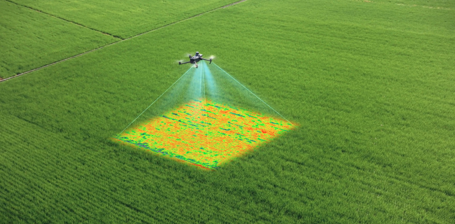
In agriculture, this technology makes it possible to assess crop health, identify water stress or nutrient deficiencies, monitor vegetative growth and optimise the use of water, fertilisers and treatments. Precision agriculture can therefore benefit from objective and up-to-date data, helping to improve the efficiency of interventions and reduce waste.
In environmental and forestry monitoring, multispectral surveying can be used to analyse vegetation cover, identify degraded areas, assess biodiversity and monitor the development of natural ecosystems. This methodology is also particularly useful for studying soil quality, inspecting sensitive areas and monitoring environmental degradation.
In territorial surveying, drone-based multispectral analysis enables the classification of surfaces, the identification of impermeable areas, the detection of zones exposed to erosion and support for spatial planning activities. The acquired data can be integrated with other surveys and territorial databases, providing a comprehensive and up-to-date overview of the analysed area.
This technology can also be used for technical and infrastructure inspections. Multispectral surveying can contribute to identifying alterations, anomalies or signs of deterioration affecting roofs, bridges, embankments, impermeable surfaces and other structures. This makes it possible to plan targeted interventions and improve maintenance activities.
Supporting Post-Event Management Through Multispectral Surveying
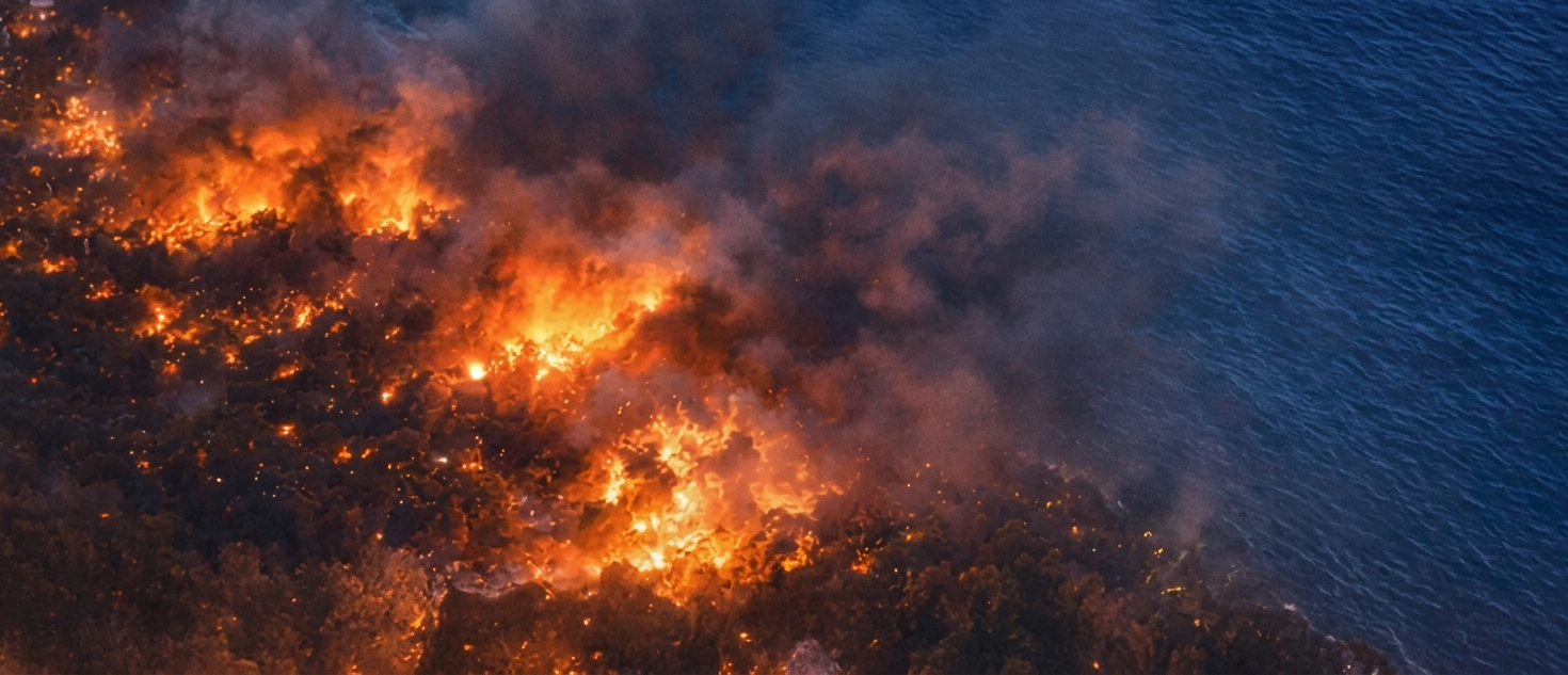
Another particularly relevant area of application is post-event management. Following fires, floods, landslides or other natural events, drone-based multispectral surveying makes it possible to rapidly acquire updated data on the affected area.
Comparing surveys carried out at different times allows technicians to assess how damage evolves, identify the most severely affected areas and support subsequent operational decisions.
The speed of data acquisition and the high level of detail provided make this methodology particularly useful for public authorities, technicians, designers and territorial managers. These stakeholders can use measurable and georeferenced information to plan restoration, safety and monitoring measures.
Benefits of Drone-Based Multispectral Surveying
The use of drone-based multispectral surveying makes it possible to conduct rapid, efficient and highly informative surveys. Drone technology enables large areas to be covered within a limited timeframe, reducing the need for operators to access the site directly and improving safety during field activities.
The acquisition of high-resolution data, combined with advanced processing tools, enables the production of thematic maps, vegetation indices, digital models and customised reports. These outputs provide practical support for technical analysis, intervention planning and long-term monitoring.
Multispectral surveying can also be fully integrated into periodic monitoring campaigns. Repeated missions make it possible to compare data collected at different times, assess the development of the observed conditions and intervene more promptly.
Drone-based multispectral surveying therefore represents an advanced and strategic technology for understanding, monitoring and managing the territory with greater accuracy. It provides objective and up-to-date data to support informed decision-making.
For twenty years, EPC – European Project Consulting has been carrying out topographic and aerial photogrammetric surveys. To learn more about our services, please click on this link.