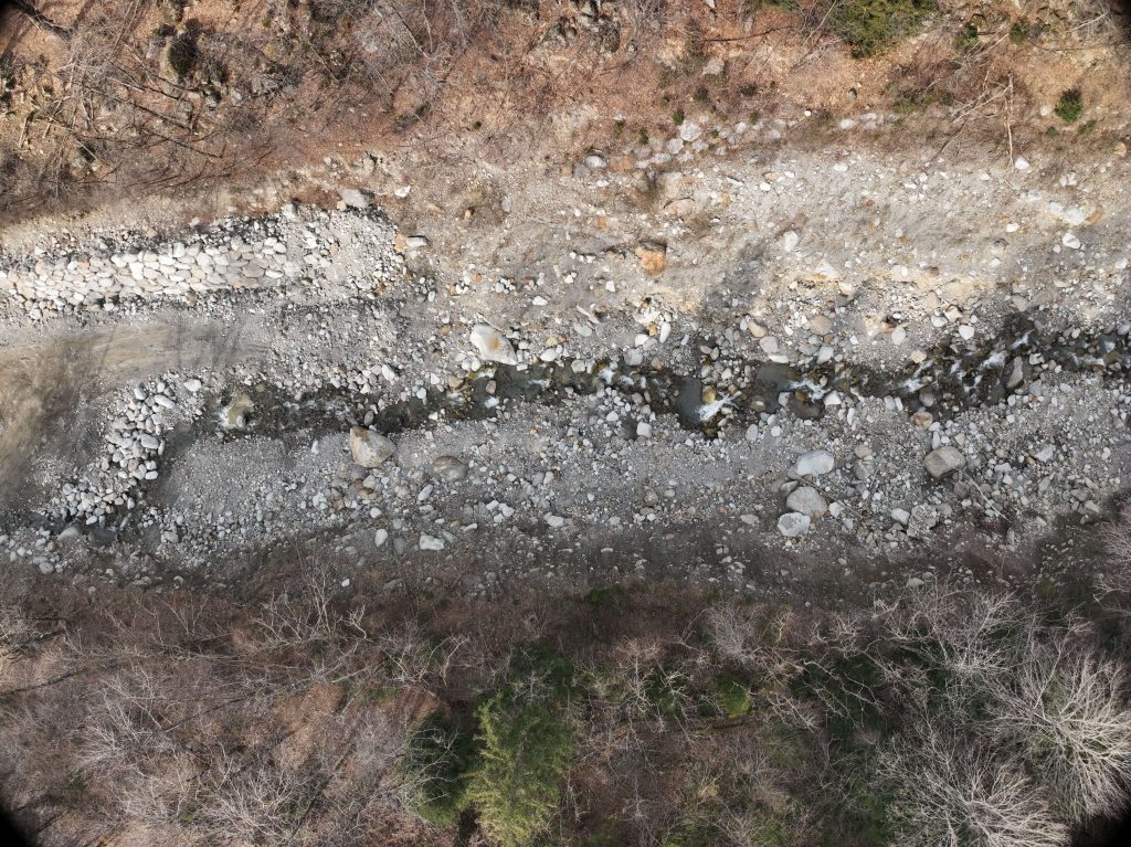
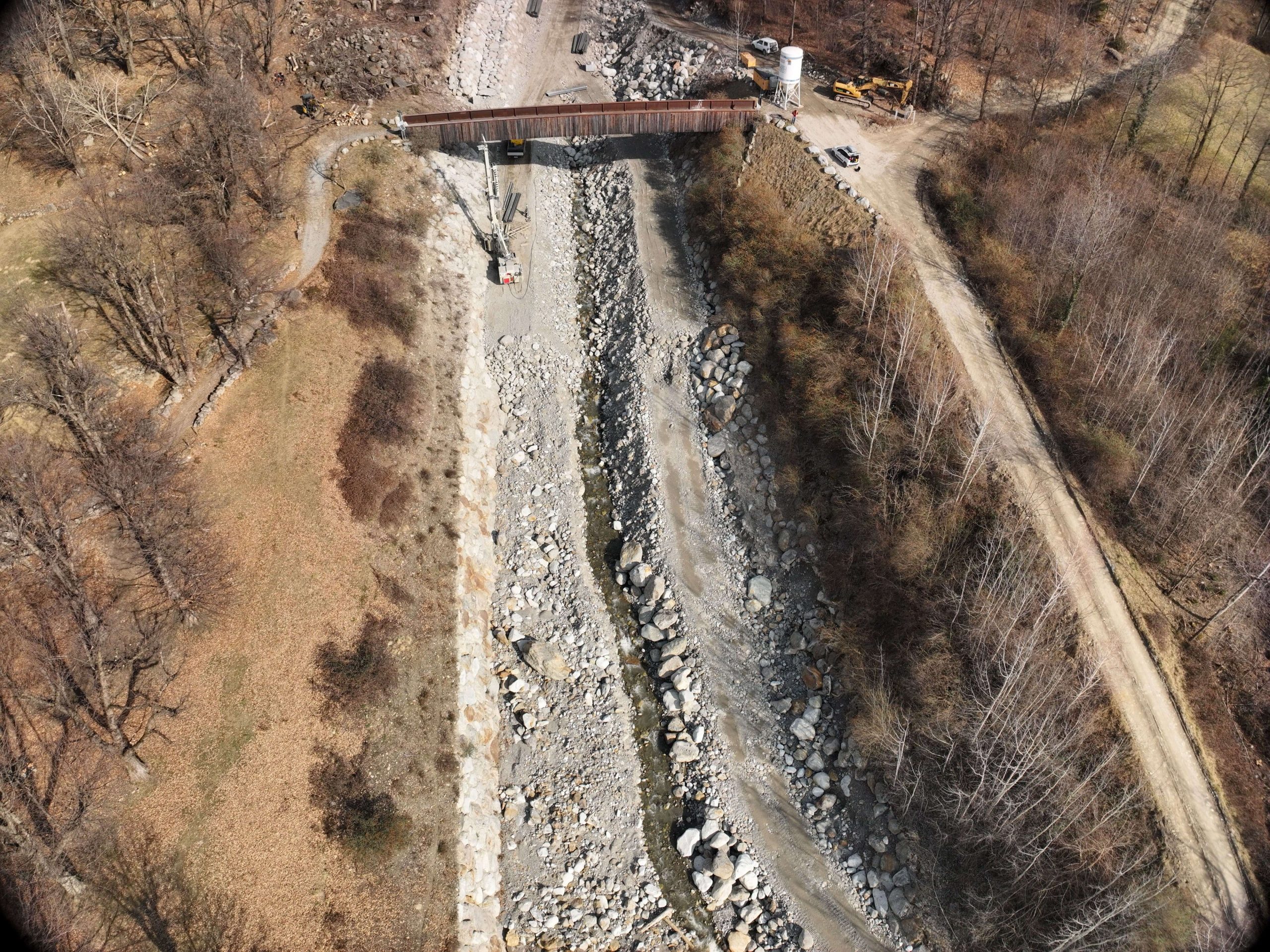
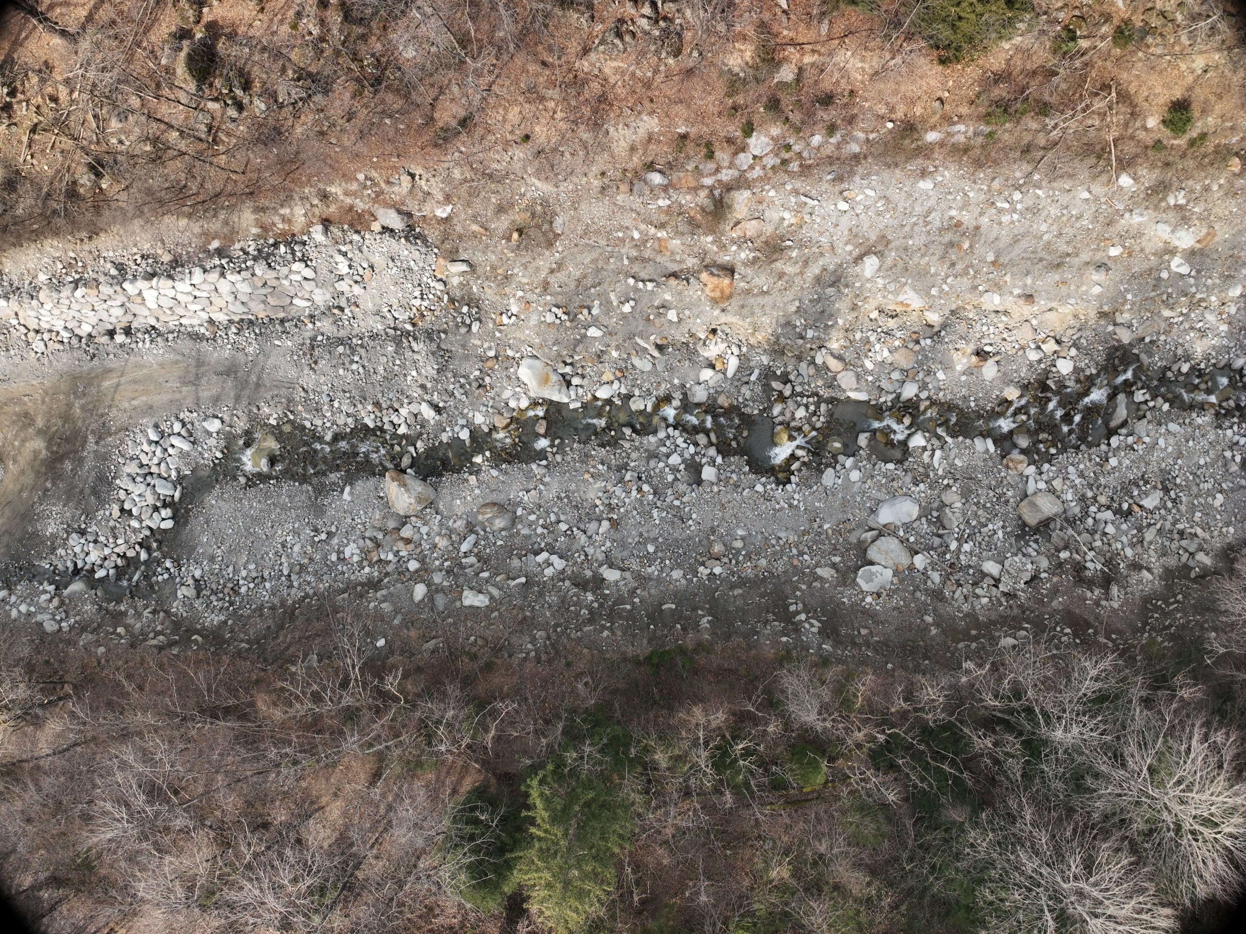
In 2025, the EPC team carried out an advanced drone-based laser scanner survey along a strategic section of the Rio Rabbia, located in the valley of the same name within the Municipality of Sonico, in the Province of Brescia.
The survey covered an area of approximately six hectares and a linear distance of around one kilometre. EPC had already mapped this area between 2021 and 2022. The new survey therefore makes it possible to compare the latest results with historical data and accurately analyse the morphological and hydrogeological evolution of the site. The activity was commissioned by Studio API – Associazione Professionale Ingegneri.
Objectives of laser scanner survey
The main objective of the drone-based laser scanner survey was to monitor hydrogeological risk and assess changes in the streambed over time.
Flight and scanning operations were carefully planned to obtain extremely accurate geometric data for the following purposes:
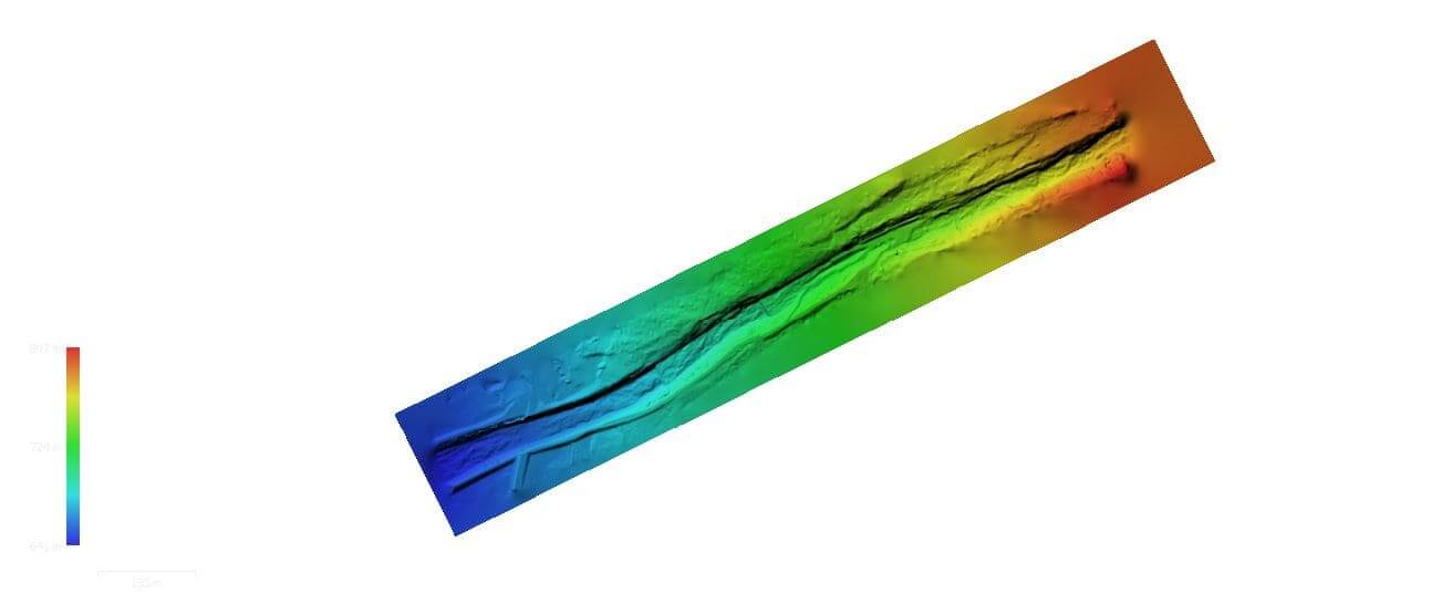
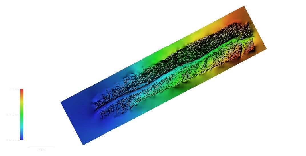
- creation of a Digital Terrain Model of the valley;
- production of an updated orthophoto with high geometric and radiometric resolution;
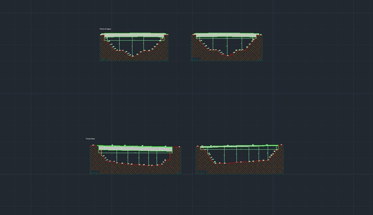
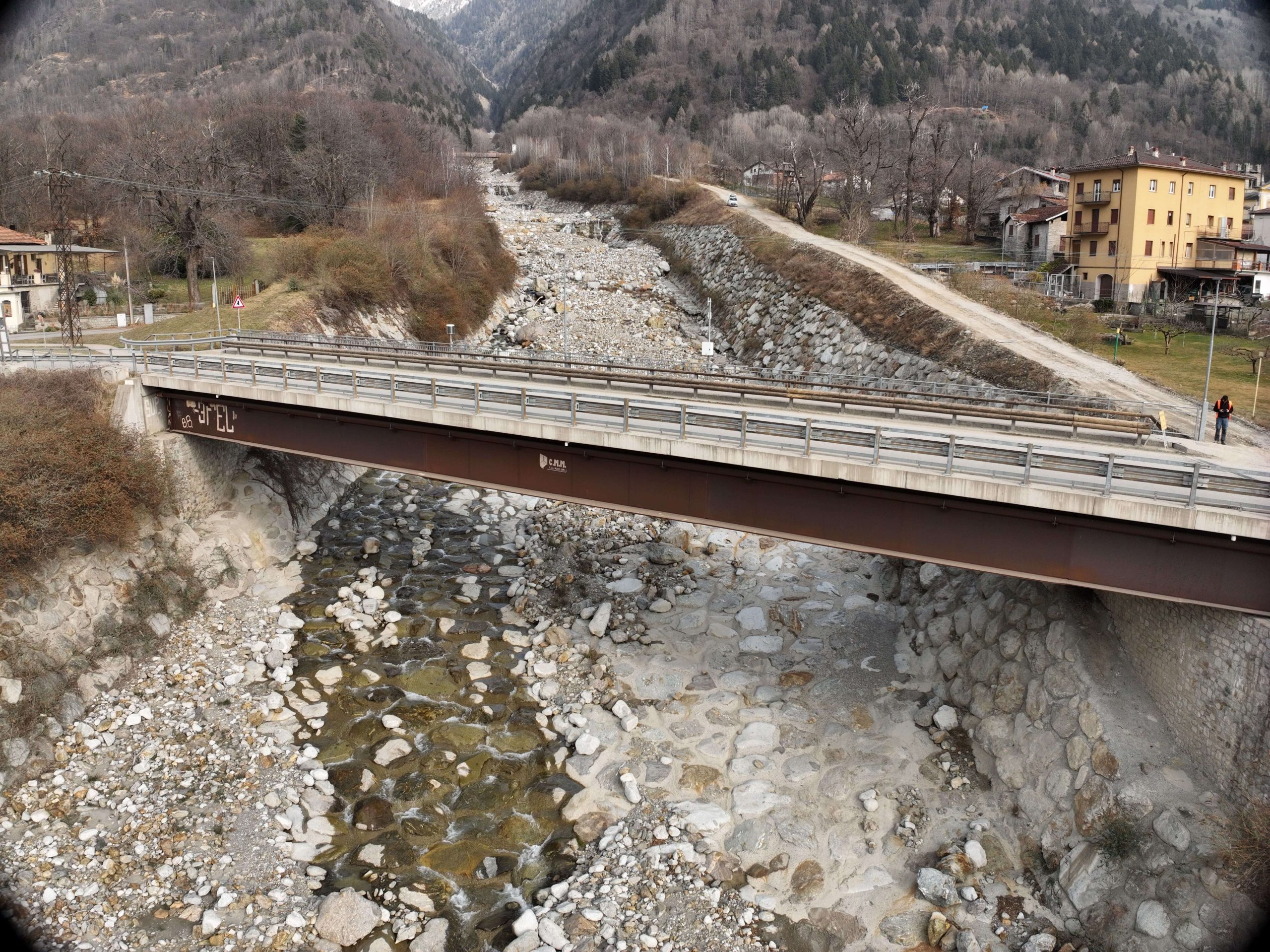
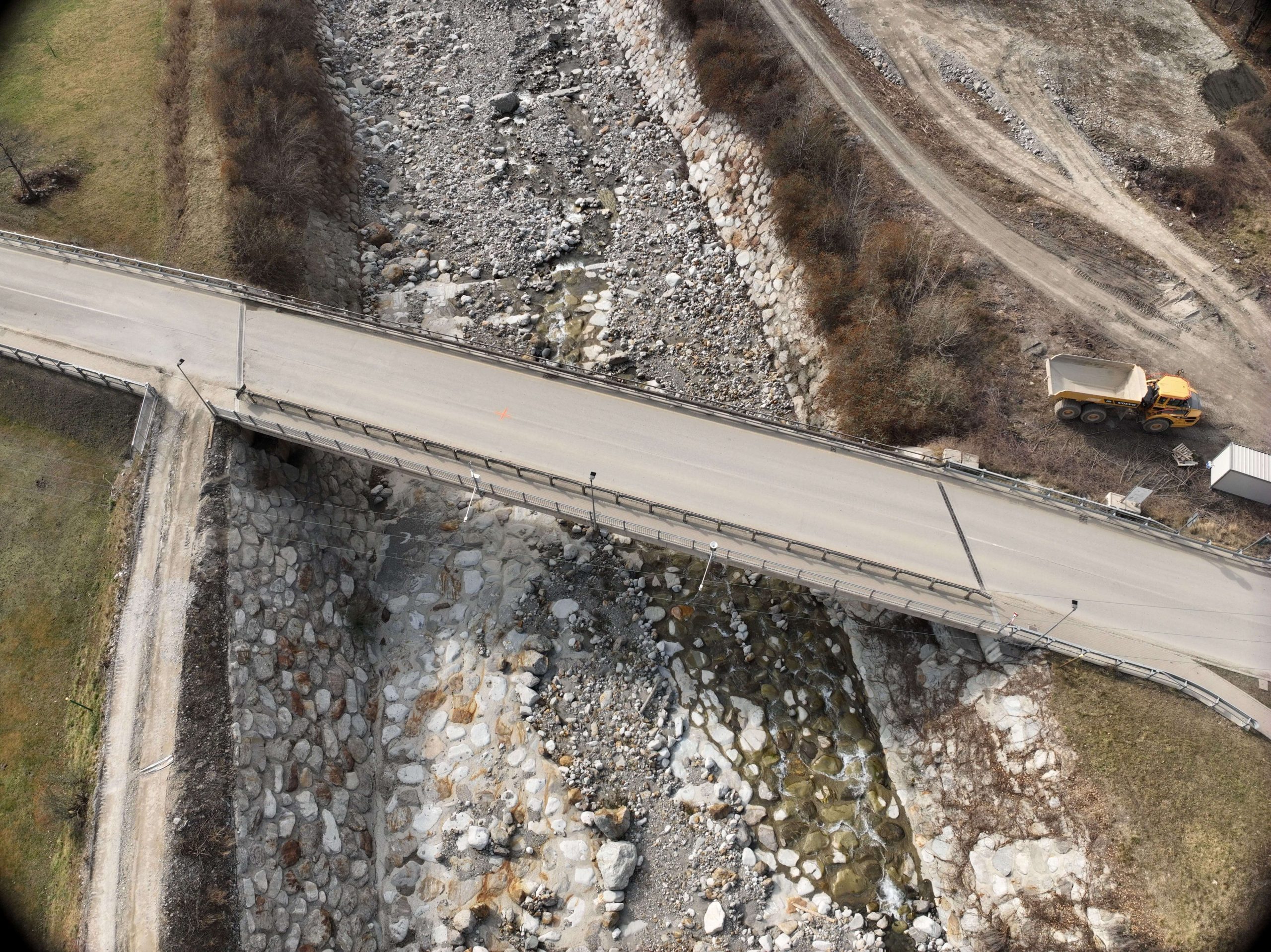
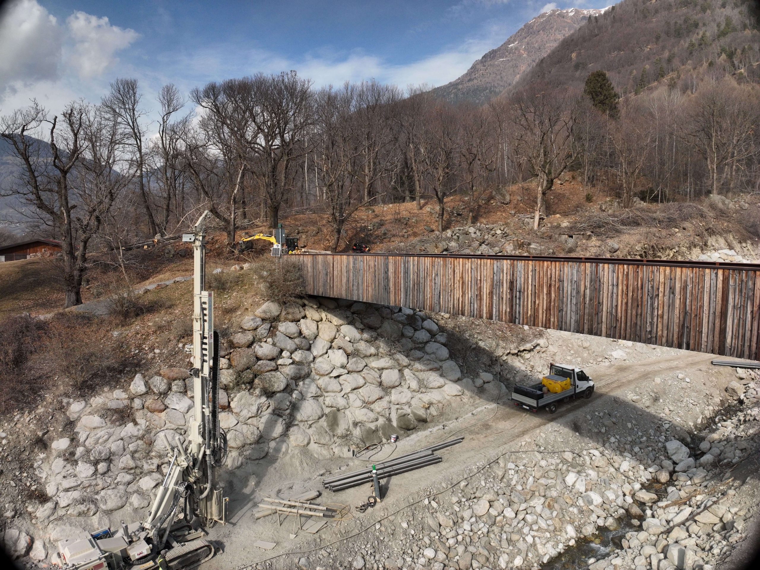
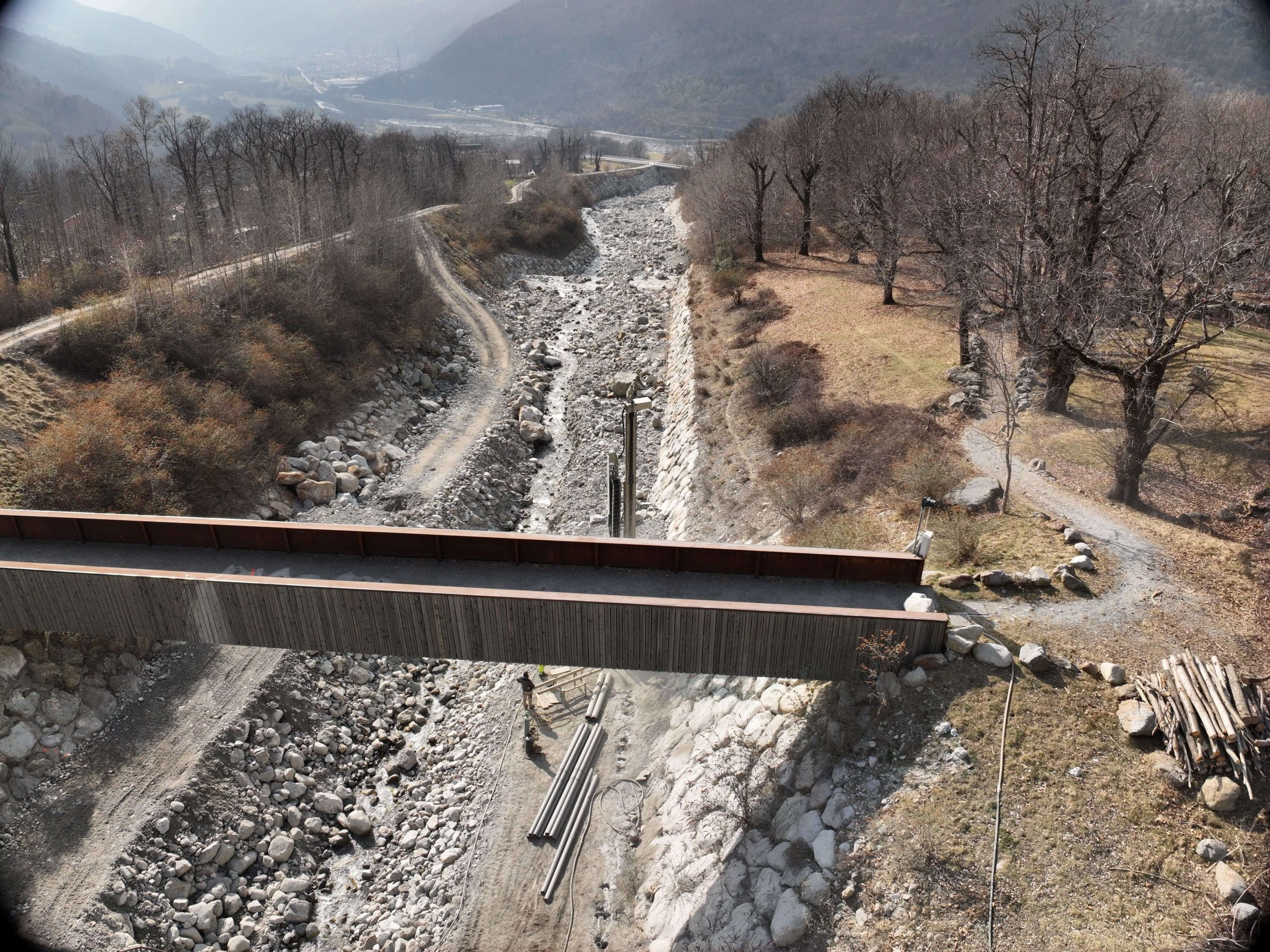
- detailed topographic surveying of two key infrastructures: Ponte Rino and Ponte di Legno.
Equipment Used for the Drone-Based Laser Scanner Survey
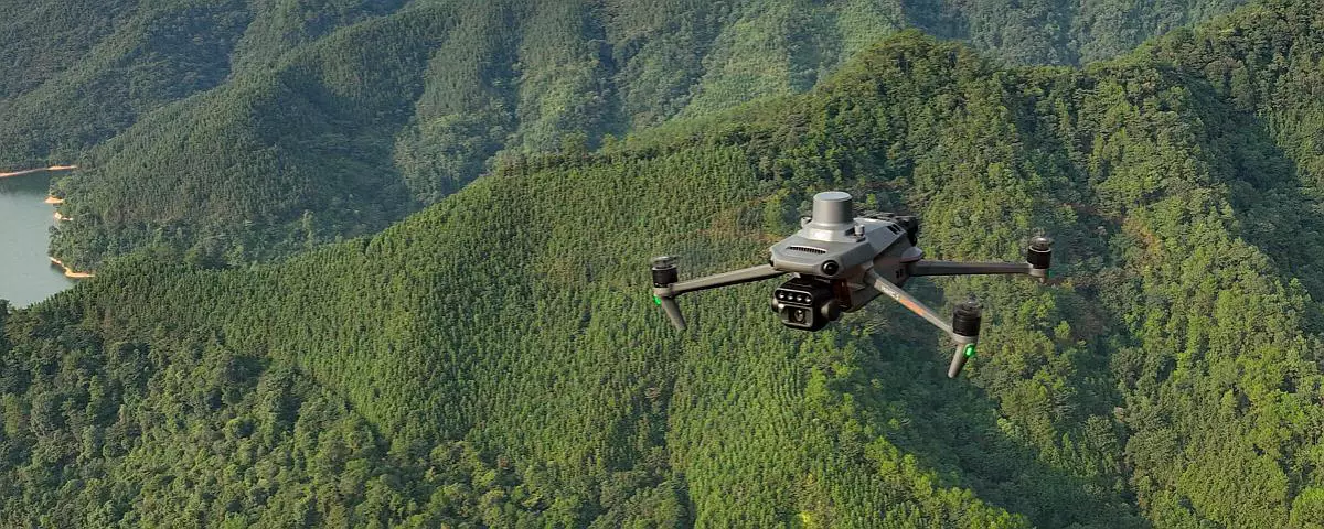
To ensure a high level of accuracy within the complex morphology of the Sonico valley, EPC used a DJI Zenmuse L1 LiDAR sensor integrated with a DJI Matrice 300 RTK aerial platform.
This technology can penetrate dense vegetation, capture the geometry of complex structures and ensure highly accurate data georeferencing. It also allows operators to visualise the three-dimensional point cloud in real time during the flight.
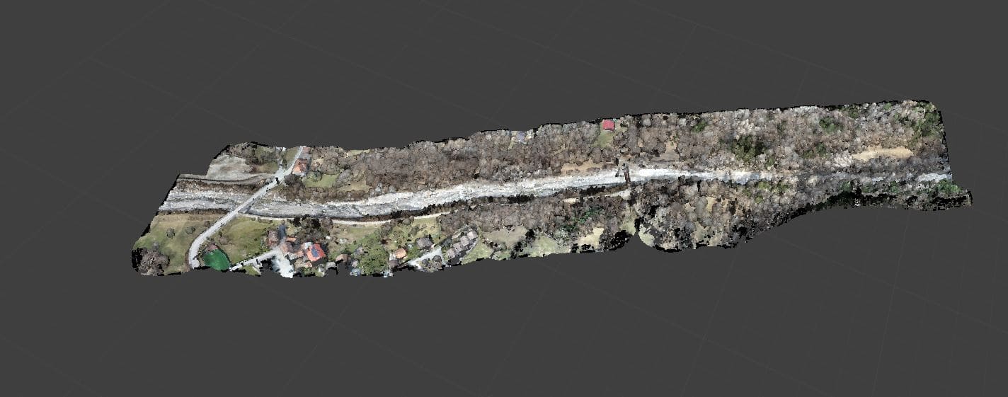
Full cloud of points displayed in color
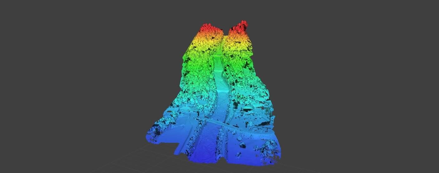
Points cloud – The color scale represents the elevation of the area
Technical Outputs Produced
The processing of the raw data collected during the drone-based laser scanning survey made it possible to produce a series of technical deliverables in standard interoperable formats:
- Raw and resampled point clouds covering the entire area in ASC format;
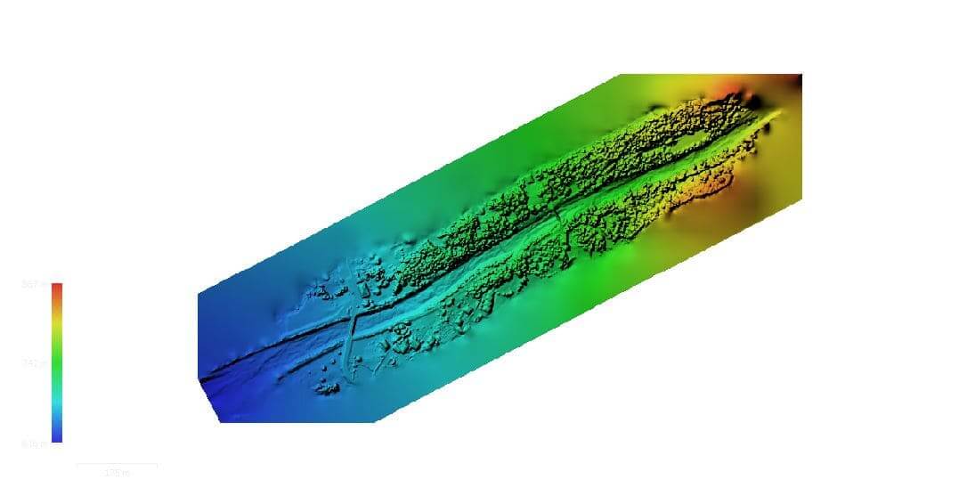
- Digital Terrain Model and Digital Surface Model in TIF/GRID format;
- High-resolution georeferenced orthophoto in TIFF format;
- Topographic cross-sections and elevations of the two bridges located within the Rio Rabbia streambed.
Territorial Management and Risk Prevention
Repeated drone-based laser scanning surveys conducted at different times are essential tools for environmental protection and territorial monitoring.
The resulting three-dimensional digital models support public authorities and technical professionals in:
- preventing natural hazards such as landslides, debris flows and floods;
- protecting local communities, infrastructure and ecosystems in the Val Camonica area;
- planning risk-mitigation measures based on reliable and up-to-date information.
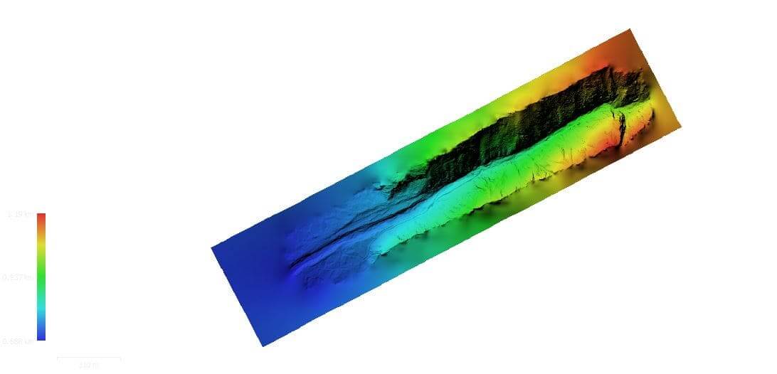
2021 – Digital Terrain Model (DTM)
2025 – Digital Terrain Model (DTM)
2022 – Digital Surface Model (DSM)
2025 – Digital Surface Model (DSM)
For further information about our surveying services, click here.