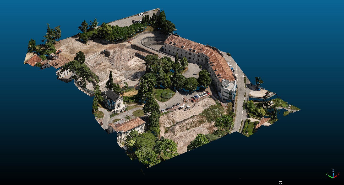
2025 | Remote Sensing Topographic surveys relating to the state of the places, post demolition of the “San Gregorio” center Vedi Progetto
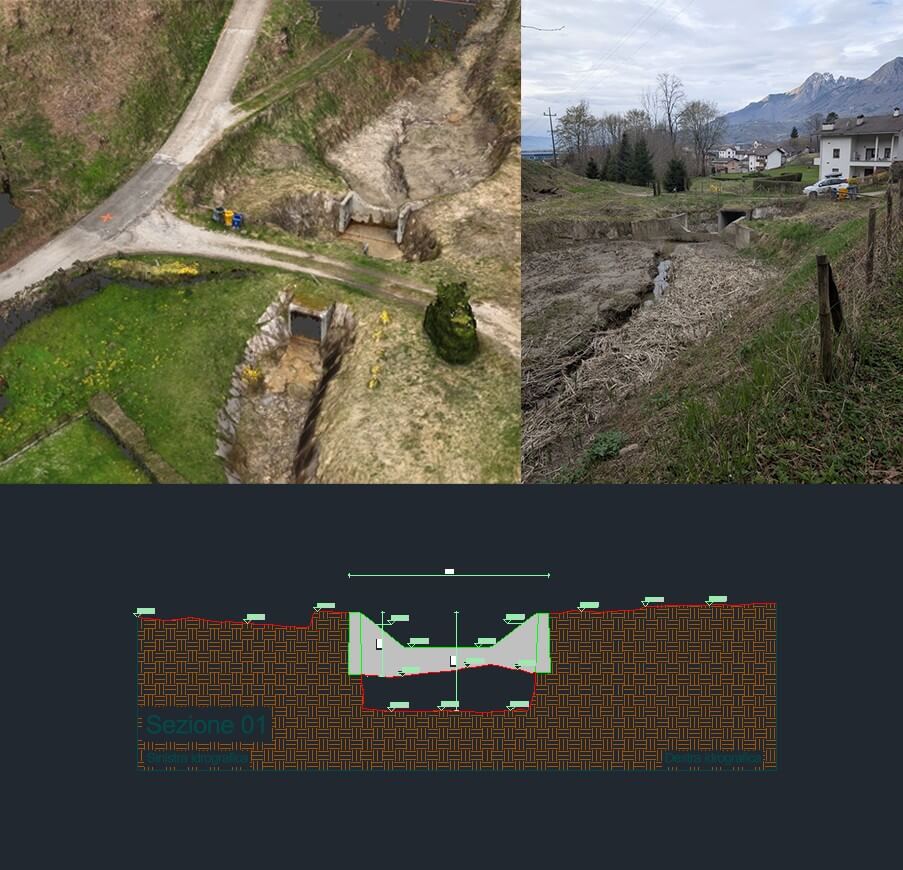
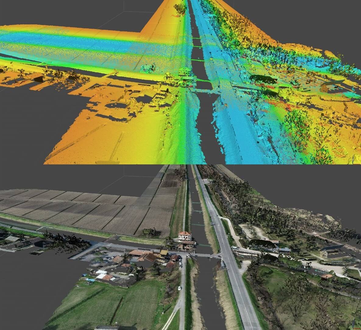
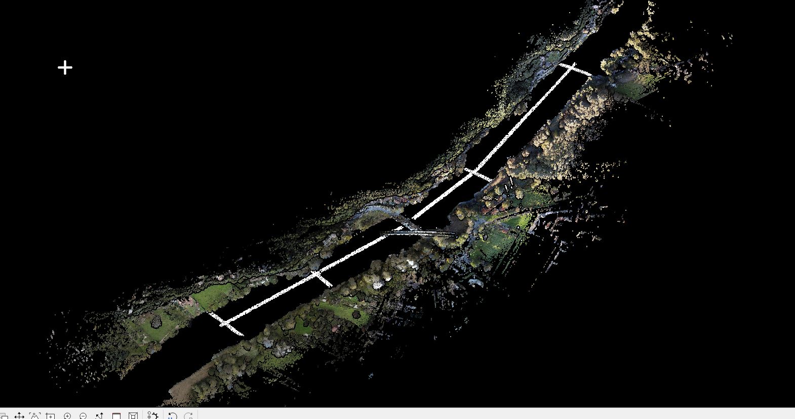
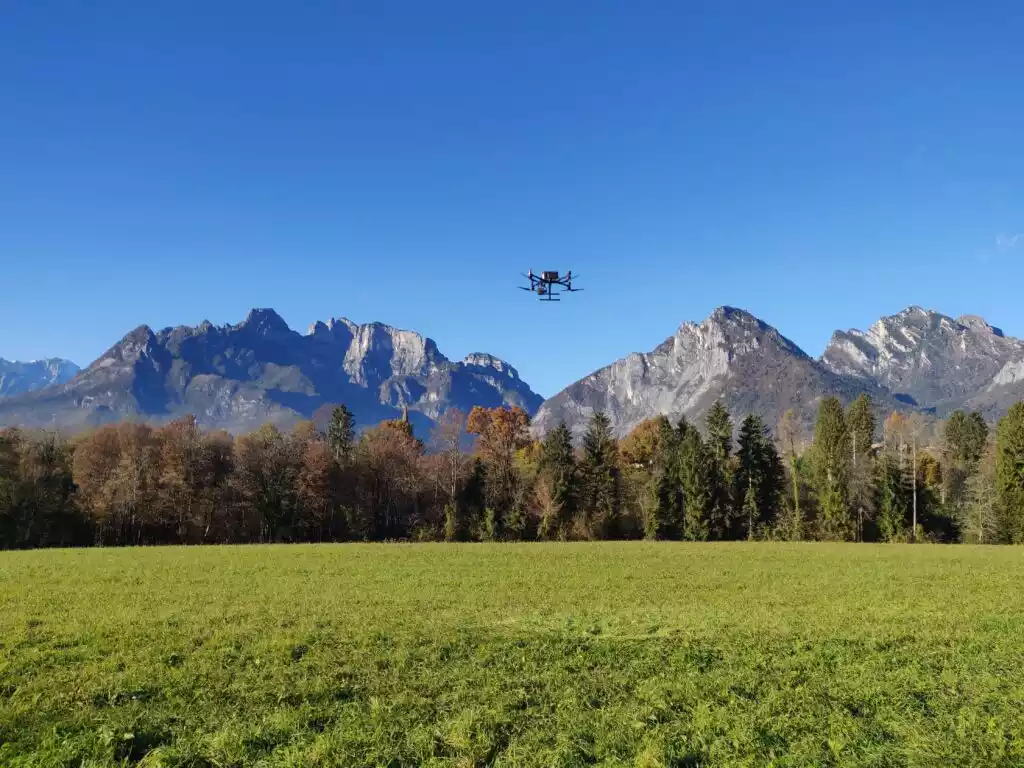
2025 | Remote Sensing Topographic and aerial photogrammetric surveys along a stretch of the Landrisio River Vedi Progetto
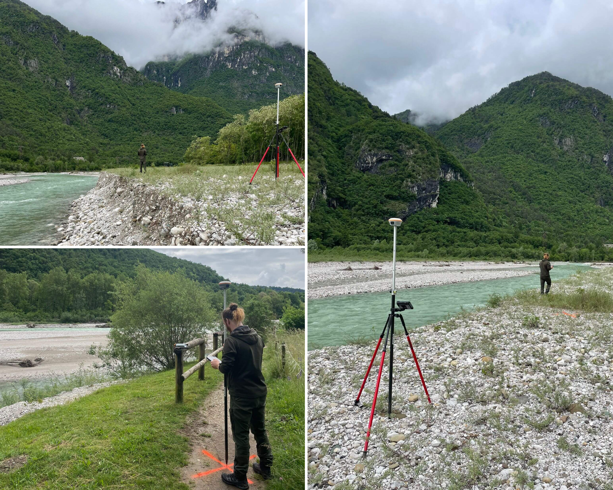
2025 | Remote Sensing Topographic and LiDAR surveys for a stretch of riverbed along the Cordevole River Vedi Progetto
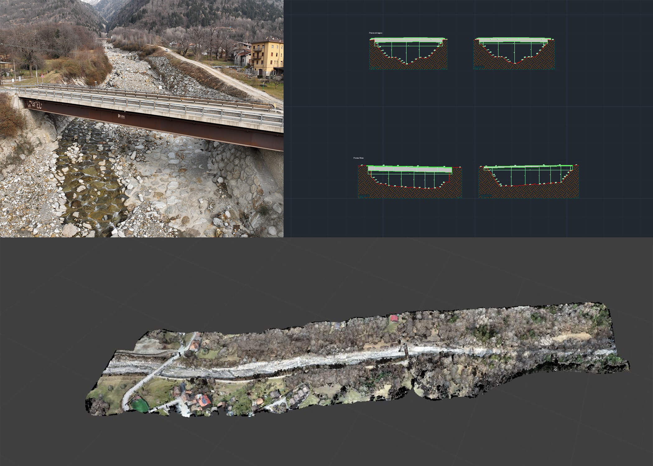
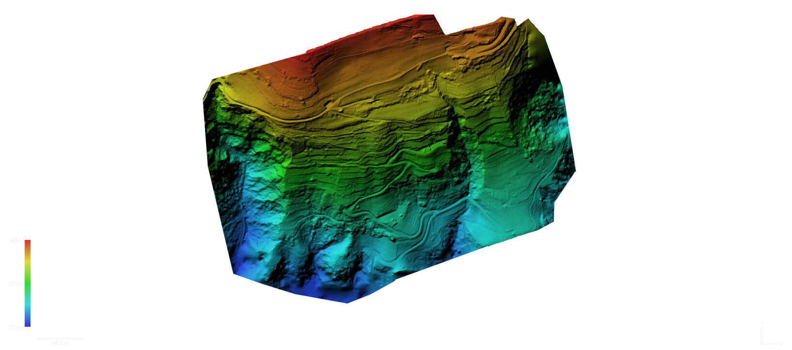
2024 | Remote Sensing Topographic and LIDAR surveys along a stretch of the Rabbia river Vedi Progetto
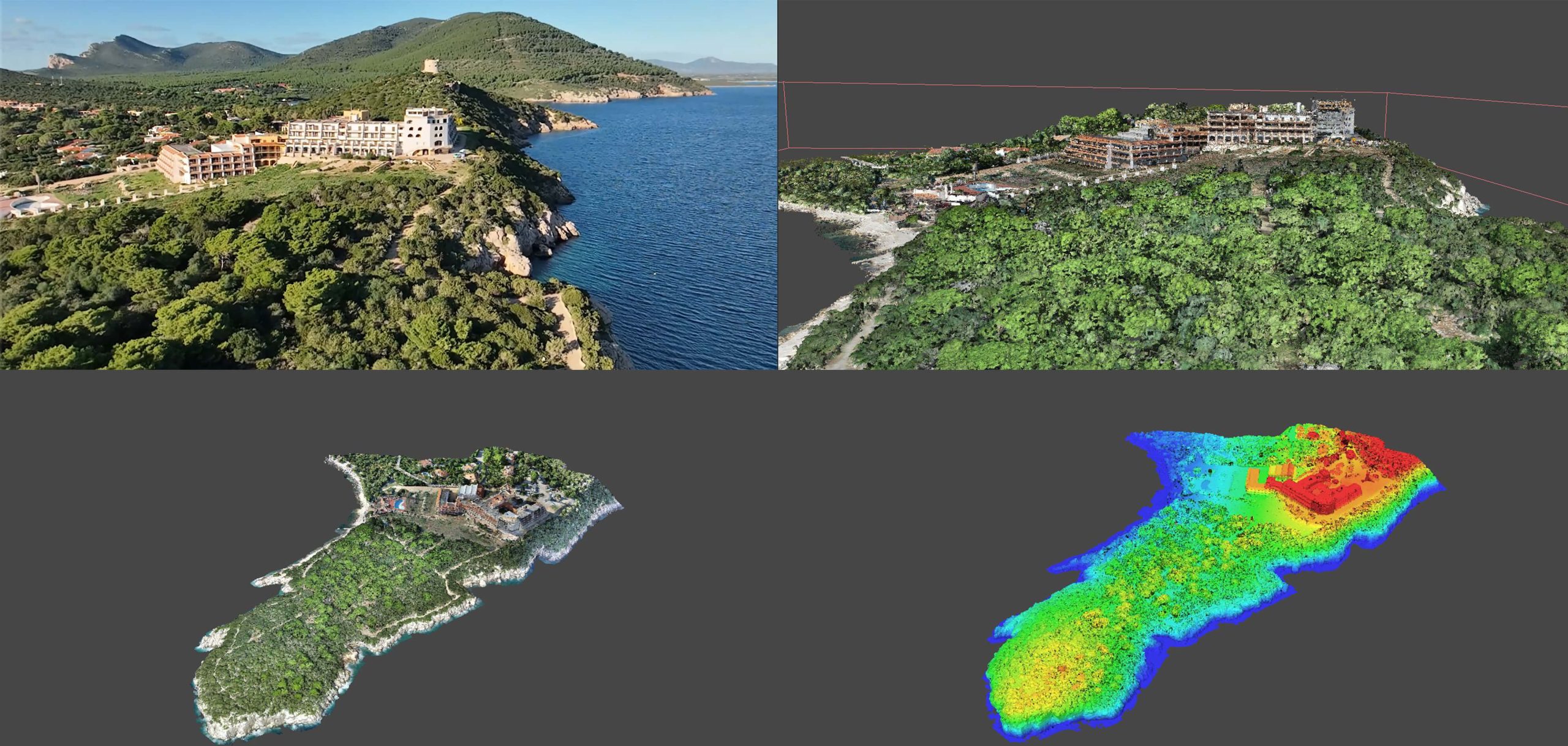
2024 | Remote Sensing LiDAR and aerial photogrammetric surveys of the residential complex “Hotel Capocaccia” Vedi Progetto
2024 | Remote Sensing Topographic, bathymetric and lidar surveys along a stretch of the S.S. 309 “Romea” from km 101 to km 116 Vedi Progetto
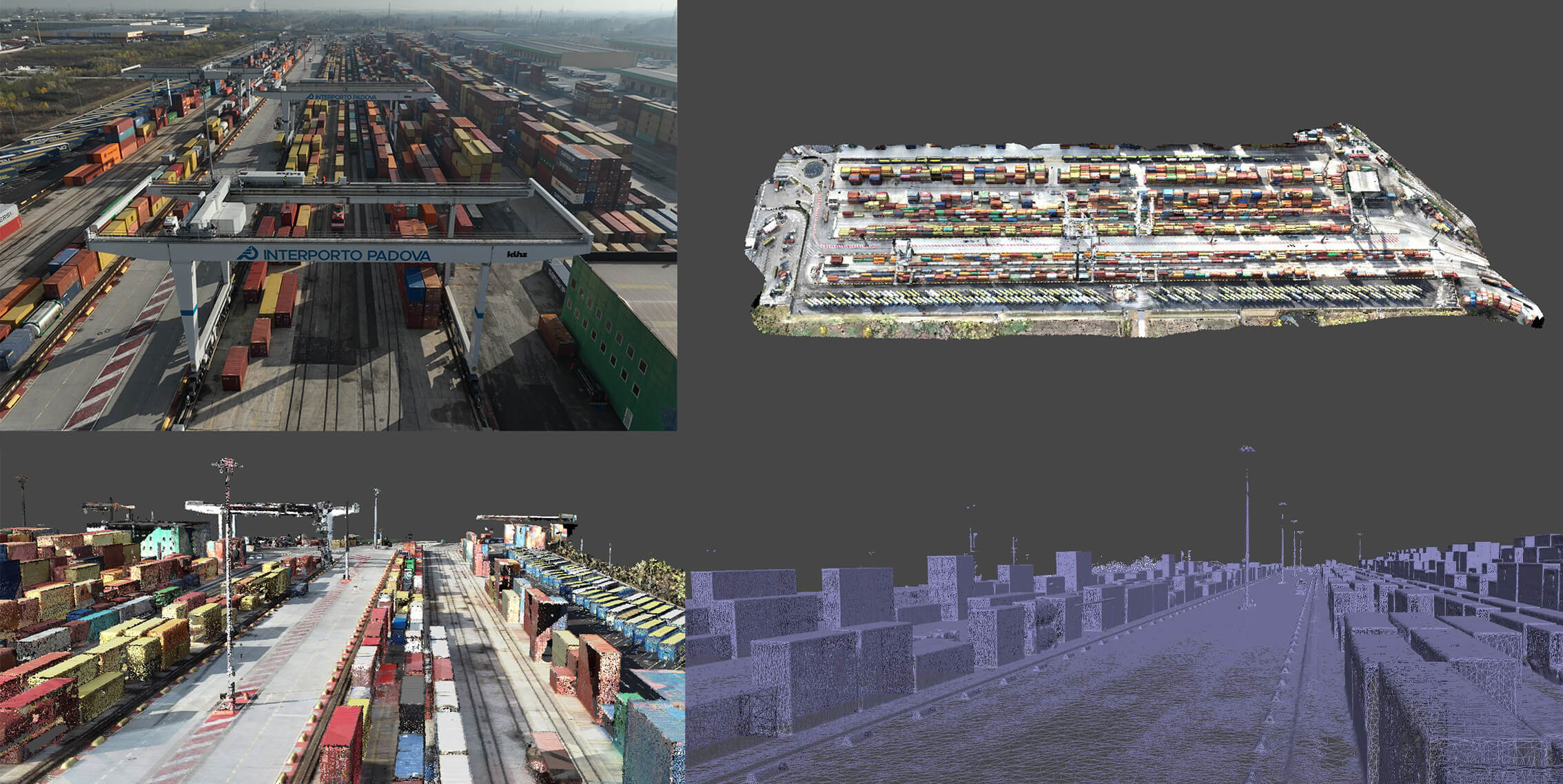
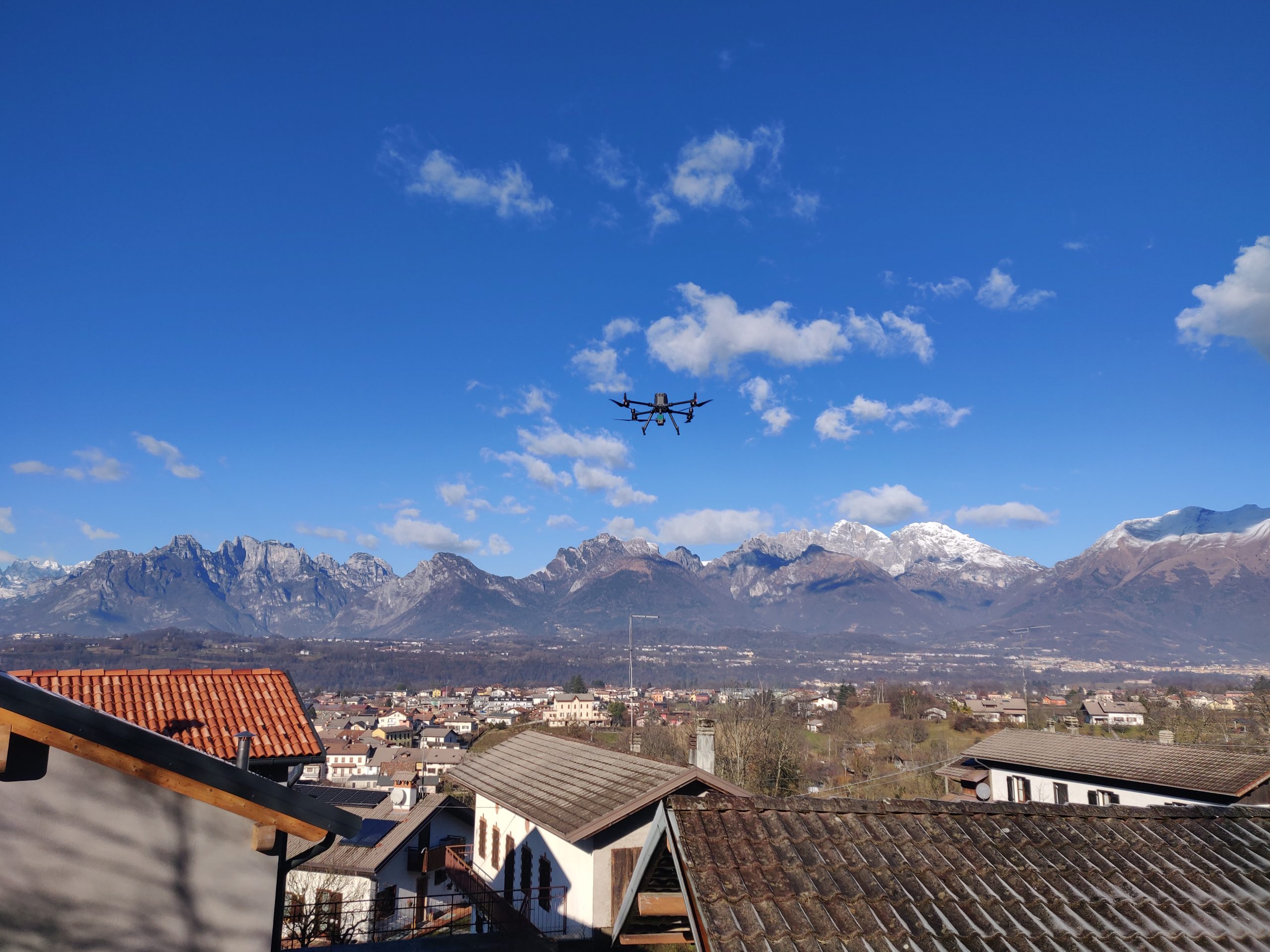
2024 | Remote Sensing Topographic surveys, integrated terrestrial and aerial laser scanners of an area part of the Padua interport Vedi Progetto
2024 | Remote Sensing LiDAR and topographic survey service along the Astico River in Pedemonte Vedi Progetto
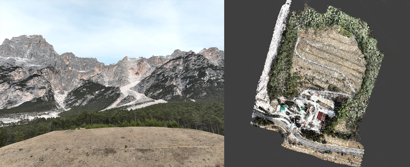
2024 | Remote Sensing Laser scanner survey of the former landfill site called “Vallesella” in San Vito di Cadore Vedi Progetto
2024 | Remote Sensing Bathymetric topographic survey of sections of the Mera riverbed in Lombardy Vedi Progetto
2023 | Remote Sensing, Territory and environment Final and executive design for the safety of the residential side of Via Casetta di Lusiana – Conco Vedi Progetto
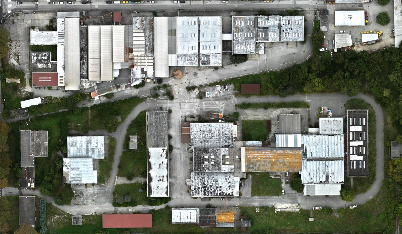
2023 | Remote Sensing Aerophotogrammetric survey of various industrial plants in the municipality of Trieste Vedi Progetto