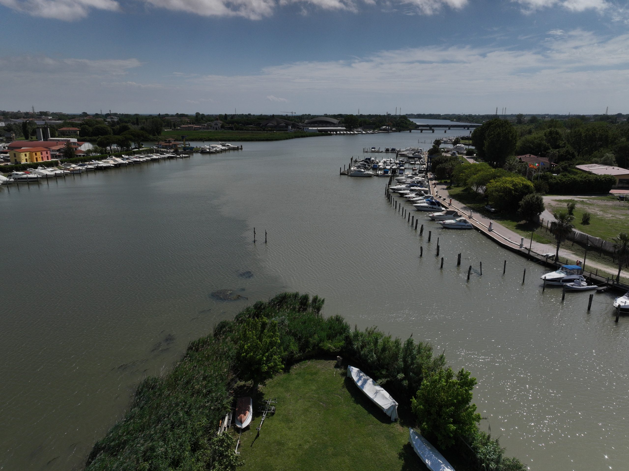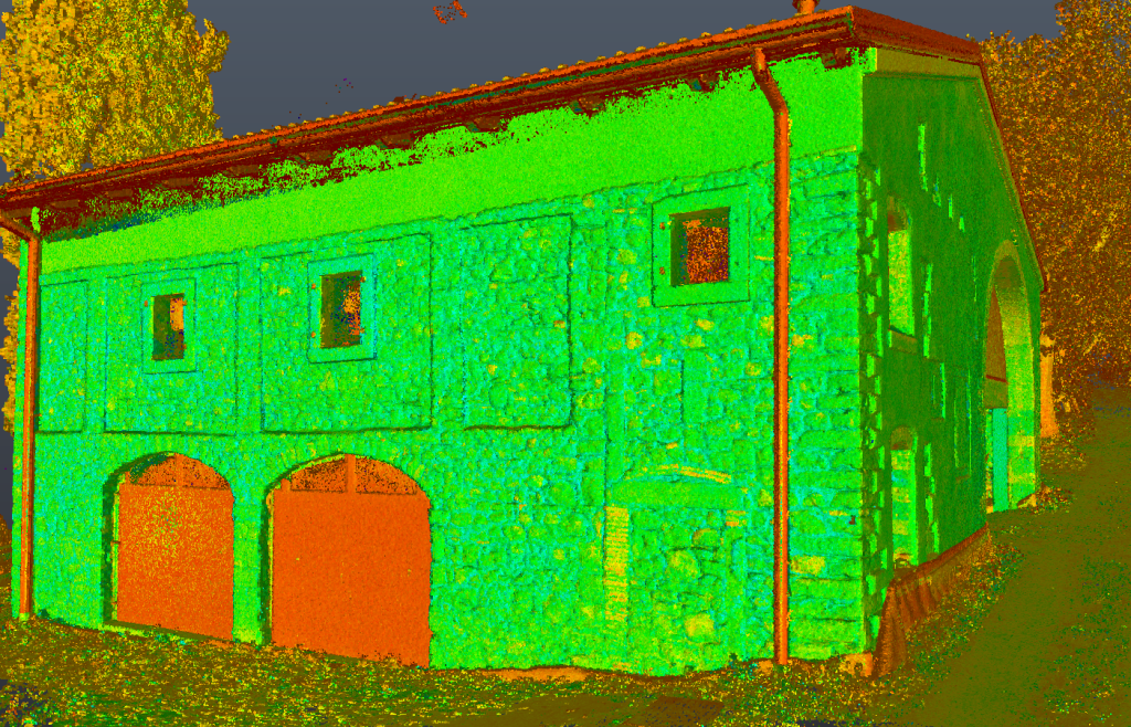
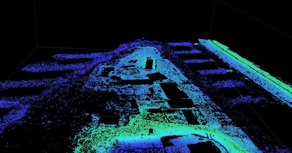
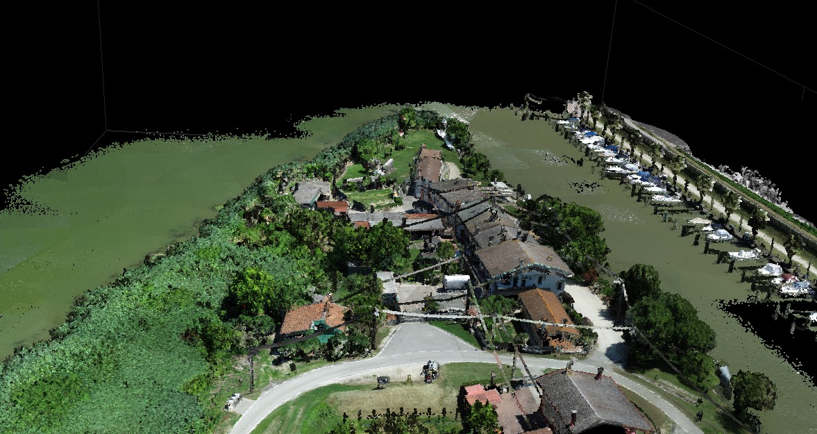
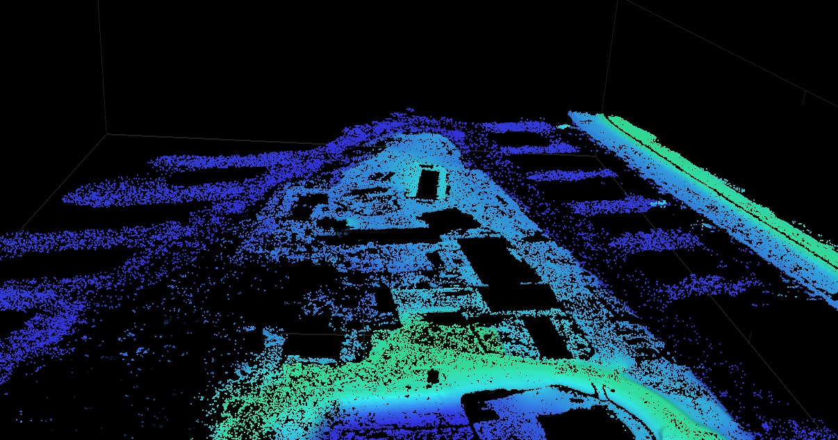
Topographic, aerial photogrammetric, and LiDAR surveys were conducted for a floodplain area in the Municipality of Chioggia, at the Punta Gorzone site.
The total surveyed area covered approximately 10,000 m².
Service objective
The objective of the service was:
- Creation of a Digital Terrain Model (DTM);
- Production of an up-to-date, high-resolution orthophoto map of the site.
Equipment used
The DJI ZENMUSE L1 DJI’s first LiDAR sensor for the Matrice 300 RTK was used to survey the area, while the MAVIC 3 Multispectral was used for aerial photogrammetry (the production of orthophotos).
GPS/RTK equipment was used for ground control points.
Deliverables
Upon completion of the work, the following deliverables were submitted:
- Unfiltered point cloud of the entire surveyed area;
- Digital Terrain Model (DTM) of the surveyed area;
- High-resolution orthophoto maps;
- Survey marker data sheets.