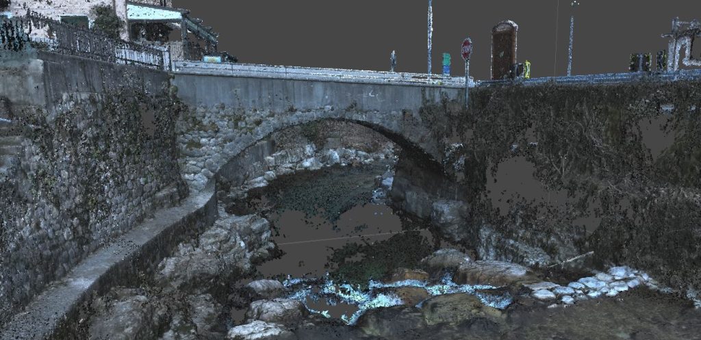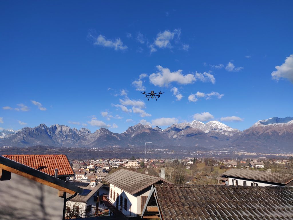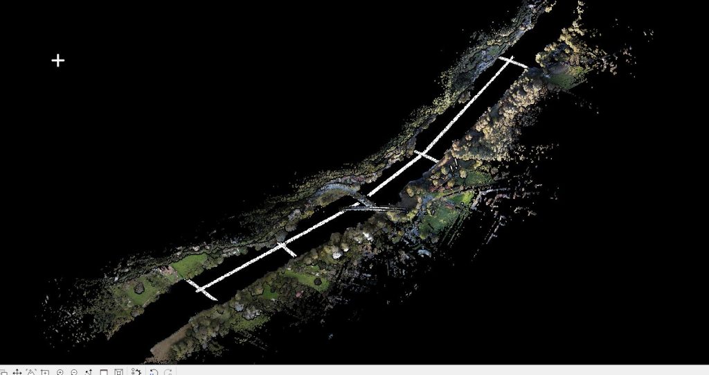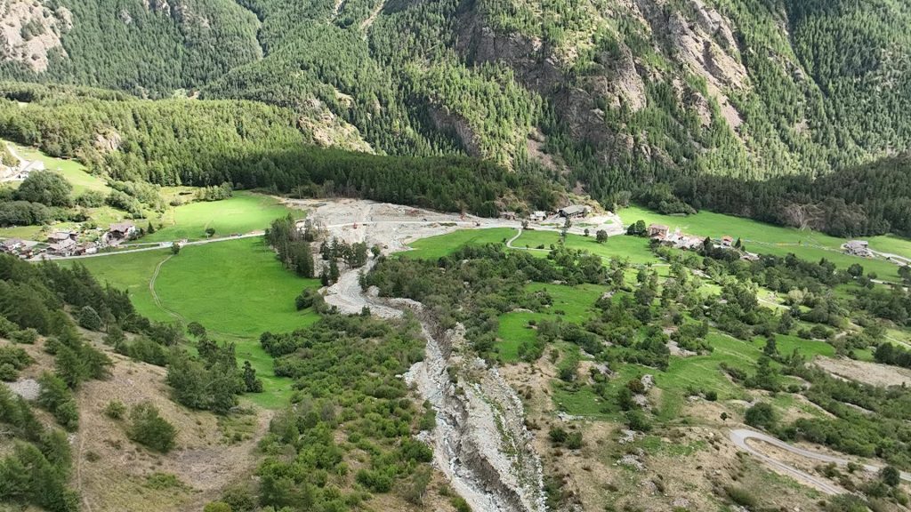
The work was carried out along a stretch of an Alpine alluvial fan in the municipality of Oyace. The survey used the DJI ZENMUSE L1 instrumentation: DJI’s first LiDAR for the Matrice 300 RTK. GPS technology was used to establish target points.
The objectives of the service were the creation of a digital terrain model, the topographic survey of several structures, and the production of an updated orthophoto map.