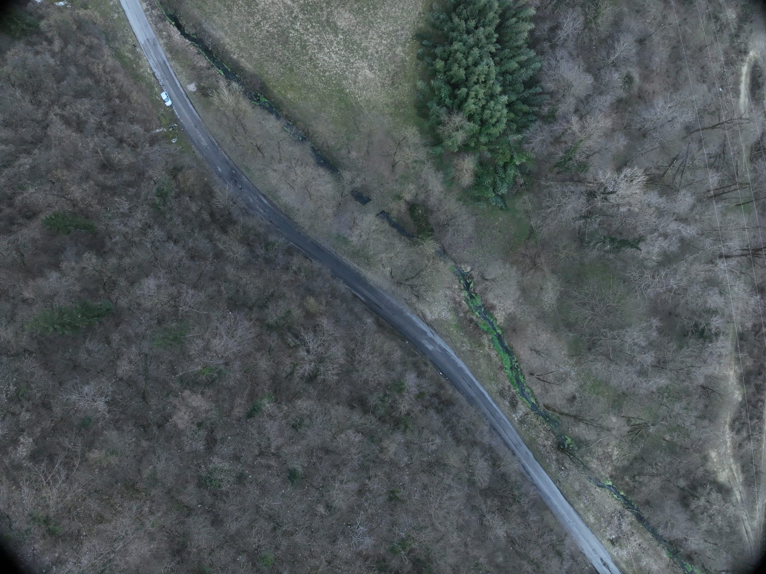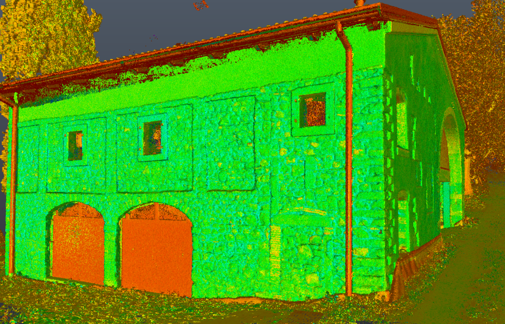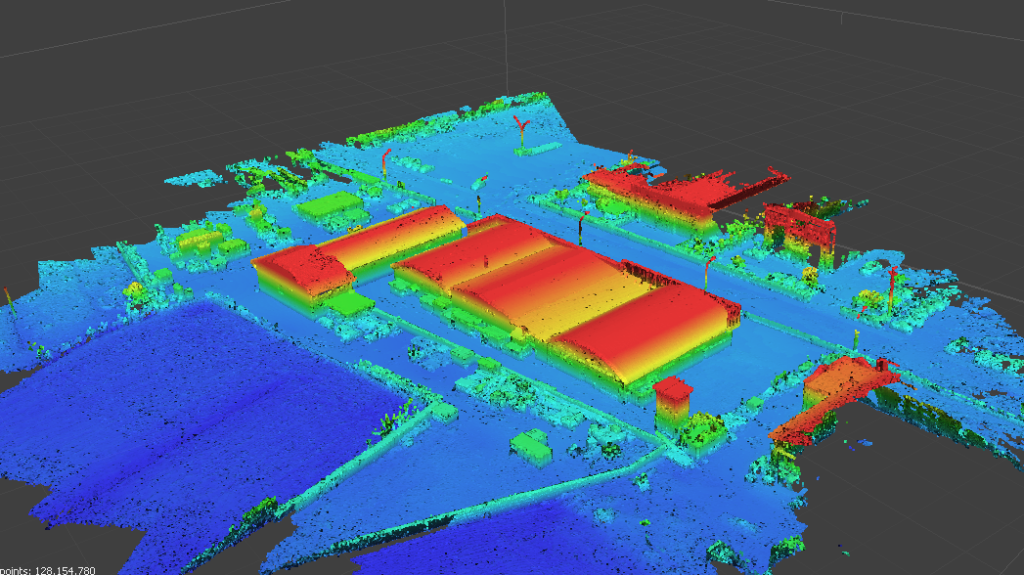
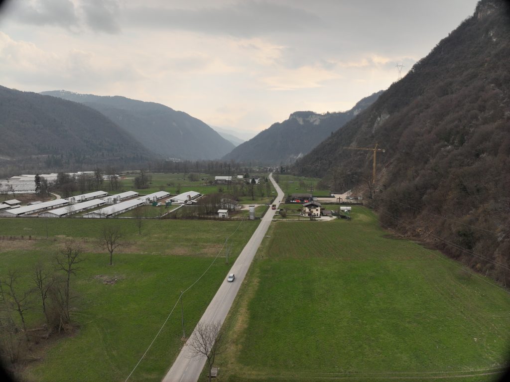
The cadastral, aerial photogrammetric, and LiDAR surveys were conducted in four suburban areas located in the municipality of Fonzaso. The total area of the survey was approximately 49 hectares.
The service objective was to create a digital terrain model of the surveyed areas, produce an orthophoto map, and align the cadastral map.
The following deliverables were delivered:
- Unfiltered point cloud of the entire area surveyed with laser scanner technology;
- Digital Terrain Model (DTM);
- Orthophoto maps;
- Georeferenced and rototranslated cadastral sheets in accordance with the surveys performed