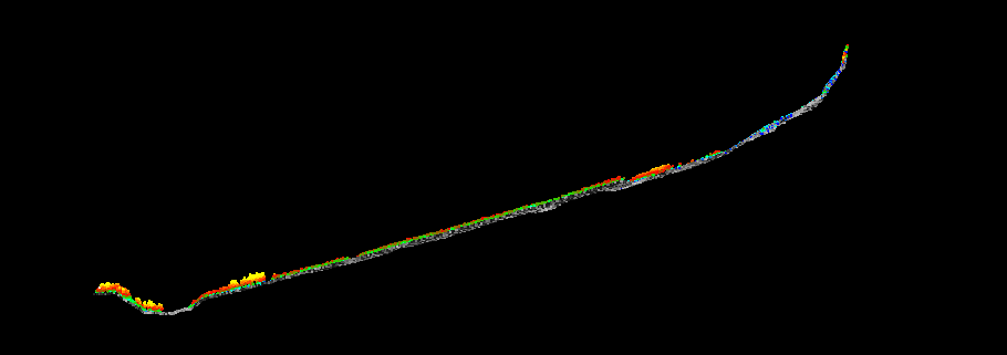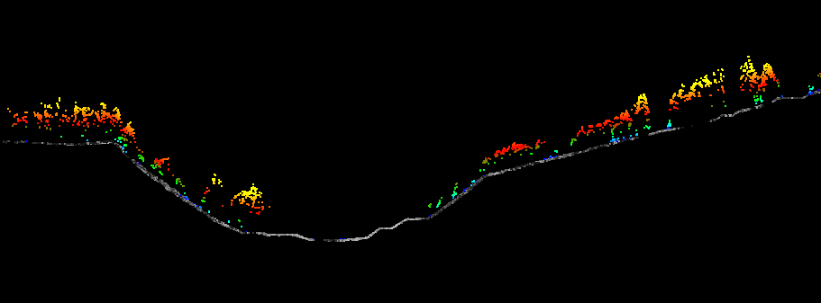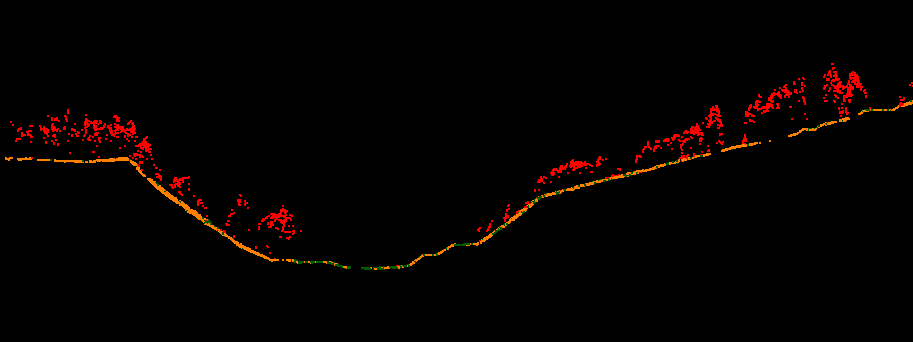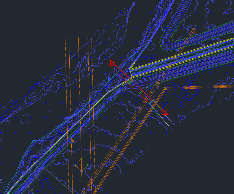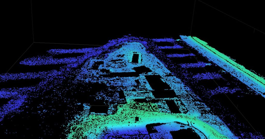
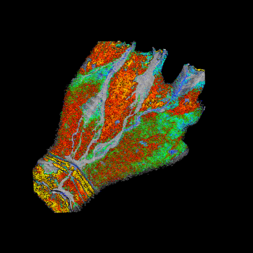
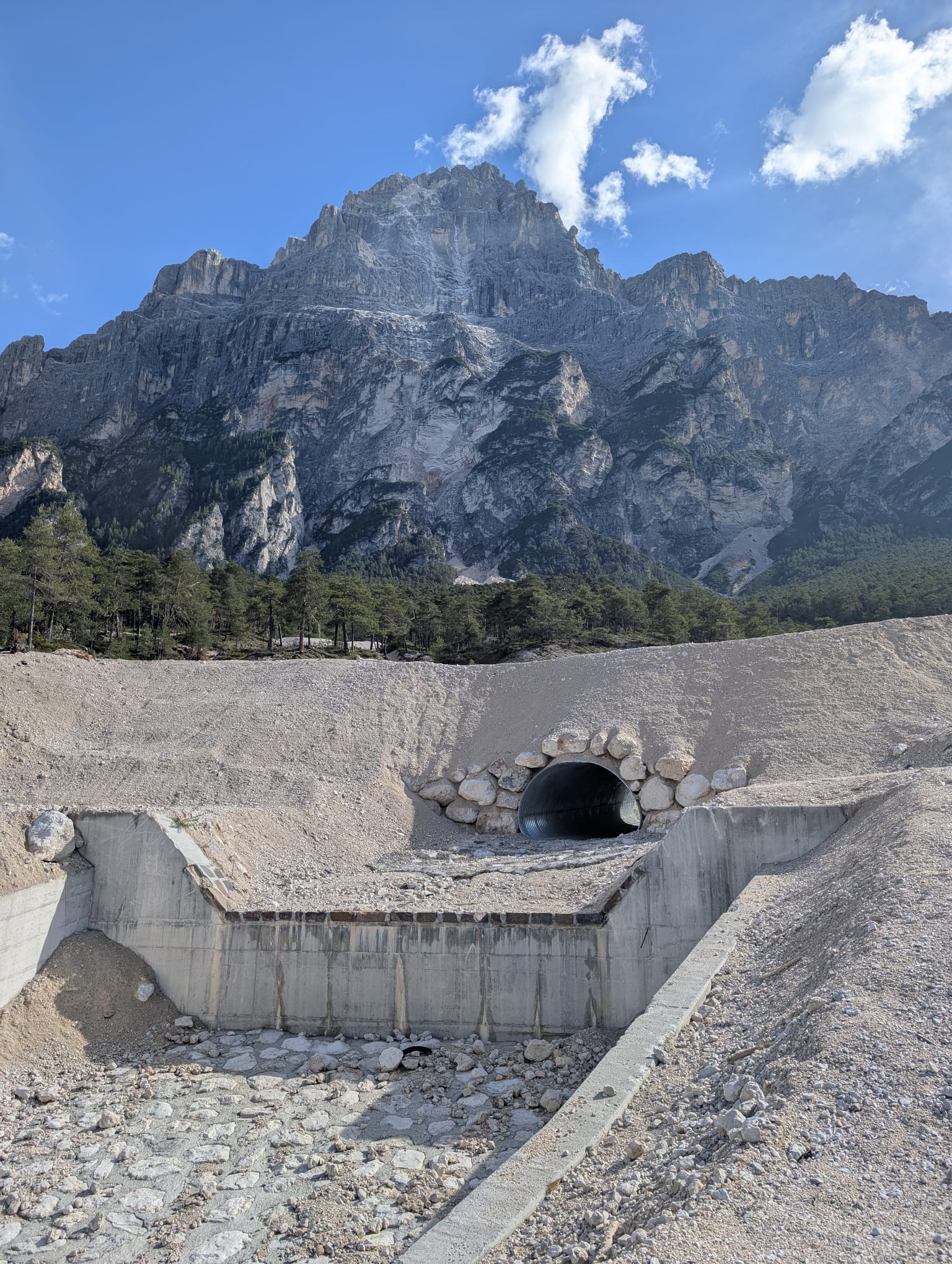
Aerophotogrammetric and LiDAR surveys of the drainage basins associated with Rio Marcora and Ru Secco were conducted in the municipality of San Vito di Cadore (BL).
The objective of the service
The objective of the service was:
- The creation of a digital terrain model (DTM);
- The production of an up-to-date, high-resolution orthophoto map of the area.
A Matrice 300 RTK and a DJI Mavic 3 were used to carry out the aerophotogrammetric and LiDAR surveys of the two distinct areas.
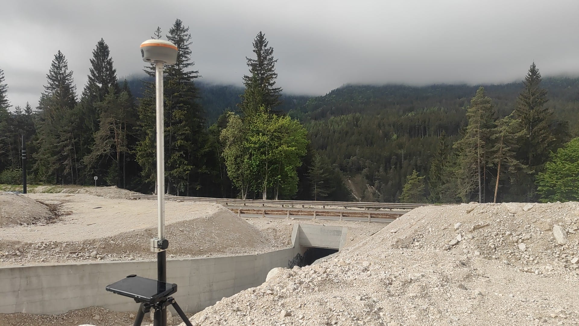
GPS technology in RTK mode was employed for the ground-based placement of target points.
Deliverables:
The deliverables provided were:
- Unfiltered point cloud of the entire surveyed area;
- Digital Terrain Model (DTM) of the surveyed area;
- High-resolution orthophotos;
- Survey control point monographs.