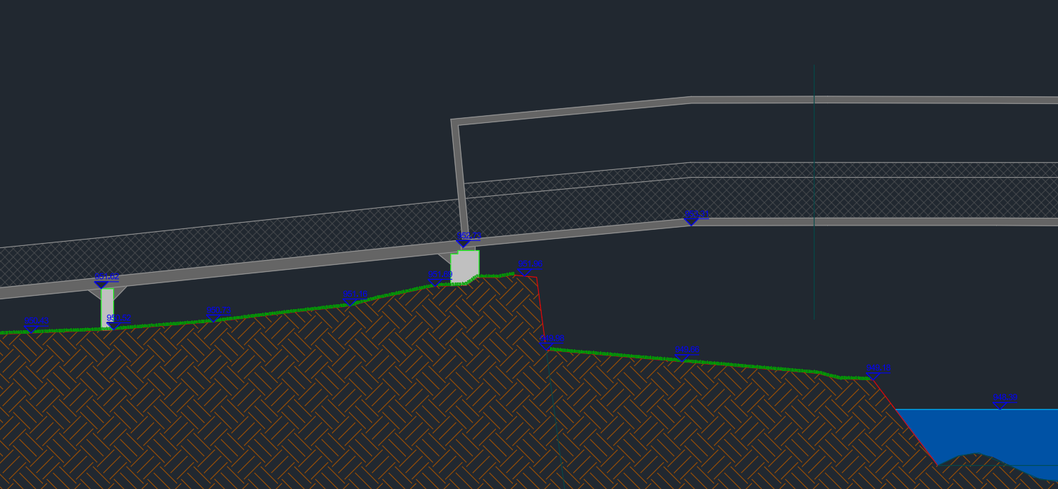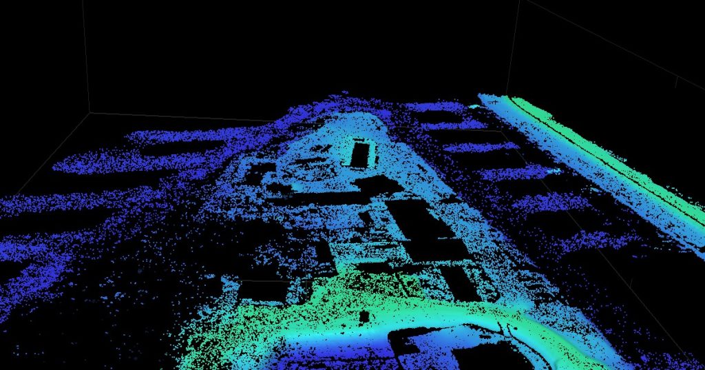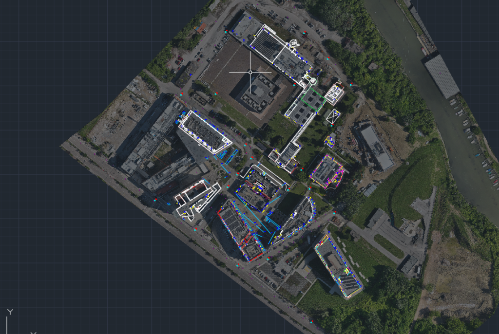
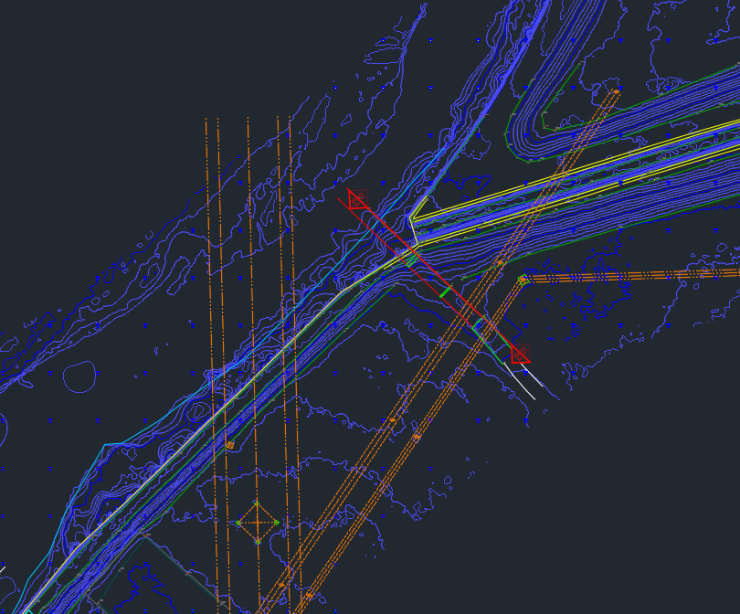
LiDAR and aerial photogrammetric surveys of a section of the Adda stream bed, including a portion of a bank wall, were conducted in the municipality of Sondalo (Sondrio).
Service objectives
The objectives of the service were:
- Creation of a digital terrain model (DTM);
- Generation of orthophotomaps of the areas surveyed using remotely piloted aircraft systems (RPAS/SAPR);
- Planimetric mapping of the surveyed area.
Deliverables
- Unfiltered point cloud of the entire surveyed area (captured via RPAS/SAPR technology) in ASC format;
- Orthophotomaps of the surveyed surfaces with a ground resolution (pixel size) of up to 5 cm;
- Digital Terrain Model (DTM) of the entire surveyed area;
- 1 general planimetric map of the surveyed area;
- Survey control point monographs.