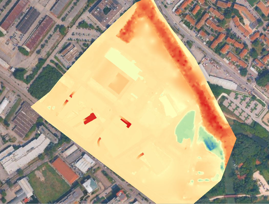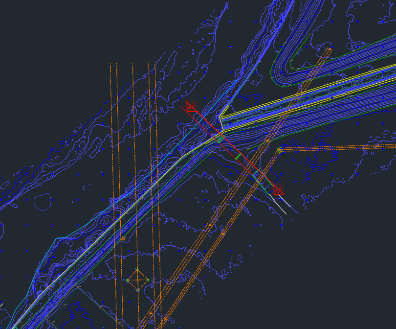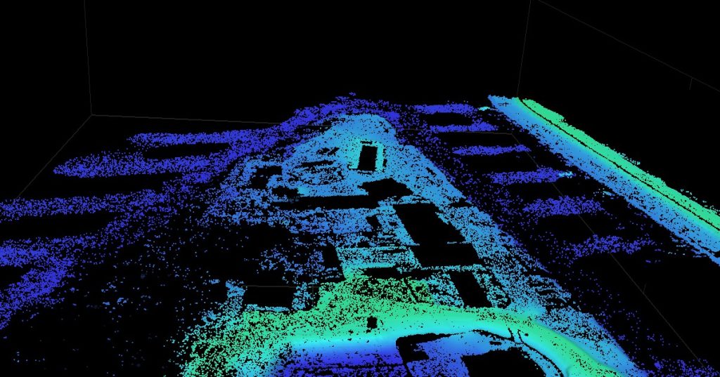
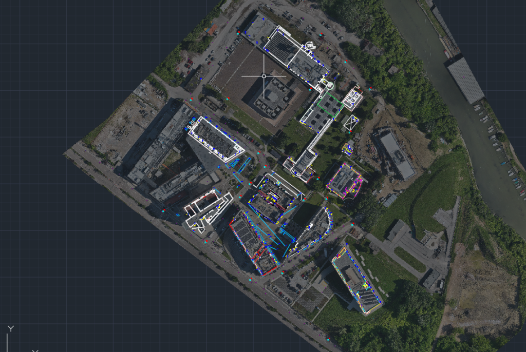
Topographic and aerophotogrammetric surveys of 11 buildings were conducted within the “Ca’ Foscari” university campus, focusing on the documentation of key structural openings (apertures), as well as storm drains, manholes, and hydraulic infrastructure.
Project objectives
The objectives of the service were to:
- Provide the elevation, location, and dimensions of all structural openings at ground-floor level;
- Provide elevation data and locations for storm drains, light wells, and drainage grates situated within the campus grounds;
- Produce an up-to-date, high-resolution orthophoto map of the site.
Deliverables for the topographic and aerophotogrammetric surveys
The deliverables included:
- High-resolution orthophoto maps of the surveyed areas;
- A georeferenced site plan indicating structural openings and underground utility infrastructure;
- Vector-based representations of the 11 buildings;
- Survey control point (benchmark) descriptions.