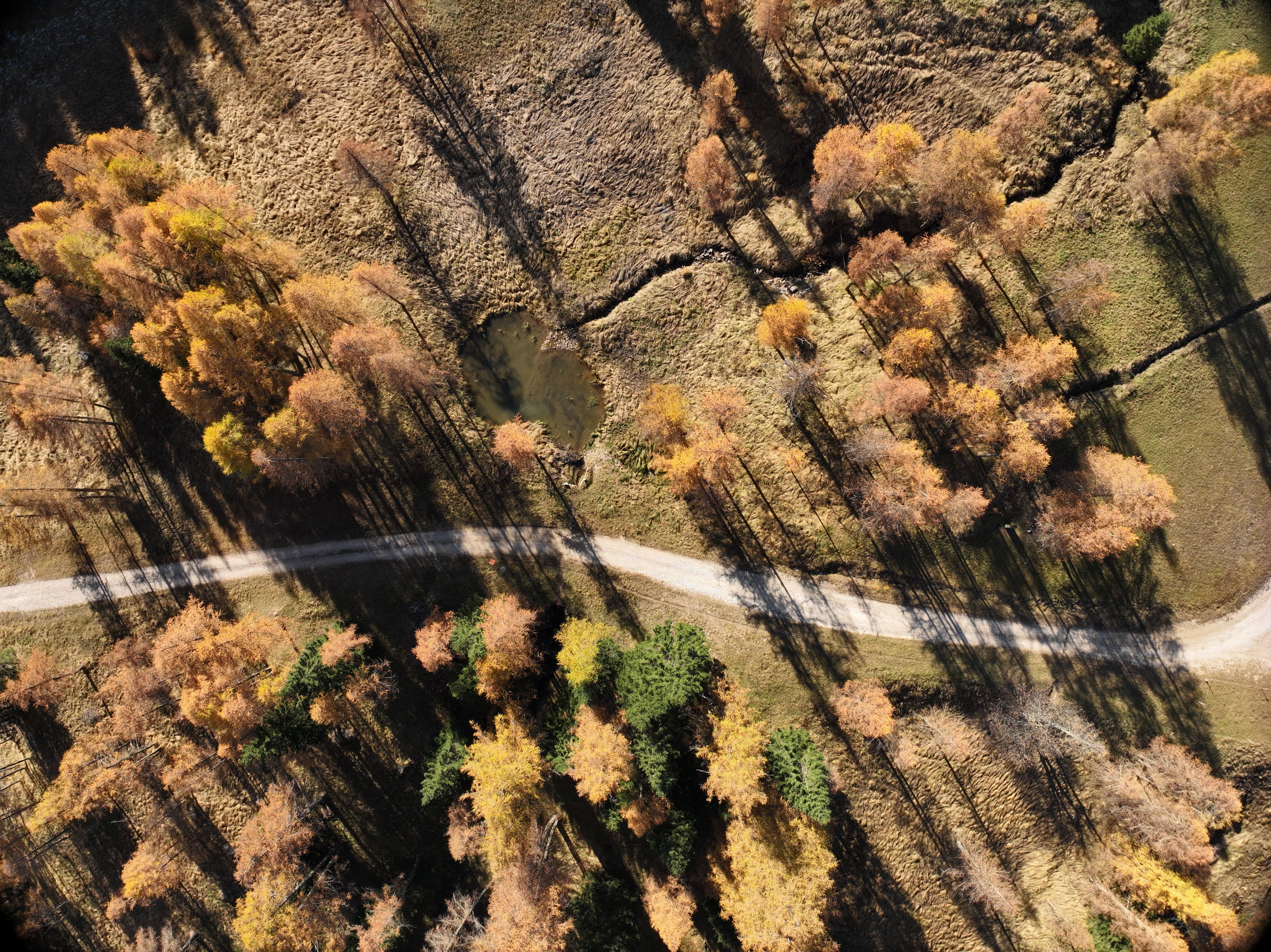
In 2024, the EPC team carried out a detailed drone-based laser scanner survey on behalf of the Municipality of San Vito di Cadore, in the Province of Belluno, at the former inert-waste landfill known as “La Vallesella”.
The site is located on the left side of the Boite Valley, on the southern slopes of Mount Sorapis, and has been subject to several environmental monitoring campaigns since 2011.
Objectives of the Laser Scanner Survey
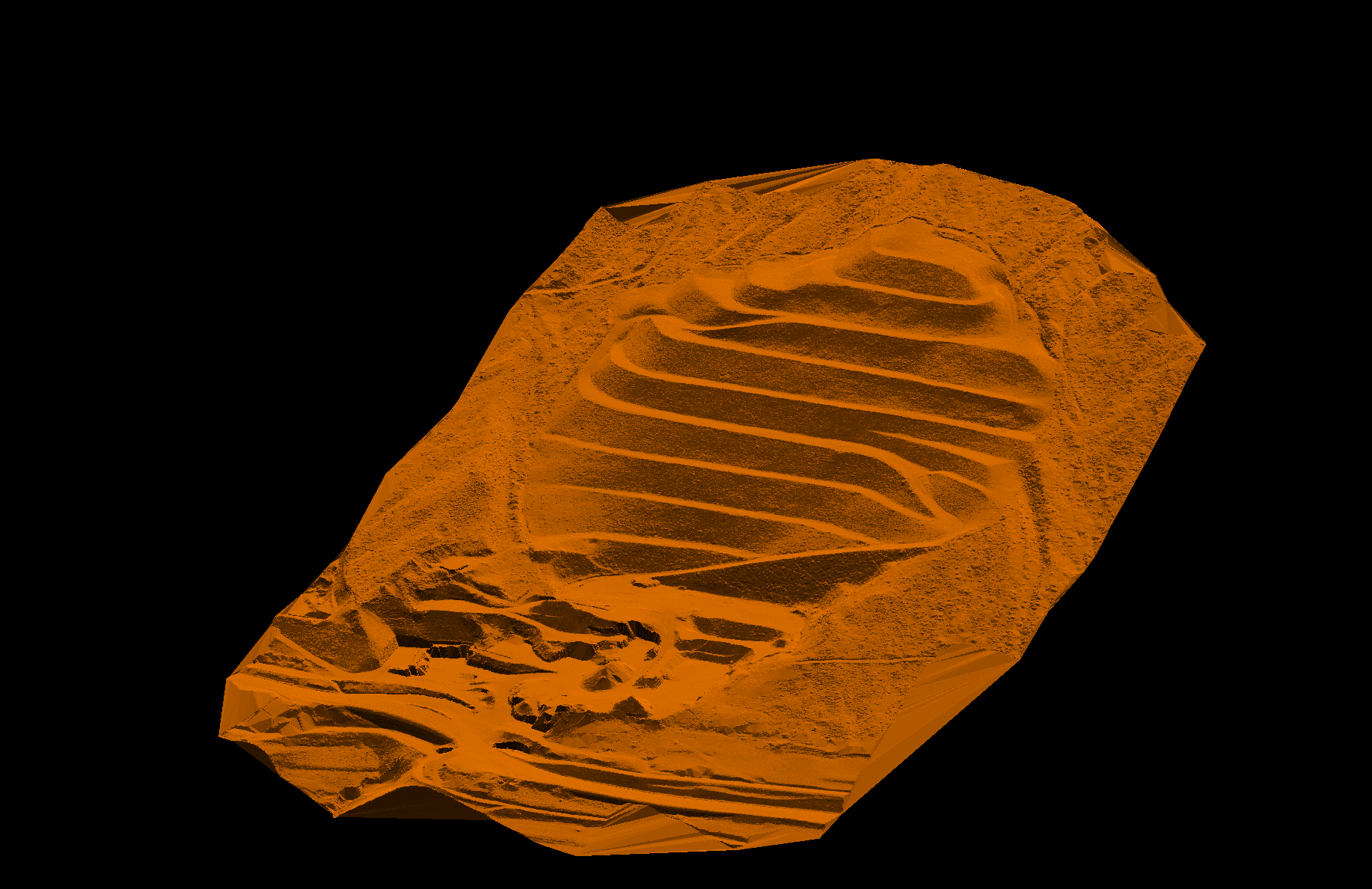
The main objective of the drone-based laser scanner survey was to identify any morphological changes in the site compared with previous surveys and provide high-quality data representing its current condition.
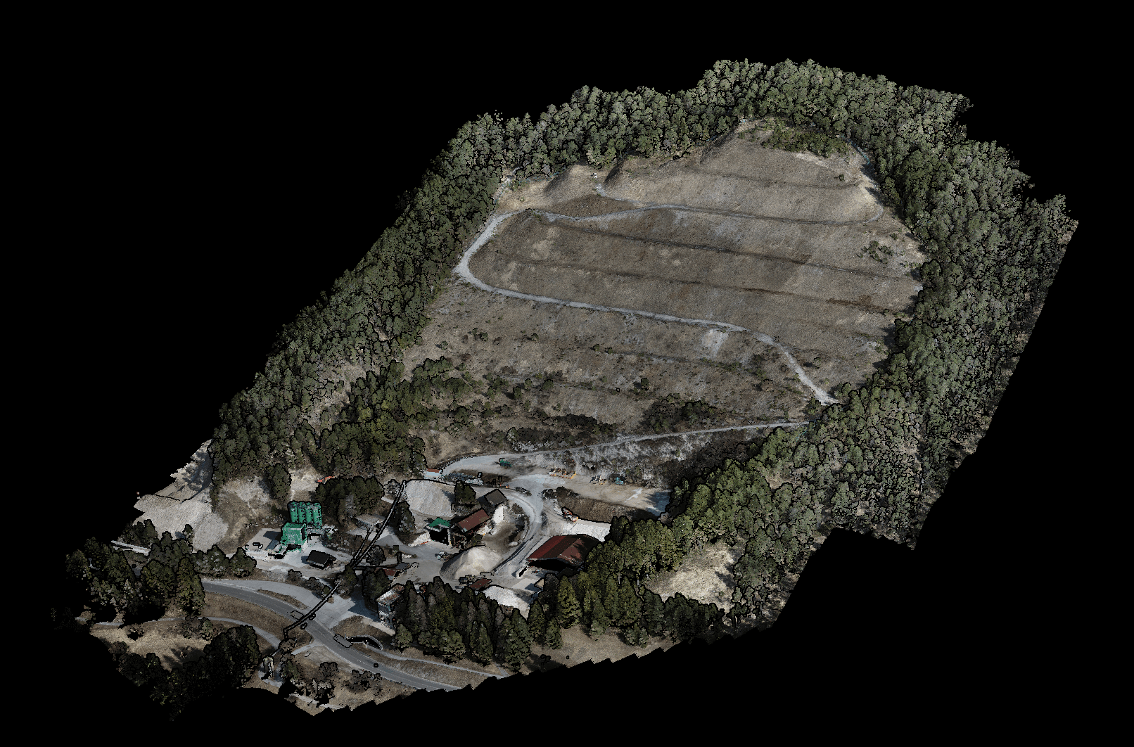
In particular, the survey produced:
- a georeferenced three-dimensional point cloud;

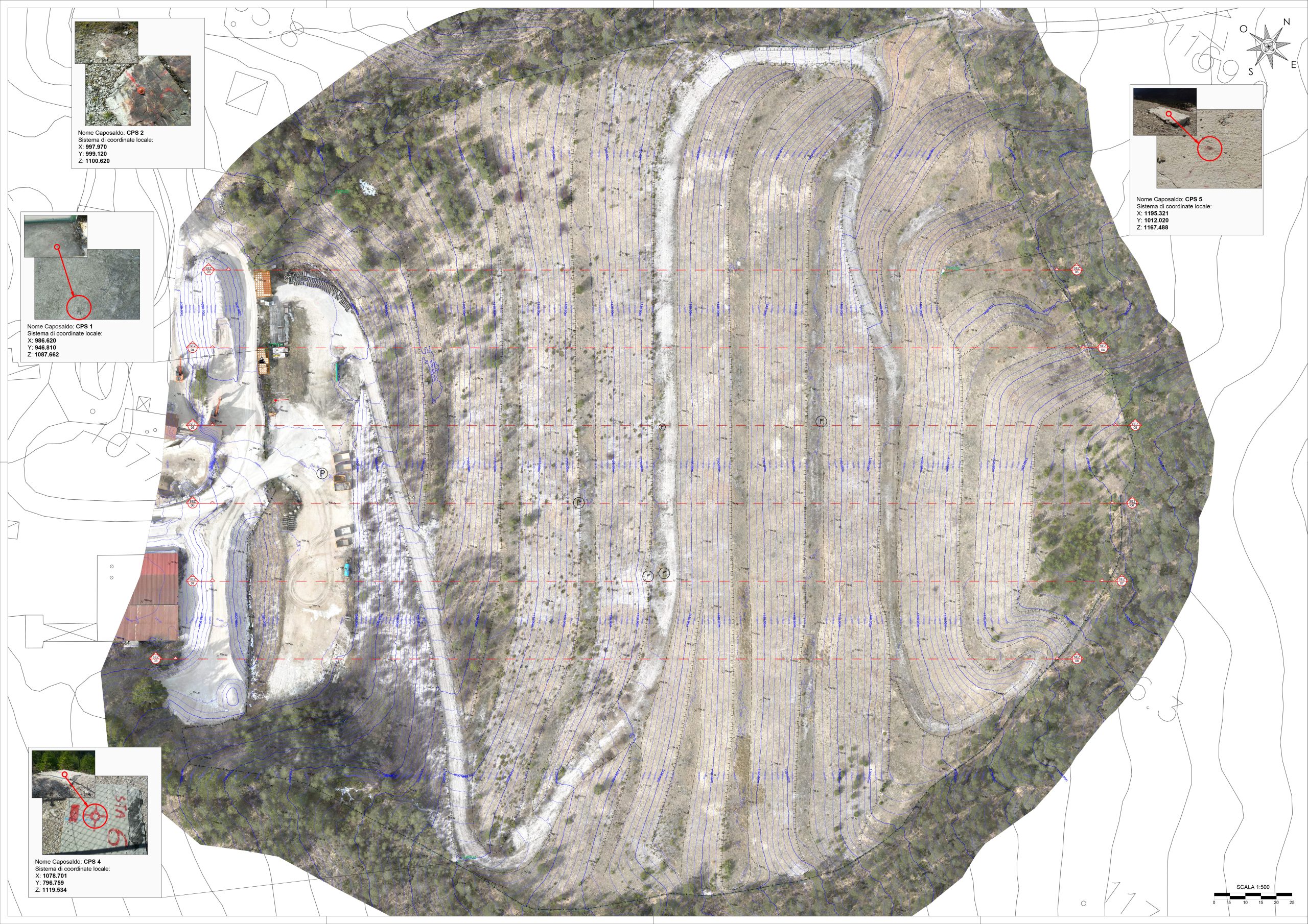
- a detailed site plan including three-dimensional contour lines and cross-sections.
Equipment Used: Drone and LiDAR Technology
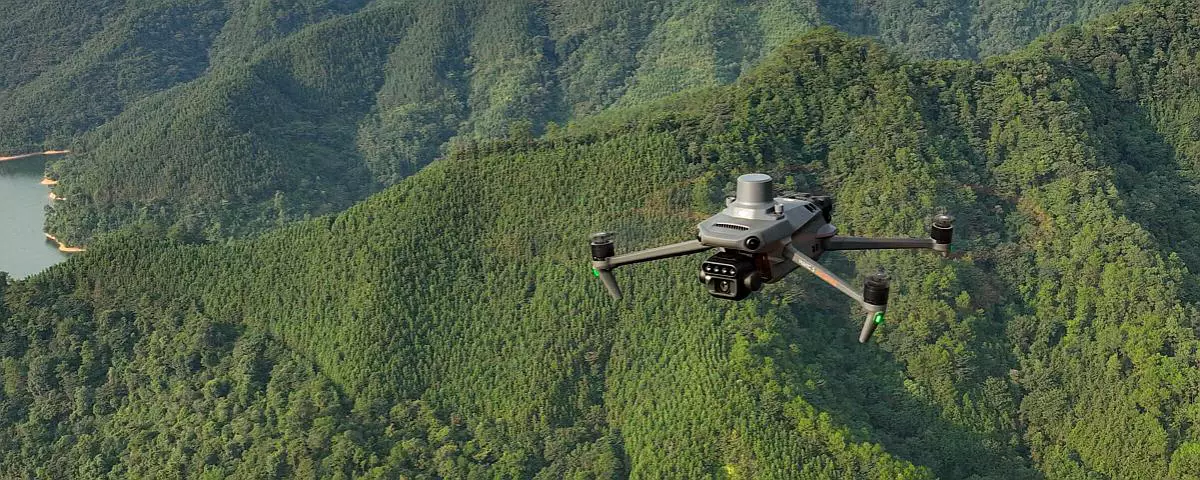
For the drone-based laser scanner survey, EPC selected the DJI Zenmuse L1, DJI’s first LiDAR sensor integrated with the Matrice 300 RTK platform.
The Matrice 300 RTK is a powerful industrial drone equipped with an advanced flight-control system, six-directional sensing and positioning, and an FPV camera. Accurate georeferencing of the collected data is ensured by the integrated RTK module, which provides centimetre-level positioning information.
The Zenmuse L1 payload combines a LiDAR module, a high-precision IMU and a camera equipped with a 20 MP CMOS sensor. When used with DJI Terra software, it provides a complete solution for generating three-dimensional data in real time, allowing critical decisions to be made rapidly in the field.
Survey Methodology and Data Processing
The drone-based laser scanner survey was carried out according to a detailed preliminary plan developed on the basis of the site’s terrain morphology.
Flight operations followed a pattern of straight flight lines. The Matrice 300 RTK performed automatic periodic calibrations to ensure optimal accuracy between overlapping survey strips.
Data georeferencing was further refined through the use of a ground-based GPS antenna. The post-processing activities included:
- preliminary data processing and point-cloud generation;
- transformation of the coordinates into the official reference system, EPSG:7791, followed by rotation and translation into the client’s local coordinate system;
- processing of the LiDAR point clouds, including noise reduction and classification of ground points separately from vegetation and structures;
- verification of horizontal and vertical accuracy.
Final Deliverables
The final products delivered to the Municipality included:
- point clouds;
- Digital Elevation Models;
- detailed orthophotos;
- CAD drawings, including a terrain surface generated from a Digital Terrain Model with 10 cm cells, represented through one-metre contour lines, together with historical monitoring cross-sections.
Conclusions
The survey carried out at the former “La Vallesella” landfill provided the Municipality of San Vito di Cadore with a clear overview of the site’s evolution, supporting future planning and monitoring activities.
The use of advanced drone-based remote-sensing technologies contributes to improving territorial management and environmental protection.
For further information, please contact us. Click here.