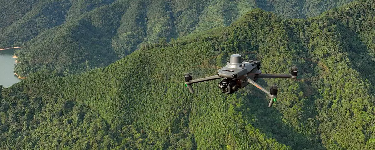
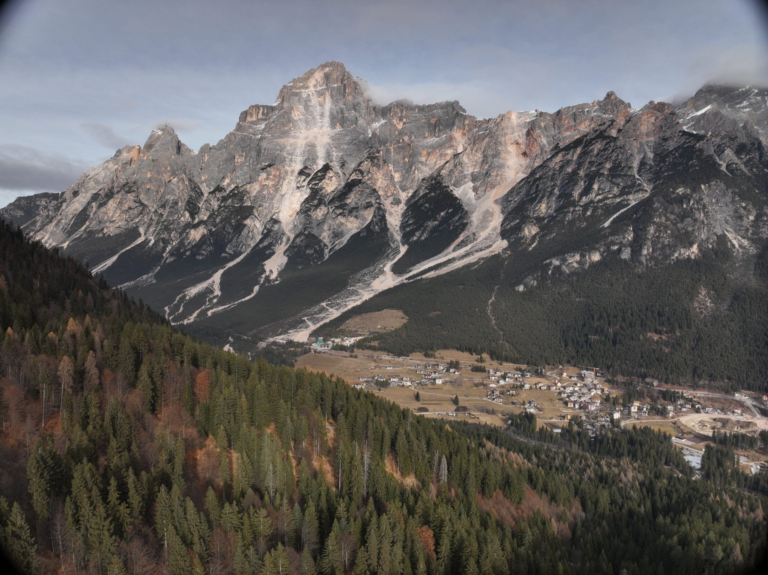
Drones and surveys in remote areas are a fundamental element in geographical contexts characterized by isolated territories and complex mountainous areas. The often rugged morphology of the terrain introduces highly critical elements that slow down operational effectiveness and increase exposure to hazards.
The limits of traditional reliefs in mountainous and isolated territories
Conducting technical activities in remote environments regularly encounters hostile environmental factors:
- Extremely steep slopes that make it difficult to position and navigate traditional equipment.
- Dense vegetation that impedes proper visibility or the reception of ground signals.
- Interrupted or impassable forest roads that block logistical access for vehicles and technicians.
- Unstable or dangerous areas that, if physically approached, can expose personnel to significant risks.
These issues not only cause an inevitable increase in execution times, but also significantly increase overall operating costs.
The Advantages of Drones and Surveying in Remote Areas
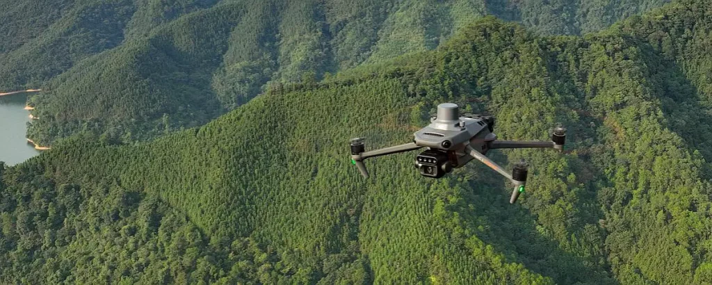
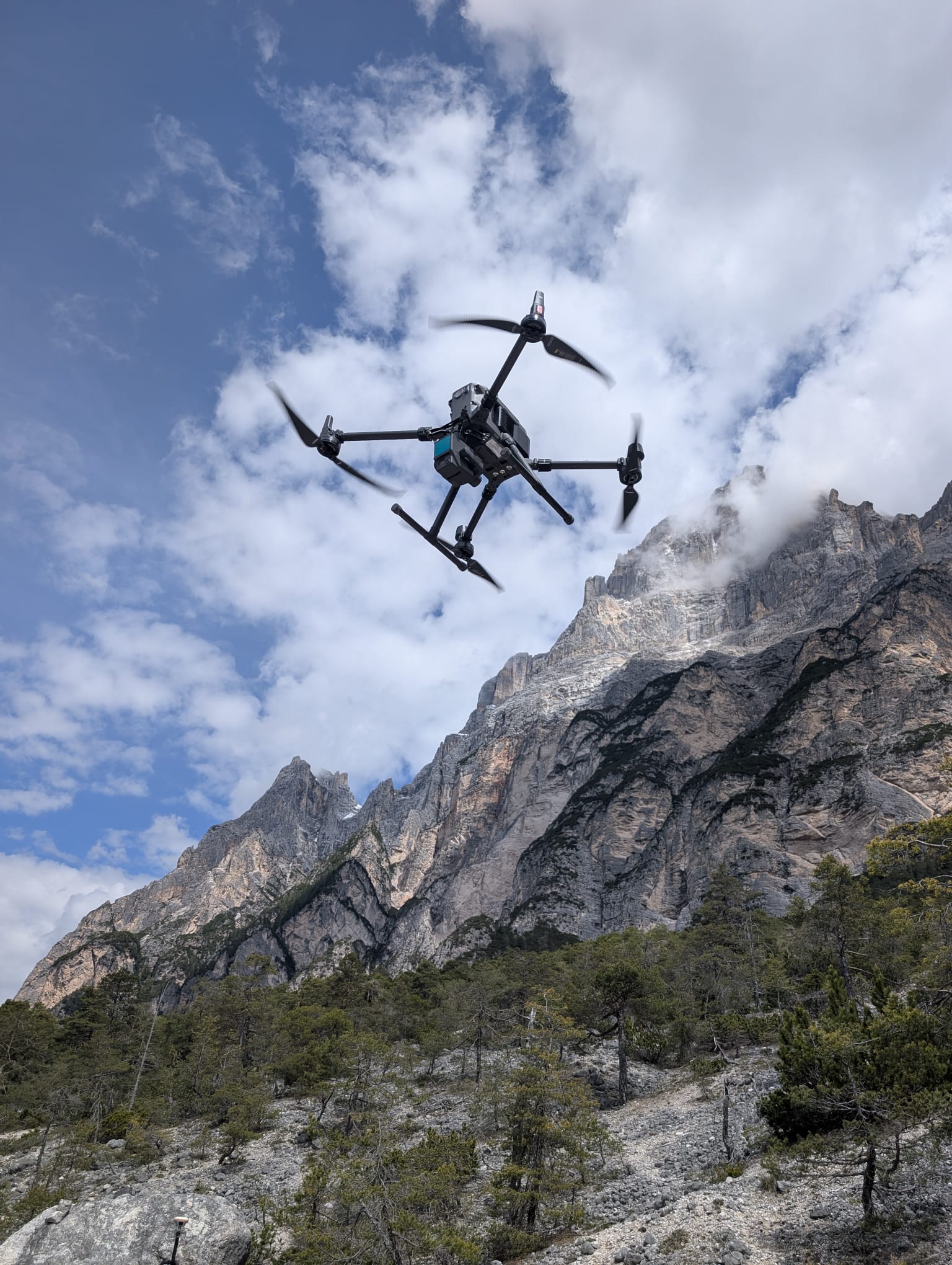
In this scenery, the use of drones and surveying in remote areas represents an extraordinarily effective technological solution. Drones allow physical terrain obstacles to be overcome thanks to their ability to fly over completely inaccessible areas and operate even within extremely confined spaces. This allows for precise access to points that would otherwise be completely inaccessible by land, ensuring highly detailed documentation of the territory.
The adoption of this methodology introduces two immediate, concrete advantages:
- Reduction in survey times: scanning and data acquisition processes are significantly accelerated compared to traditional methods.
- Maximum safety for operators: direct access by personnel to unstable slopes or areas exposed to landslides, rockfall, and other instability is drastically limited
Technical outputs: aerial photogrammetry and digital modeling
Through the application of drones and surveys in remote areas, the information captured by onboard sensors is processed to generate a series of high-precision digital products. The main outputs include:
- Georeferenced orthophotos, essential for cartographic framing and spatial data overlay.
- Three-dimensional point clouds, which accurately represent the geometry of the surveyed space.
- Digital terrain models, essential for studying elevation changes while excluding surface features.
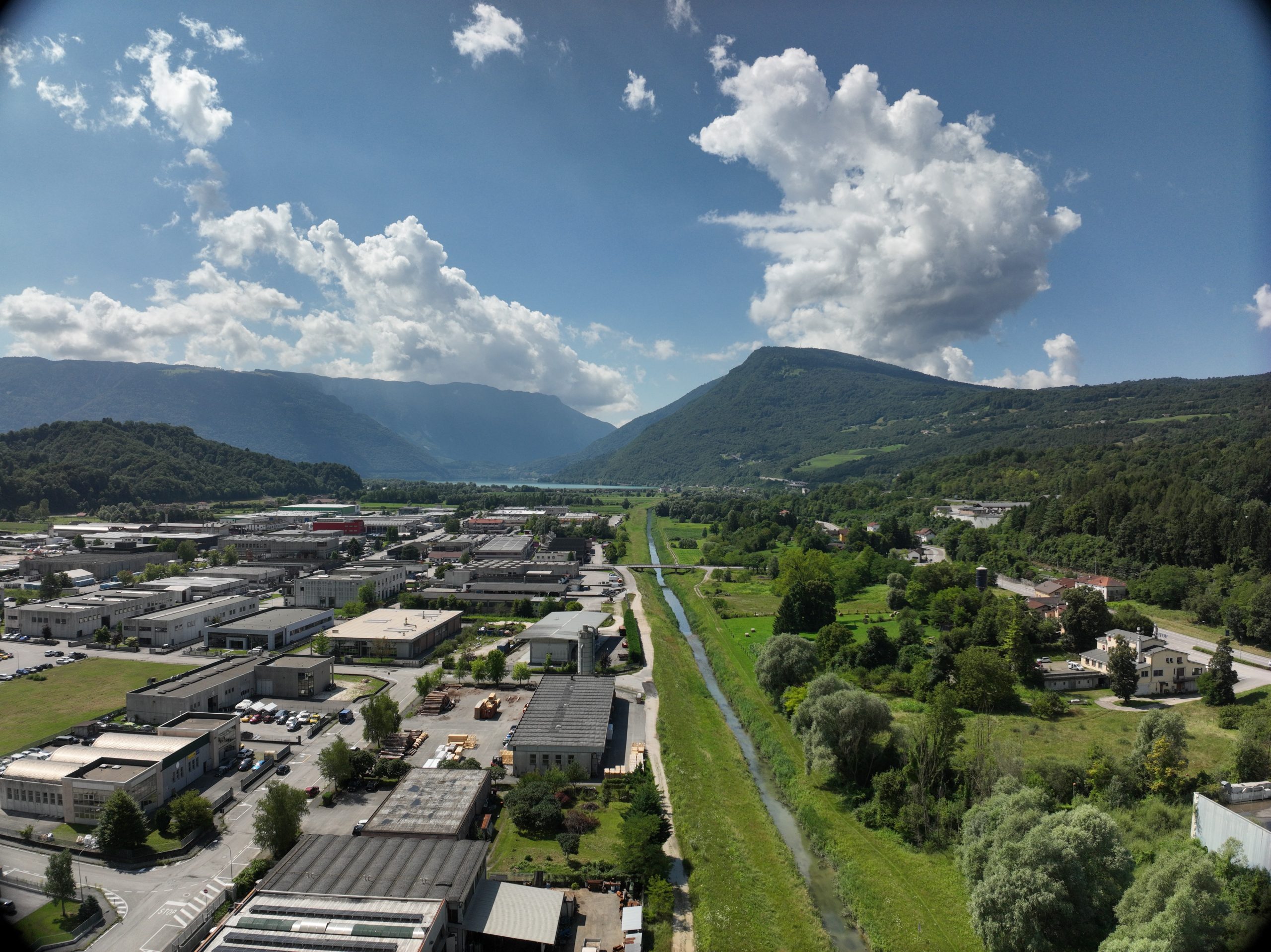
These tools are vital across a wide range of applications, from comprehensive environmental monitoring to the detailed design of infrastructure, forest management, and planning related to hydrogeological risk assessment.
Post-event management and timely decision support
The strategic value of drone and surveys in remote areas is particularly evident following intense weather events. When emergencies occur in the area, there is an urgent need to quickly assess the health of infrastructure and natural defenses.
In just a few hours of flight, drones allow for the inspection and verification of the condition of trails, blocked mountain roads, river banks, mountain slopes, or damaged containment structures. The flight results provide a perfectly updated visual and geometric representation of the affected area, providing authorities and technicians with objective, precise, and measurable data, essential for supporting subsequent technical decisions.
EPC’s Role in Specialized Remote Sensing
With its consolidated experience in remote sensing and the professional use of drones and surveys in remote areas, duly authorized for specialized operations, EPC positions itself as a strategic partner capable of planning, managing, and executing complex surveys even in the most critical environmental contexts.
The company offers customized solutions, promptly responding to the specific needs of planners, public bodies, land-use professionals, and infrastructure managers. In a market where timeliness, data accuracy, and worker safety are crucial, drones remain the primary tool for understanding and protecting the environment, wherever intervention is necessary.